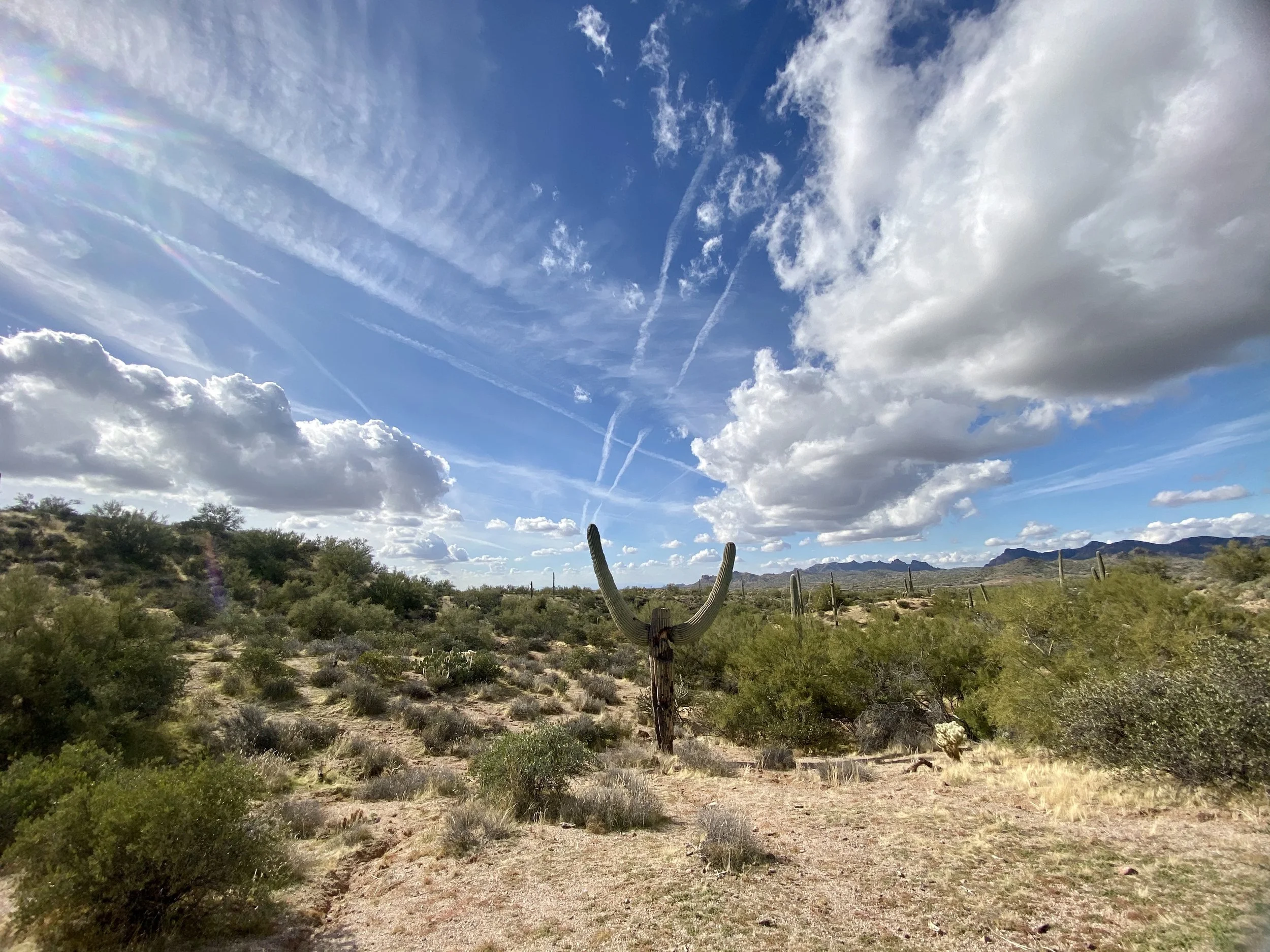
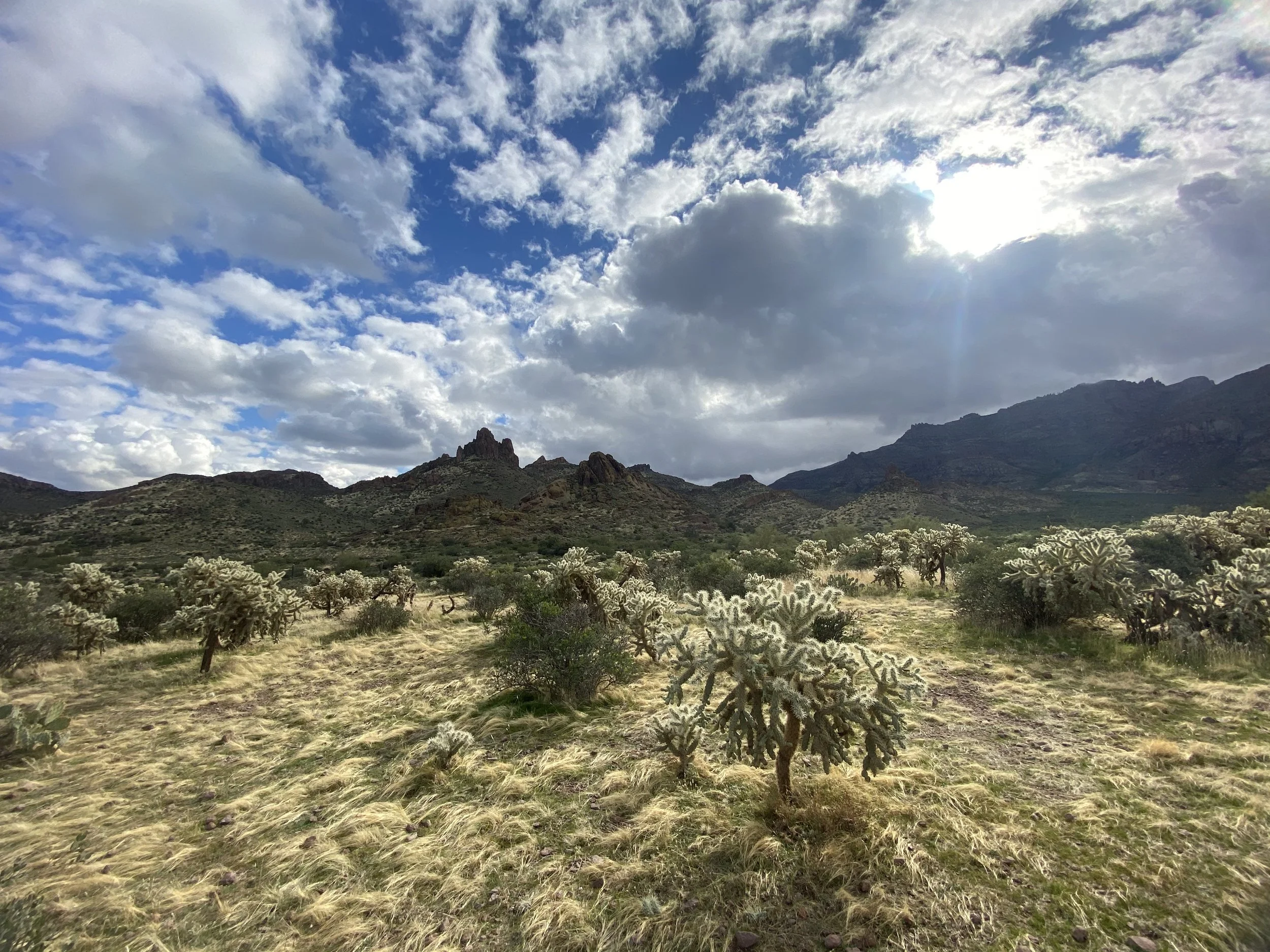
Massacre Falls Hike
Where this trail gets its name is a bit of a mystery. Prior to the Mexican-American War of 1846, this area was part of Mexico. Among the families that once lived in this area were the Peralta Family. If you are familiar with the Phoenix area of the state, you will recognize the name. Numerous trails, landmarks and shops share the namesake. Legend has it, after the war ended, the Mexican families in the area encountered Native American Tribes where what is now considered, Massacre Grounds. Some say the Native American Tribes drove the Mexican families off local cliffs. Some say they simply drove them off the land and stole the Mexican gold. We may never know. One thing we do know, the area where the event I mentioned took place is not located on this trail system.
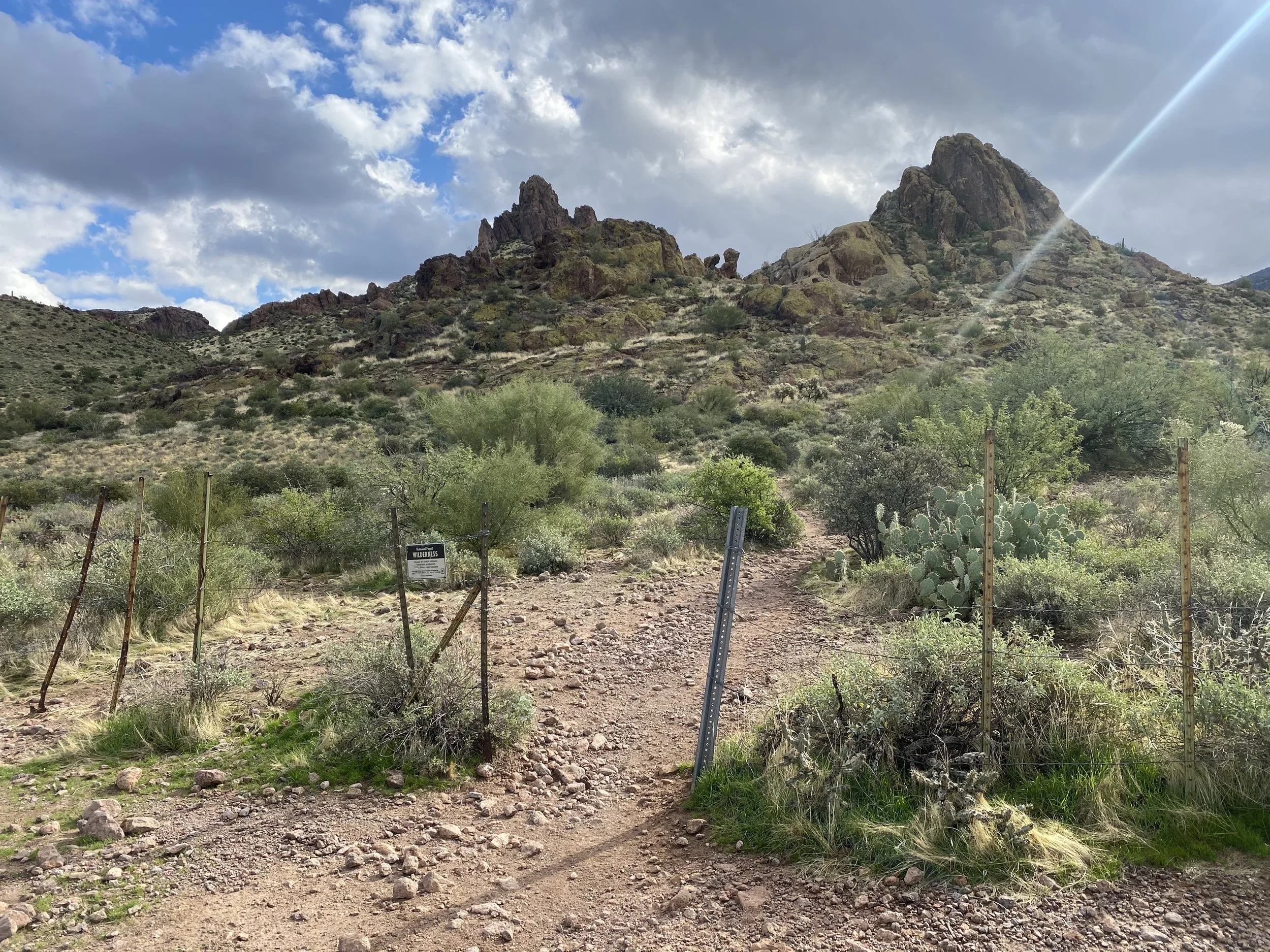
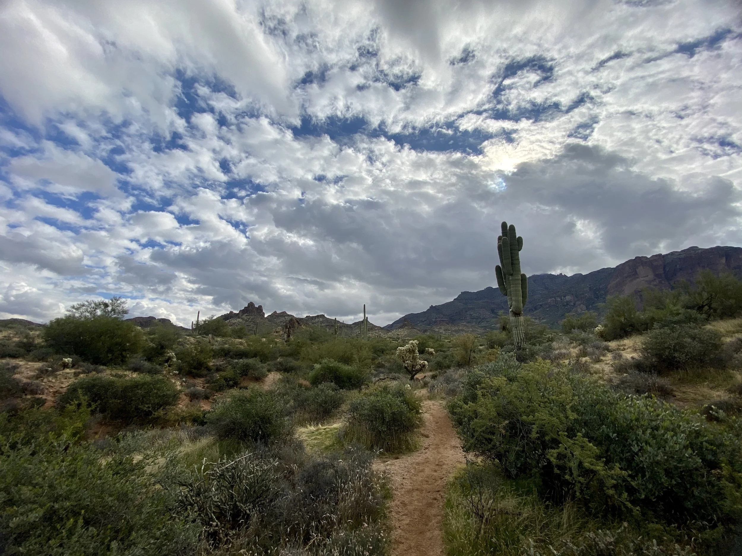
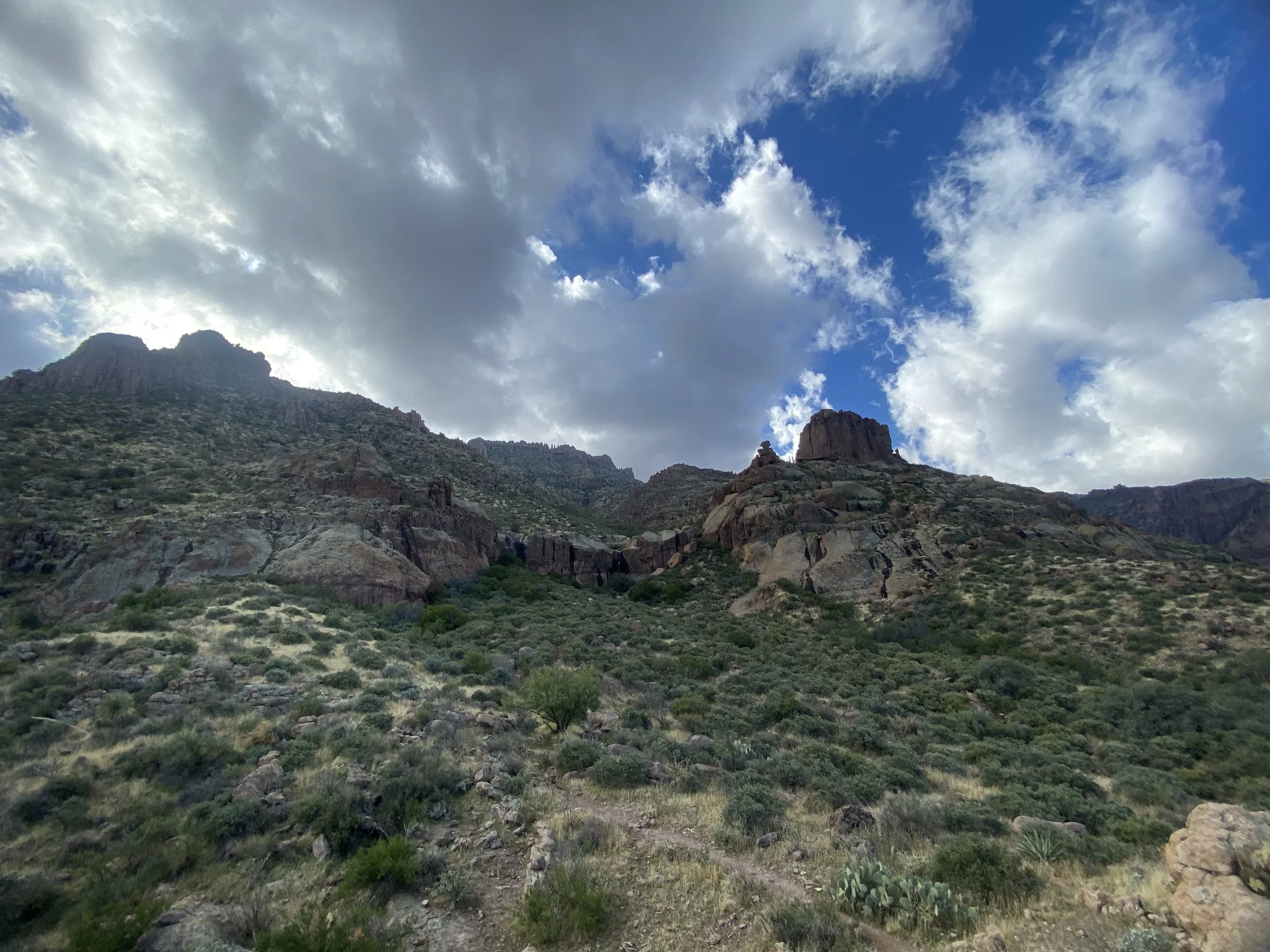
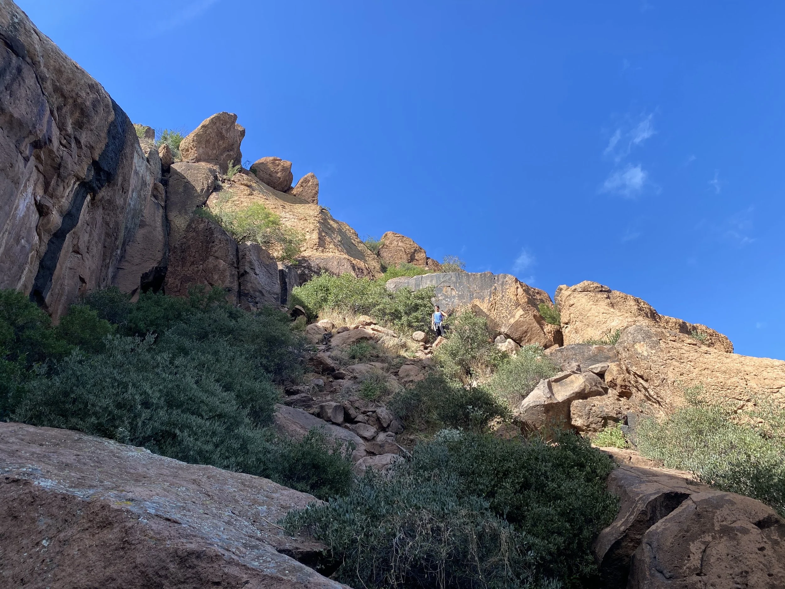
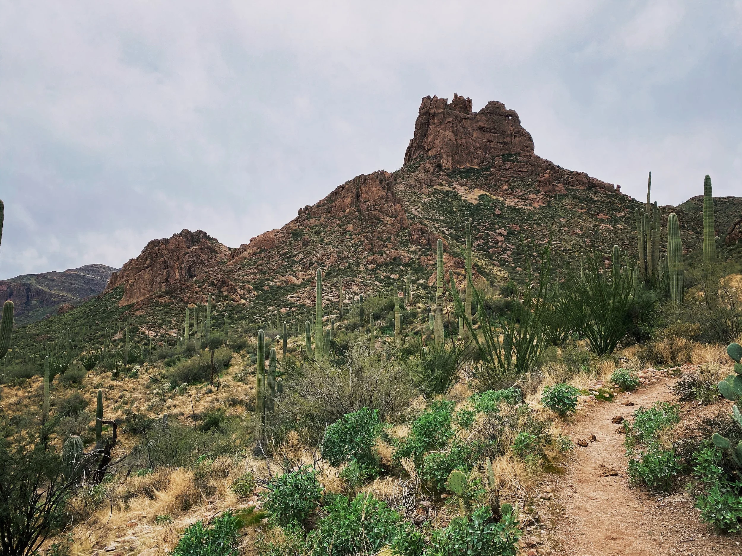
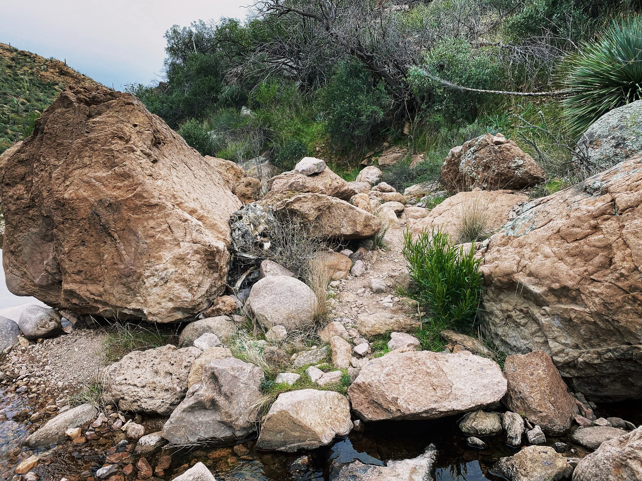
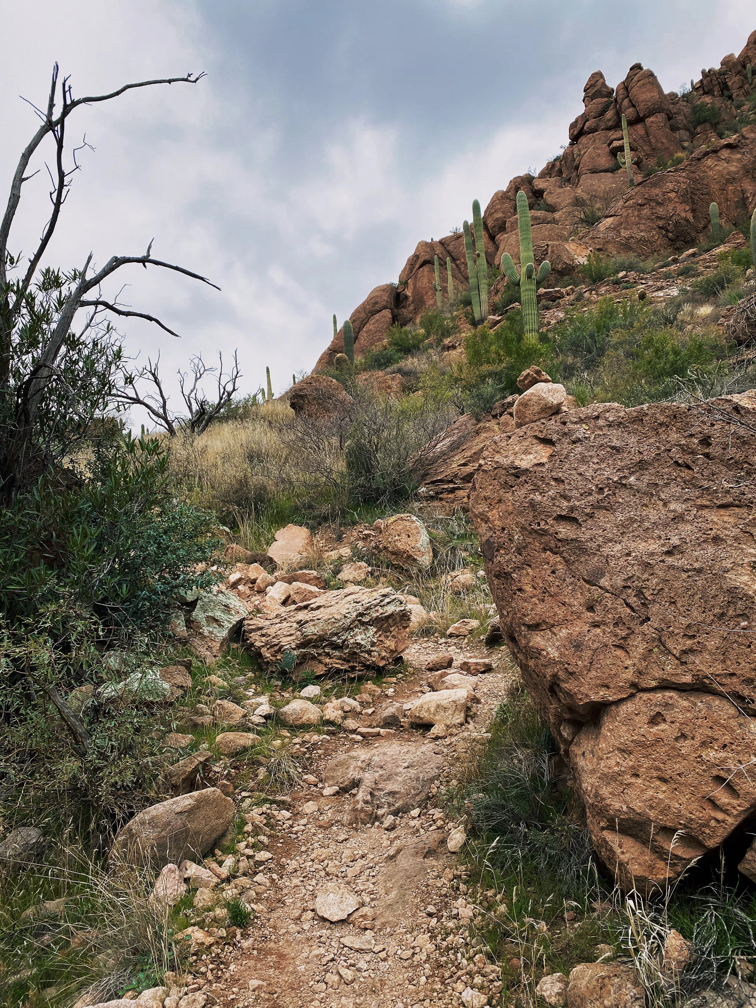
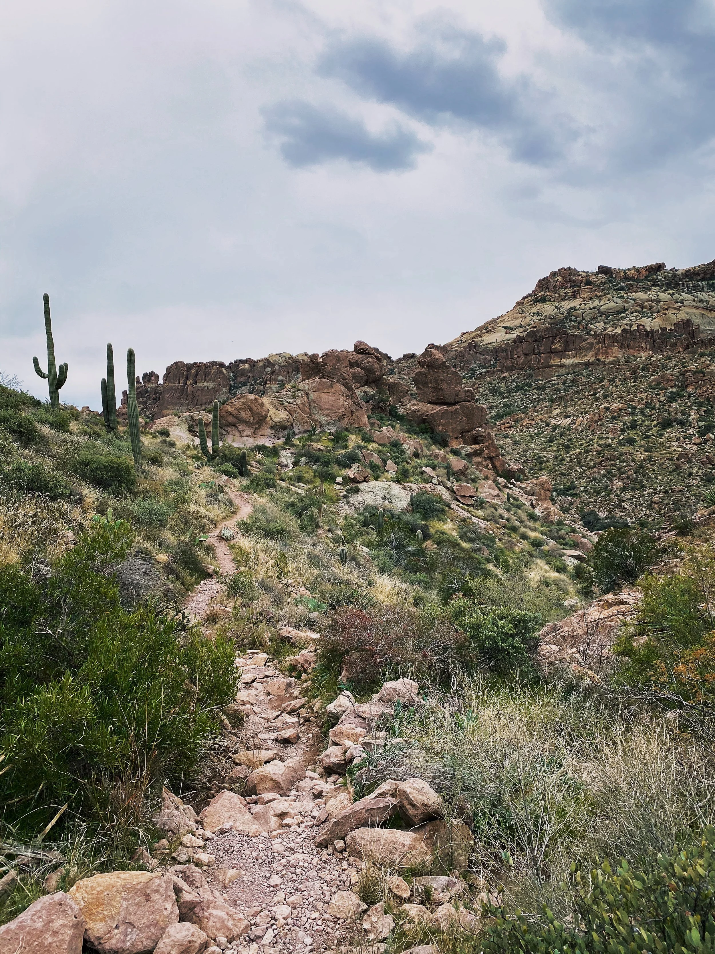
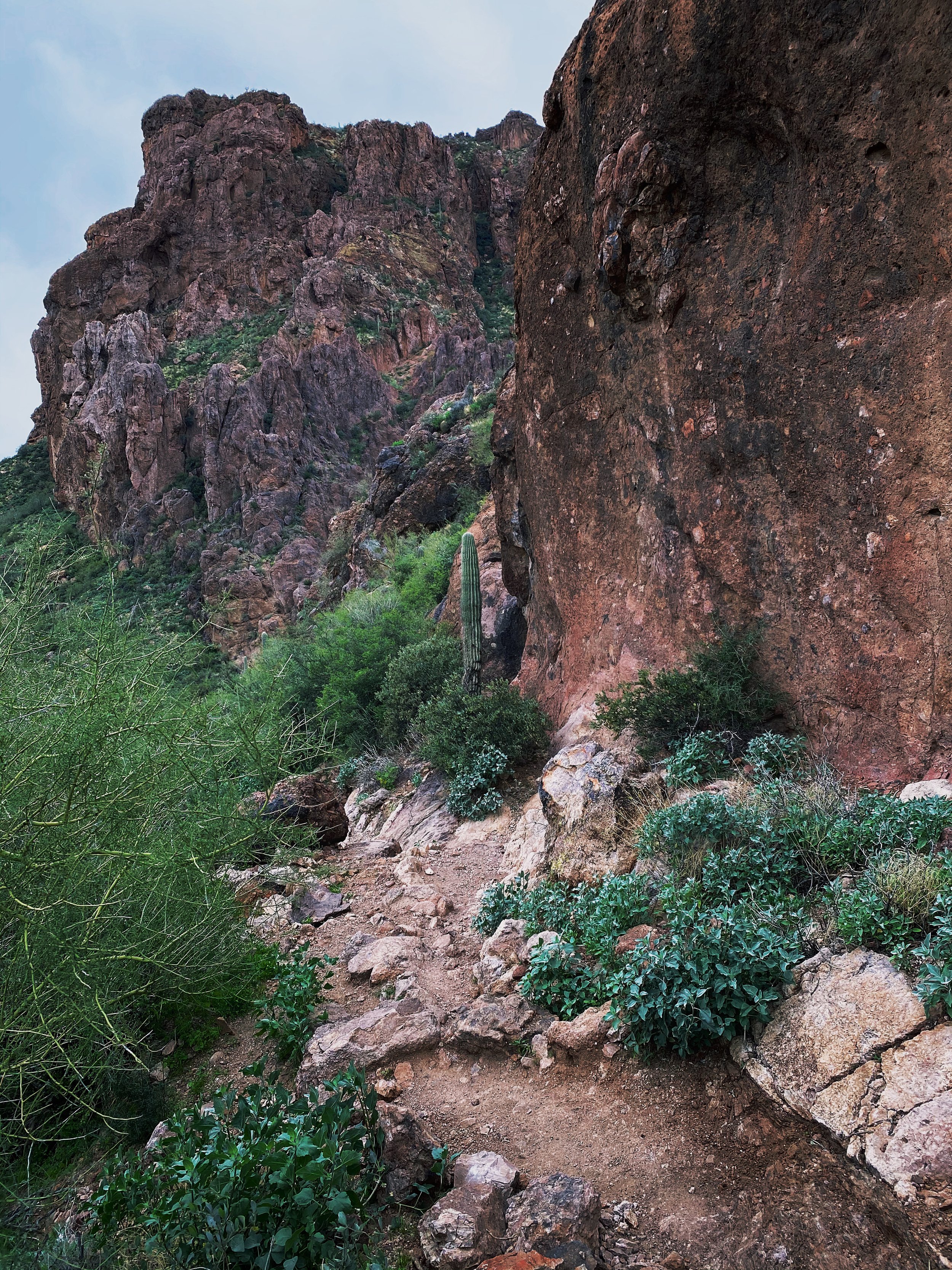
Aside from such a complex history, the trail sounded really good on paper. Navigating your way there is very easy as well as following a well-marked path. Much like every trail in this area, you will hike through sand, climb over some rock, dodge cactus and even scale up a few sharp rock faces. Nothing too advanced but take caution and wear good hiking boots.
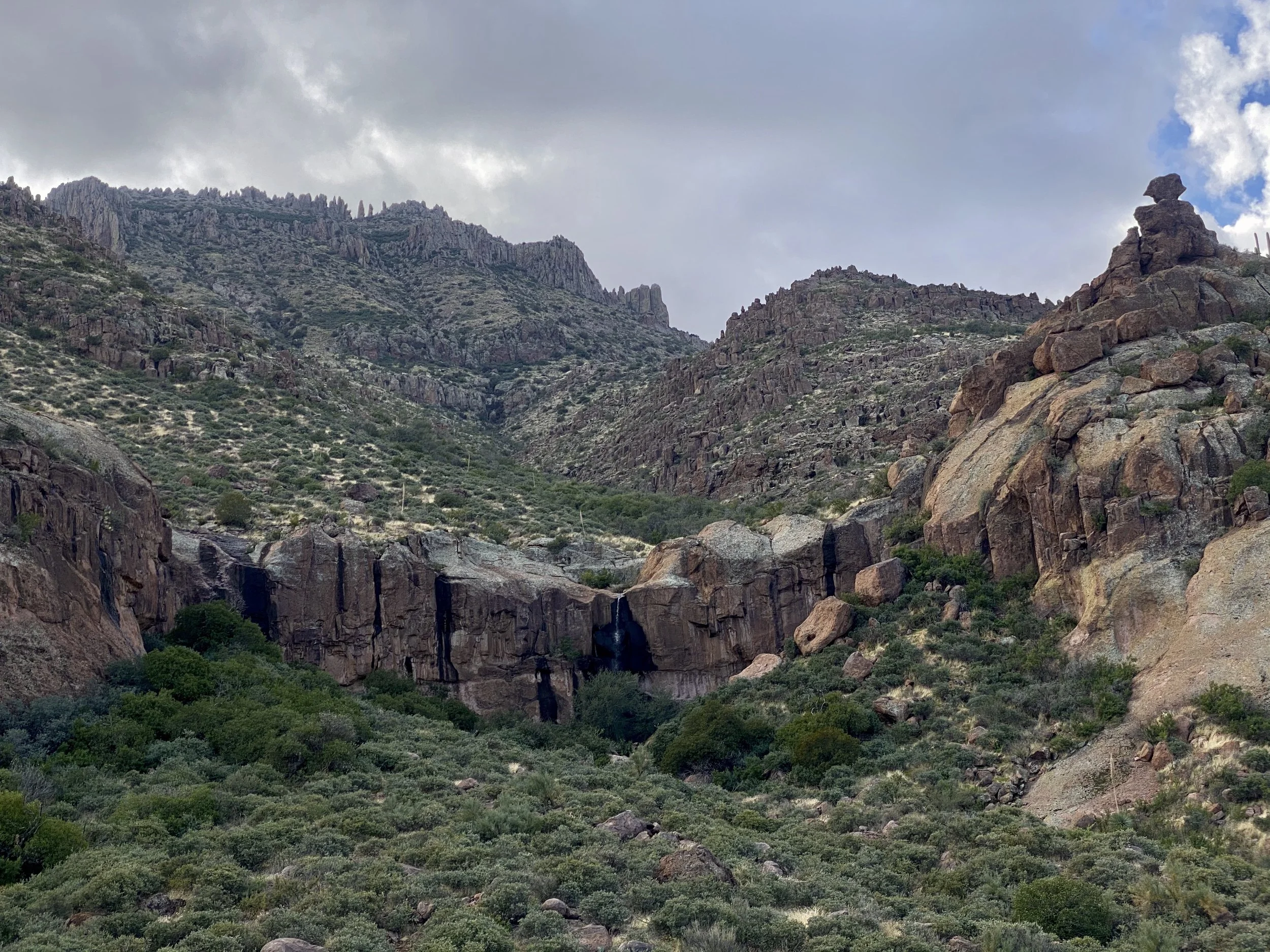
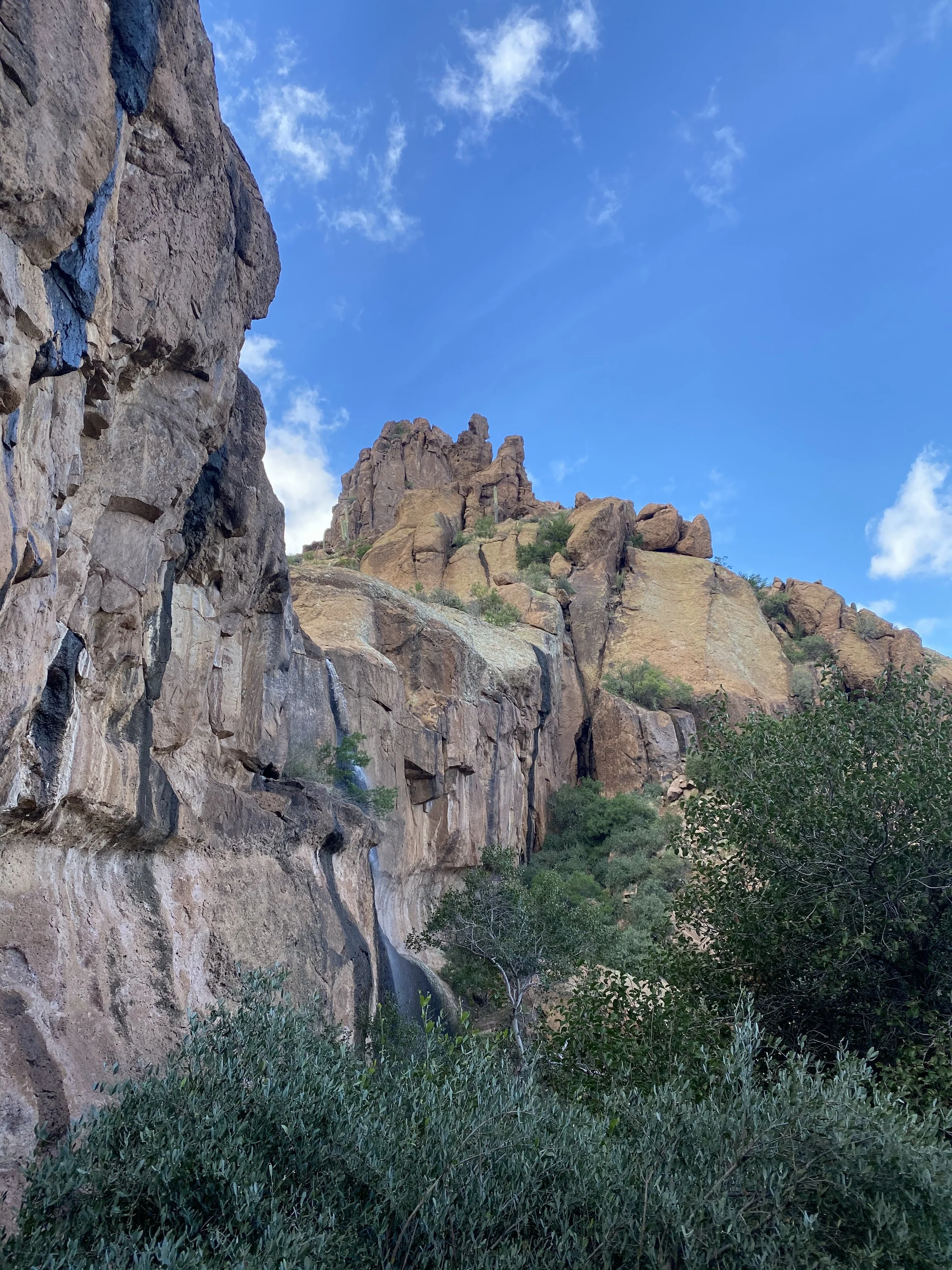
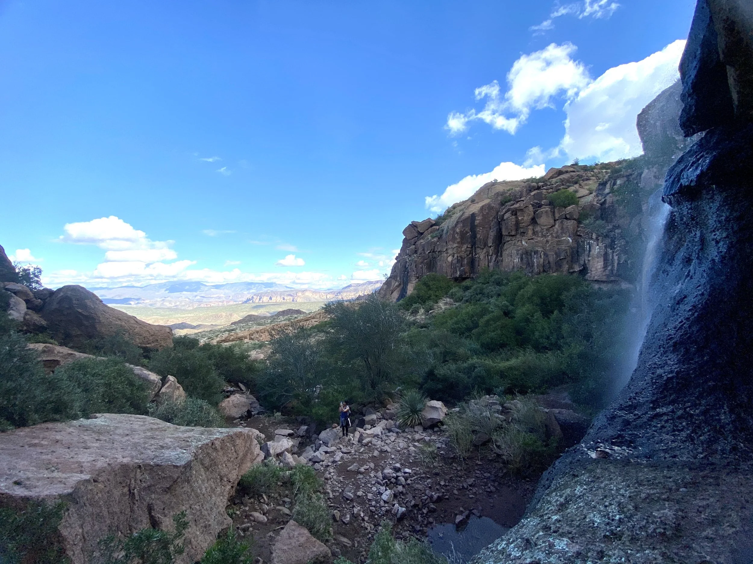
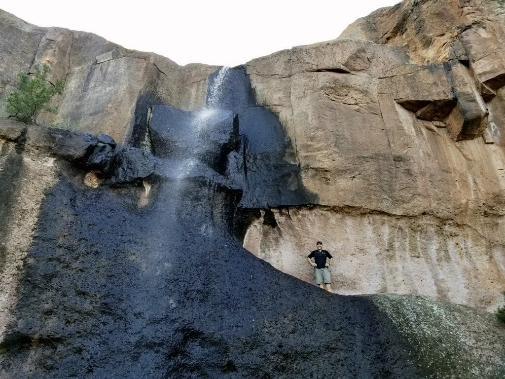
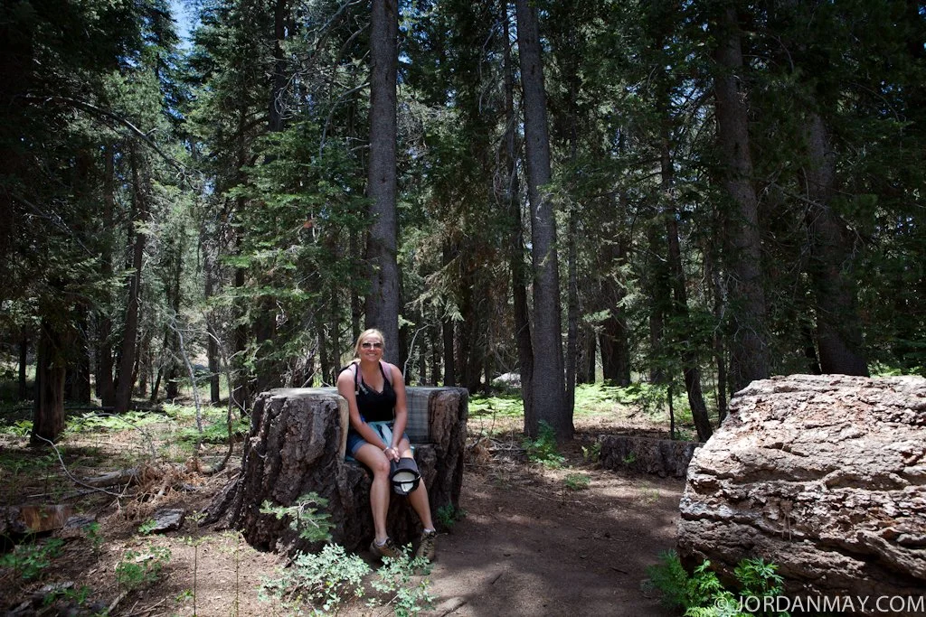
From the parking area to the falls, the trail is roughly 2.7 miles with 1,200 feet of elevation gain. Quickly after I started the hike, I met a new friend. She joined me all the way to the falls and back. I even snagged a picture of me at the falls. It’s pretty rare I get a photo of me doing stuff like this. I prefer being on the other side of the camera.
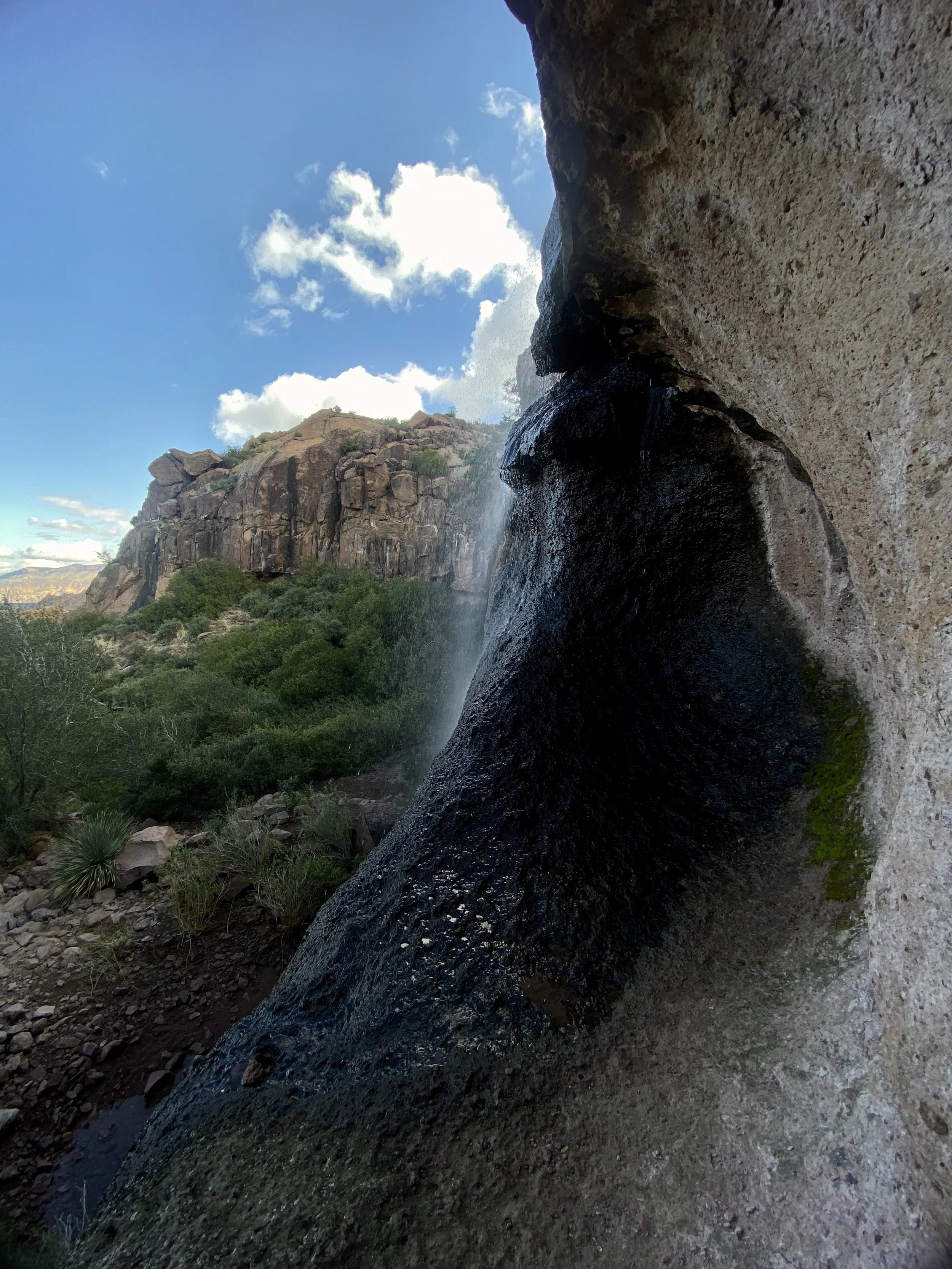
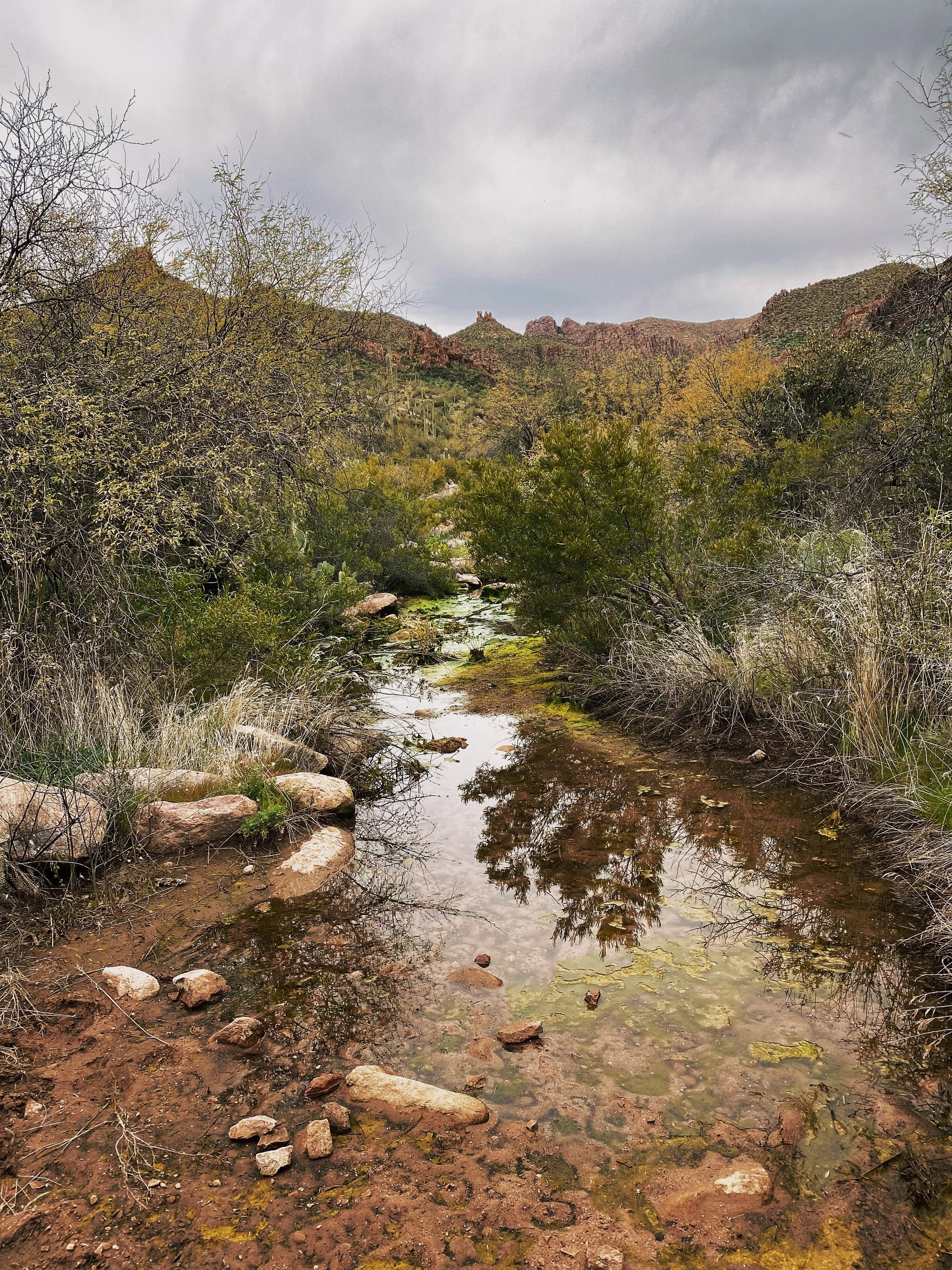
This area receives a good amount of rain which is why the waterfall is usually flowing. We didn’t have a ton of flow when we arrived but it was still a refreshing lunch break. I plan on coming back after a good rain to really see the falls flowing.
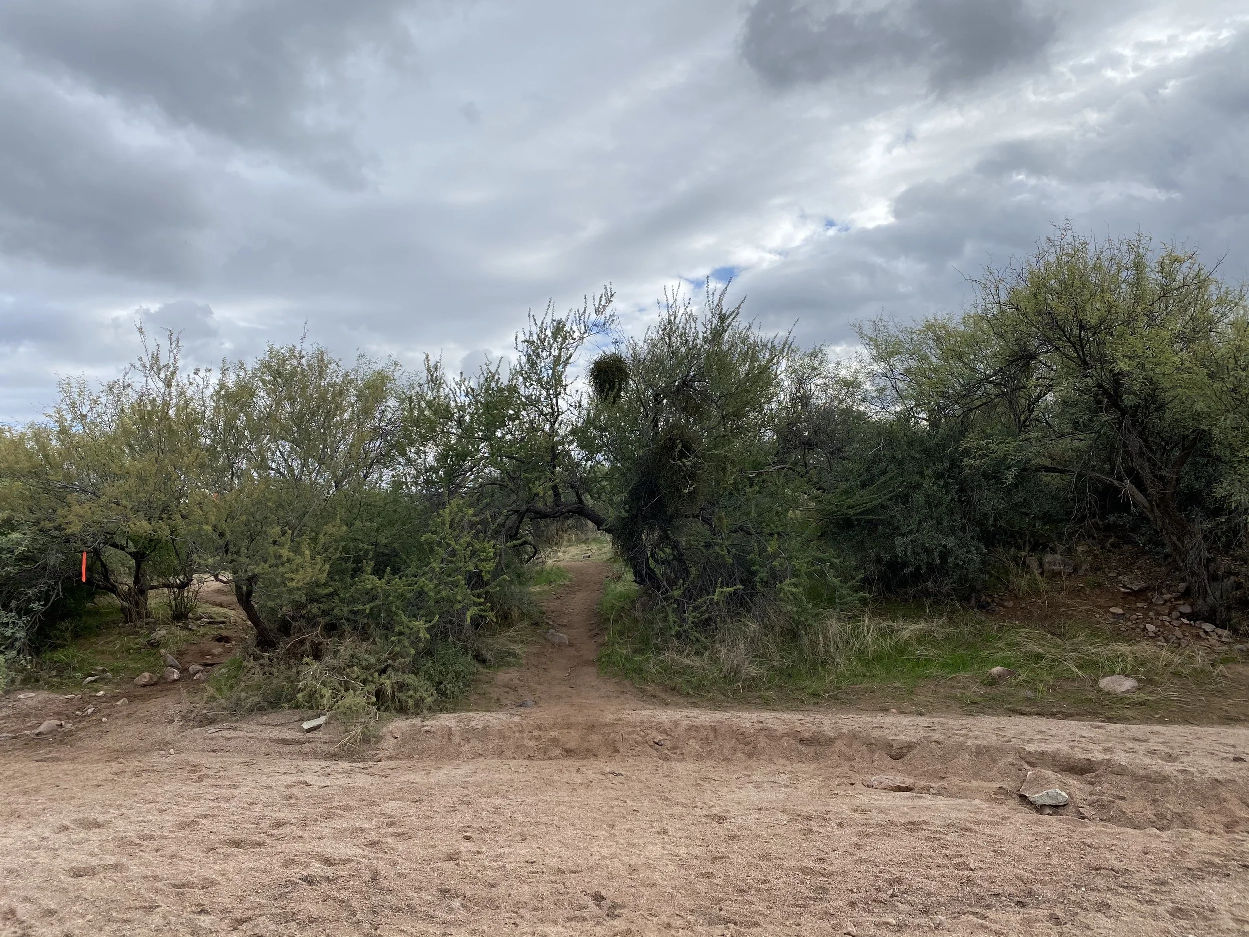
You know you’re on the right trail when you pass through this fence opening.

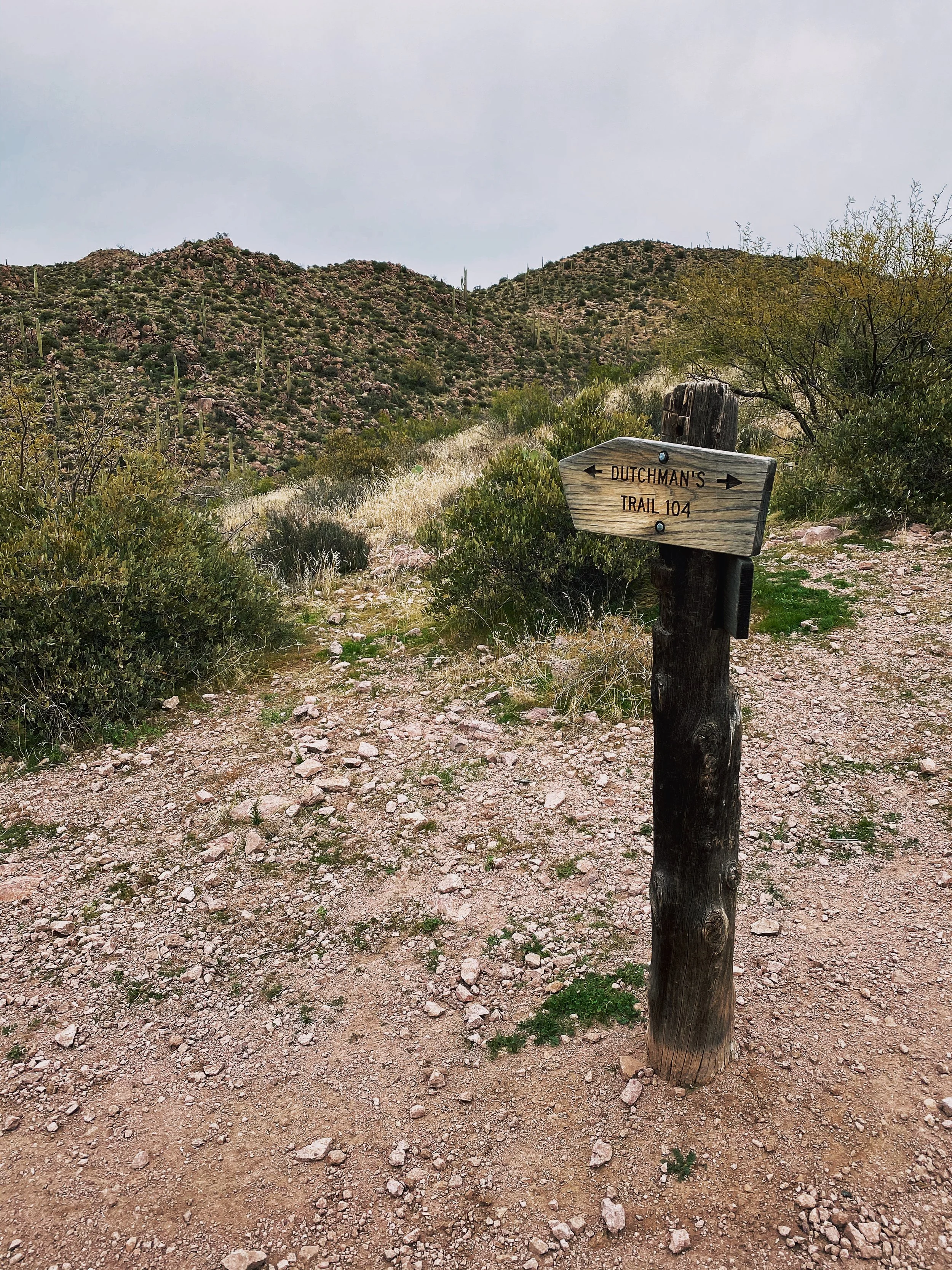
Dutchman Bluff Springs Loop
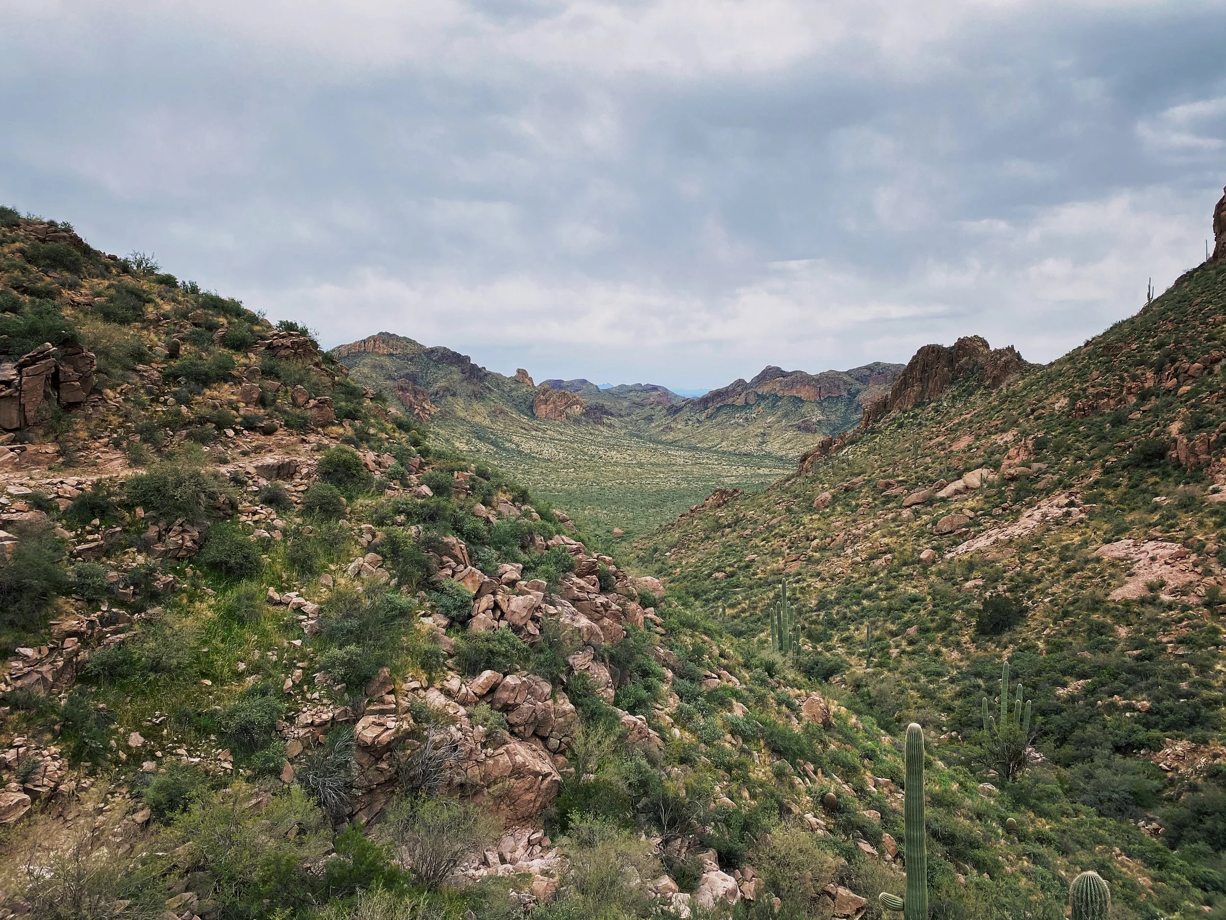
Located just East of Phoenix, Arizona, the Dutchman Bluff Springs Hiking Loop is tucked in nicely along the Superstition Mountains. During one of my assignments in Arizona, I made time to get in a days hike. Looking over All Trails, I came across this gem. I was looking for something that required medium to strenuous effort without any rock climbing or scaling rock walls. Hiking solo, I wanted to keep risk to a minimum. I still had a job to do the next day after all!
This loop is just over 9 miles in length and typically takes 4-5 hours to complete, depending on weather and your fitness level. I finished somewhere in the middle of that timeframe. As with every trail in Arizona, please be prepared. Hiking in the desert can be dangerous without proper preparation. Always let someone know where you are going and when you should be back. Pack more food and water than expected. I suggest some type of satellite emergency device, such as a Garmin InReach. A good portion of this trail has ZERO cellular coverage. For the kids out there, that means your iPhone isn’t going to let you upload to Instagram while hiking. Sorry.
I would also recommend a solid pair of hiking boots, leave the trainers at home. You will want some ankle support and a hard sole. A good portion of this trail requires navigating rocks, stream beds, narrow passages and a few exposed sections where footing is key.
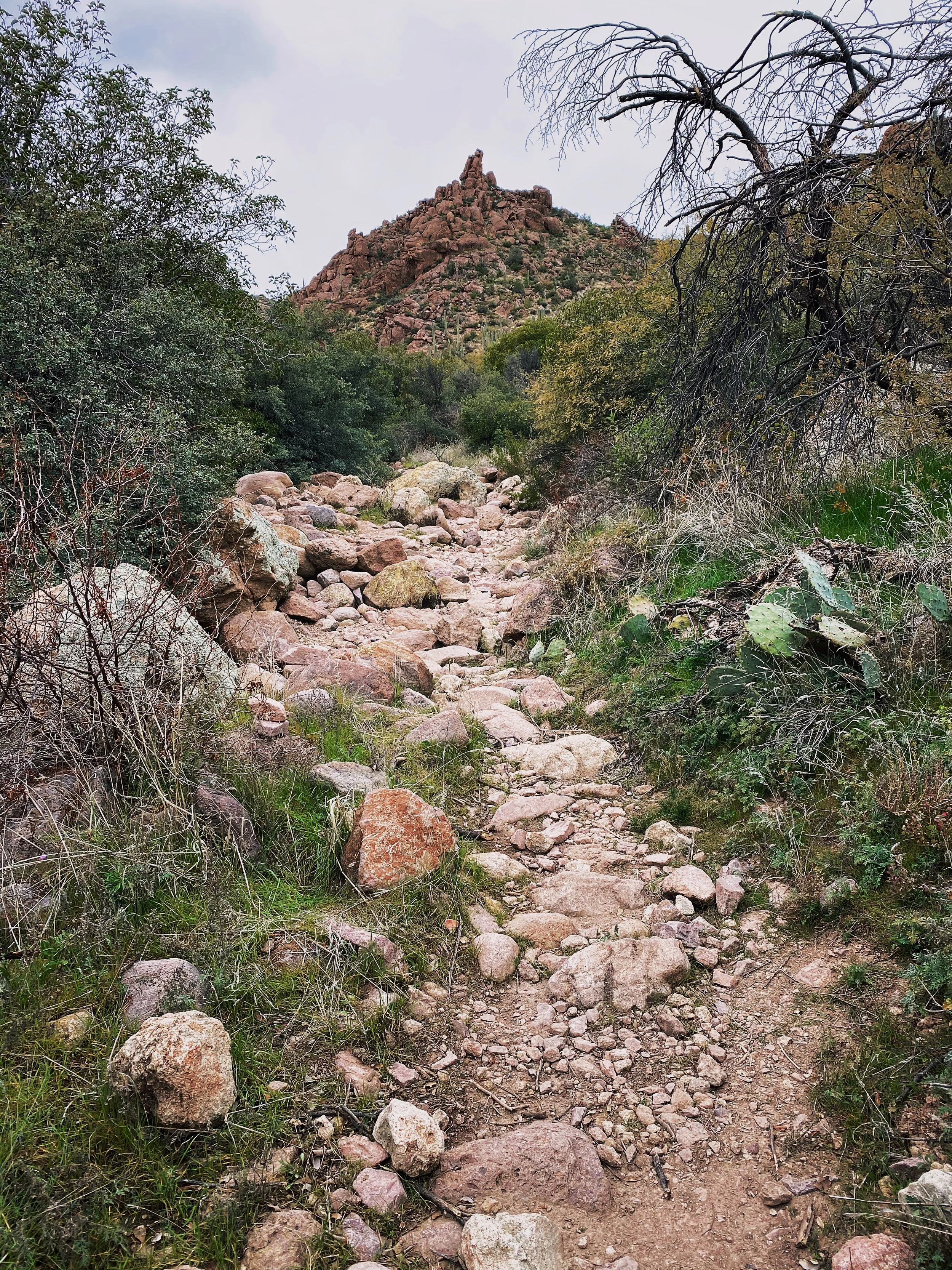
Bring a camera or at least your phone, you will be in for a number of scenic treats along the way.
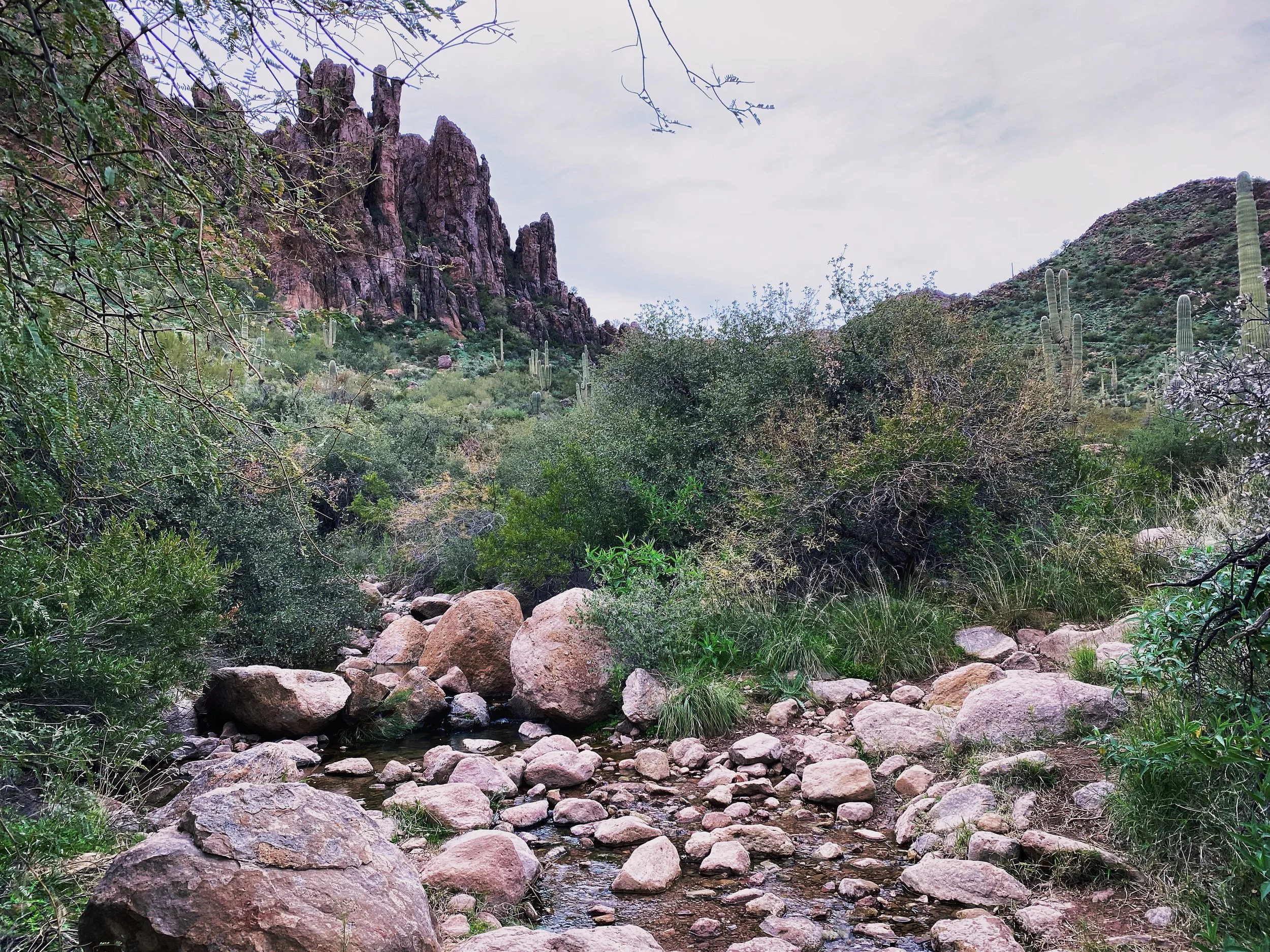
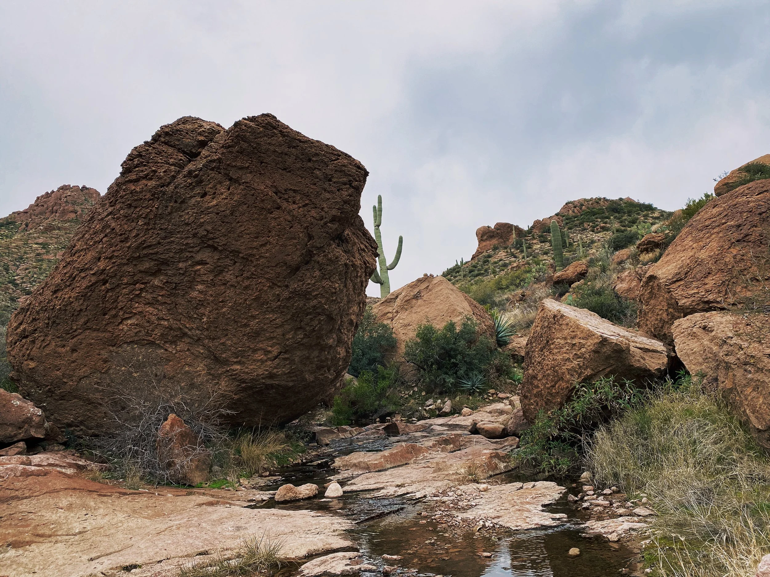
Saguaro cactus is littered everywhere standing tall. Remember to keep an eye on your arm movement as you pass or you may have some prickly friends along for the ride.
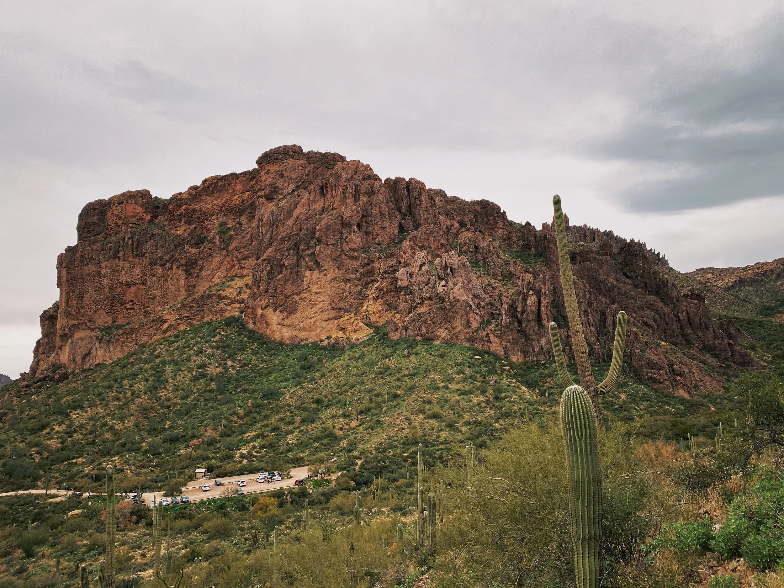
Upon arrival you will find a small dirt parking lot and restrooms. I have completed this hike 3 times and found the restrooms always open. I wouldn’t count on it though. Be prepared to pack it in and pack it out.
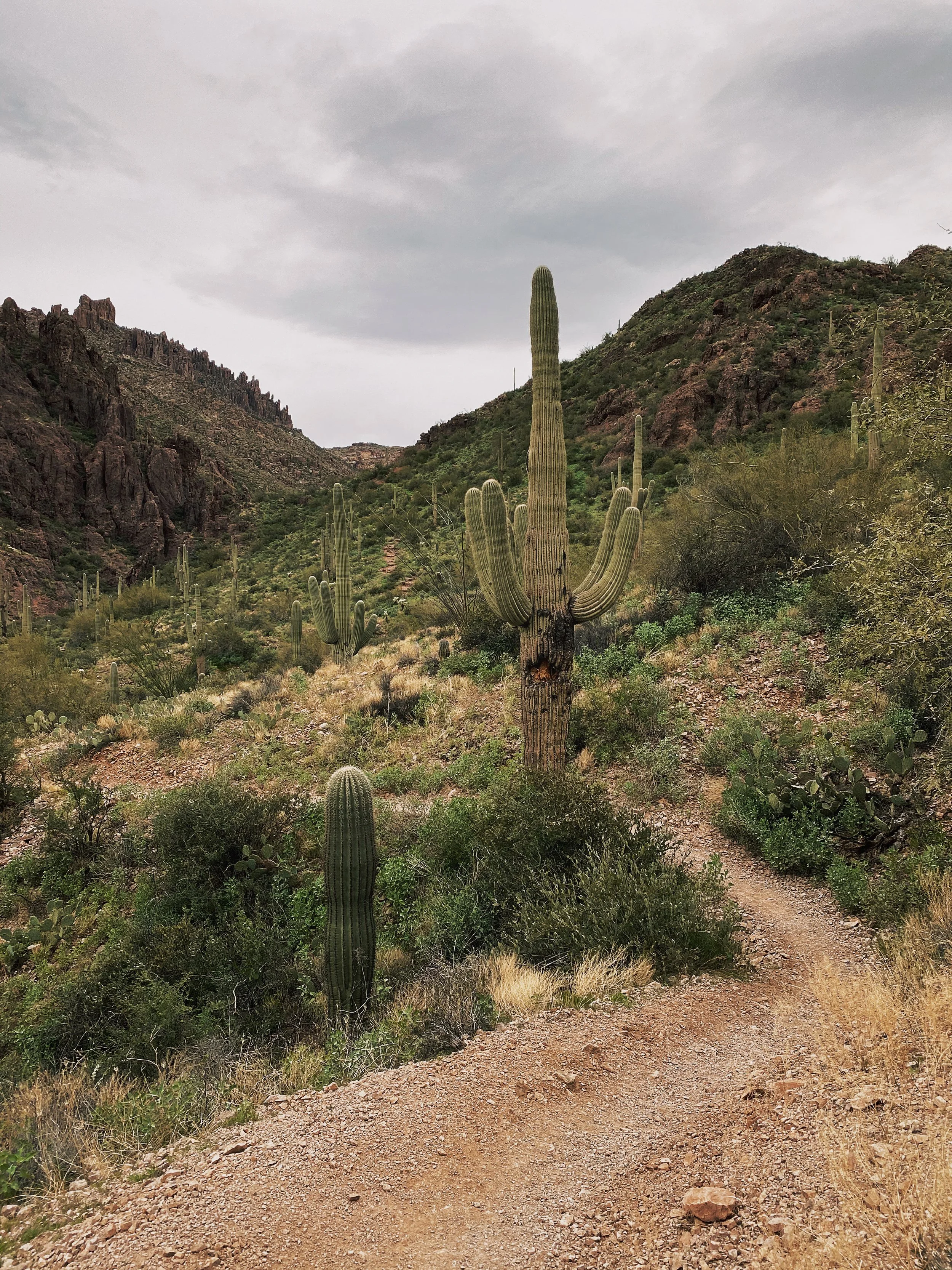
The trail is very easy to follow, though I would still recommend downloading a copy of the trail map to your phone ahead of time. Even with zero cellular coverage, a downloaded map file should still show you as a DOT on the map. I was able to follow the All Trails map with ease.
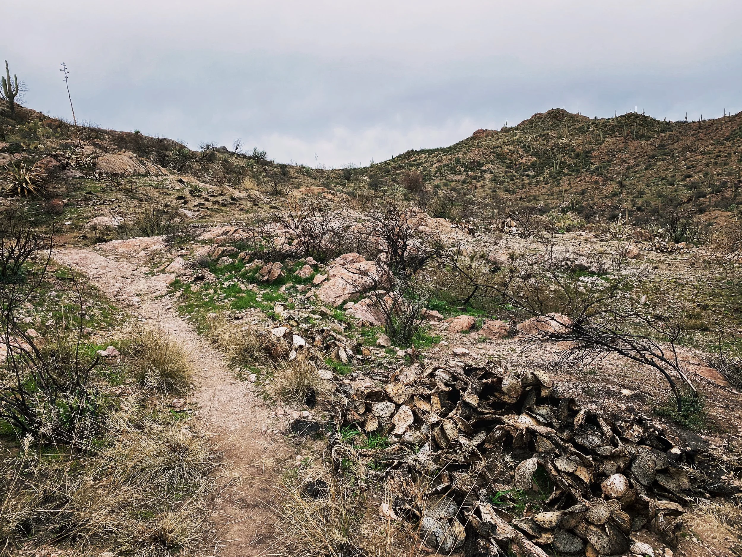
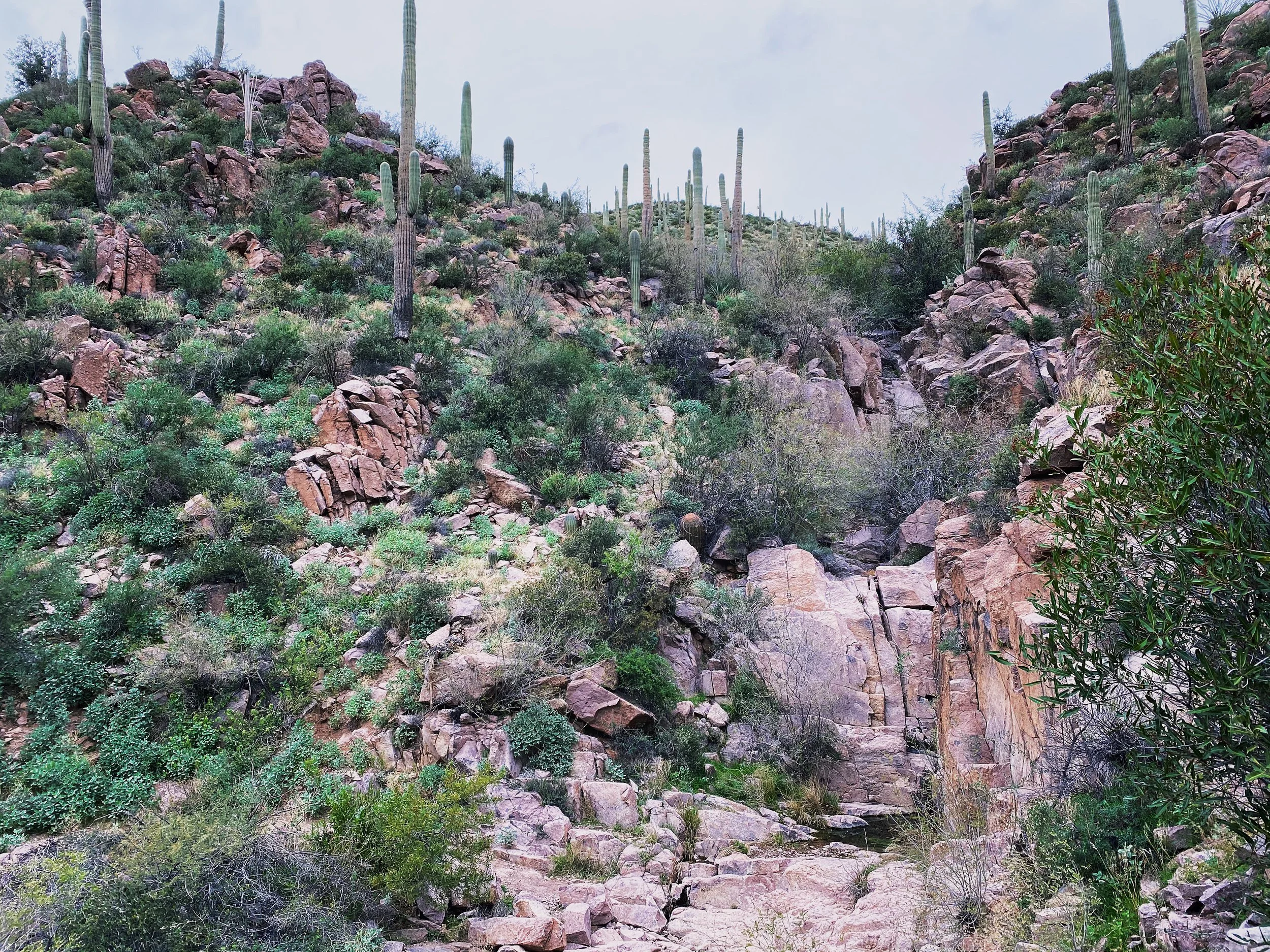
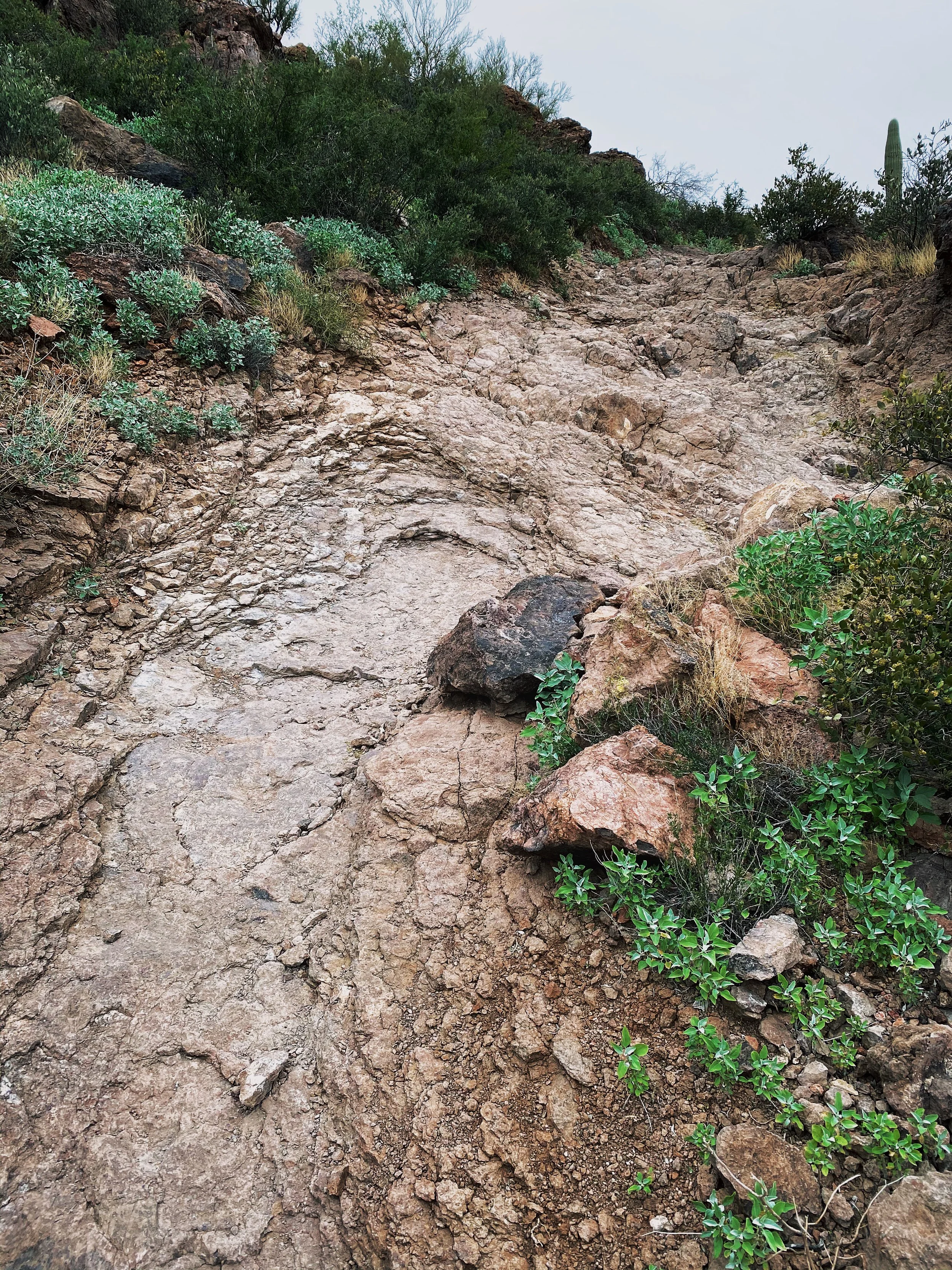
Sections like this are why I recommend hiking boots. Easy to turn an ankle navigating rock gardens. A set of hiking poles may not be a bad choice either.
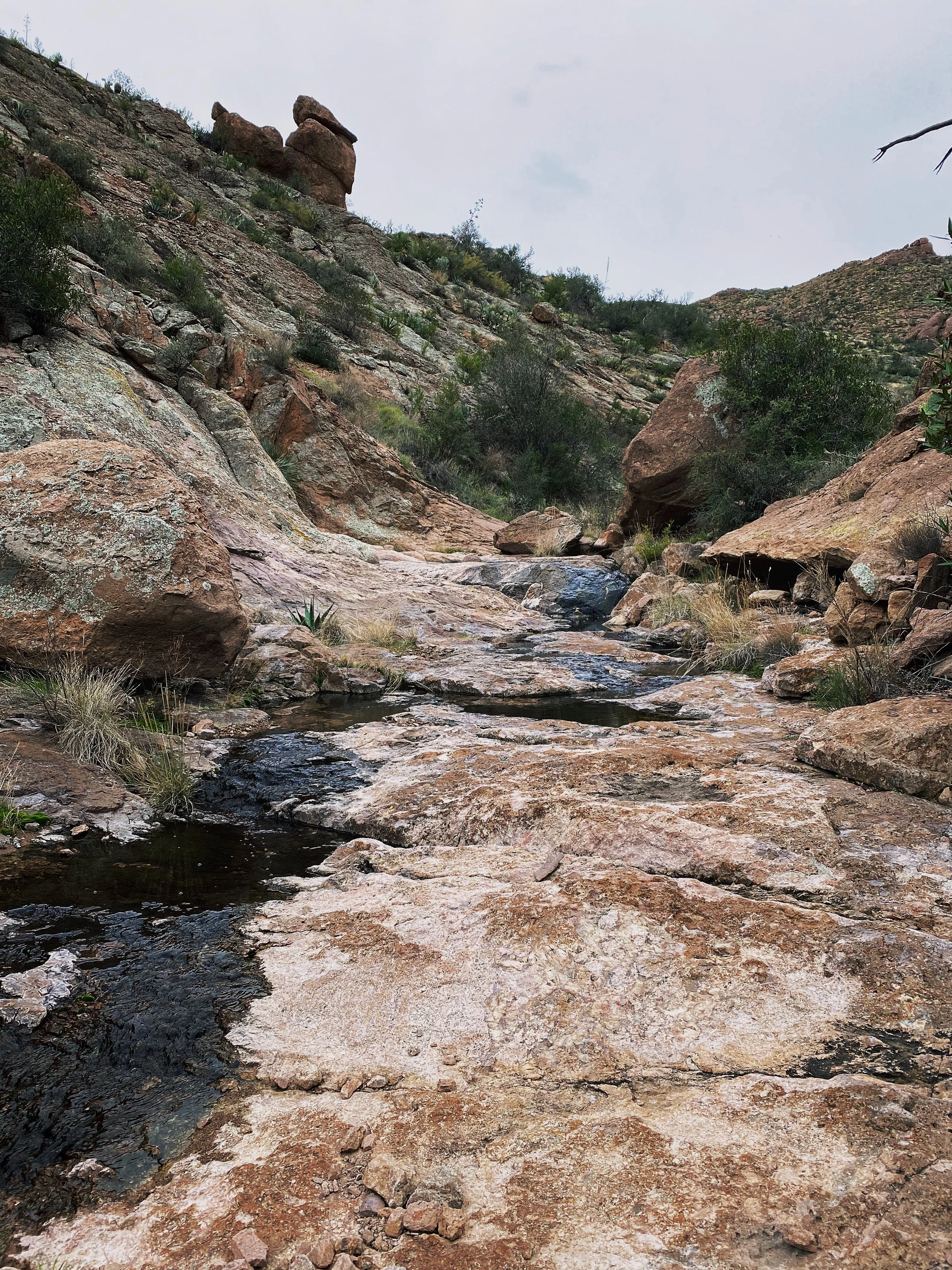
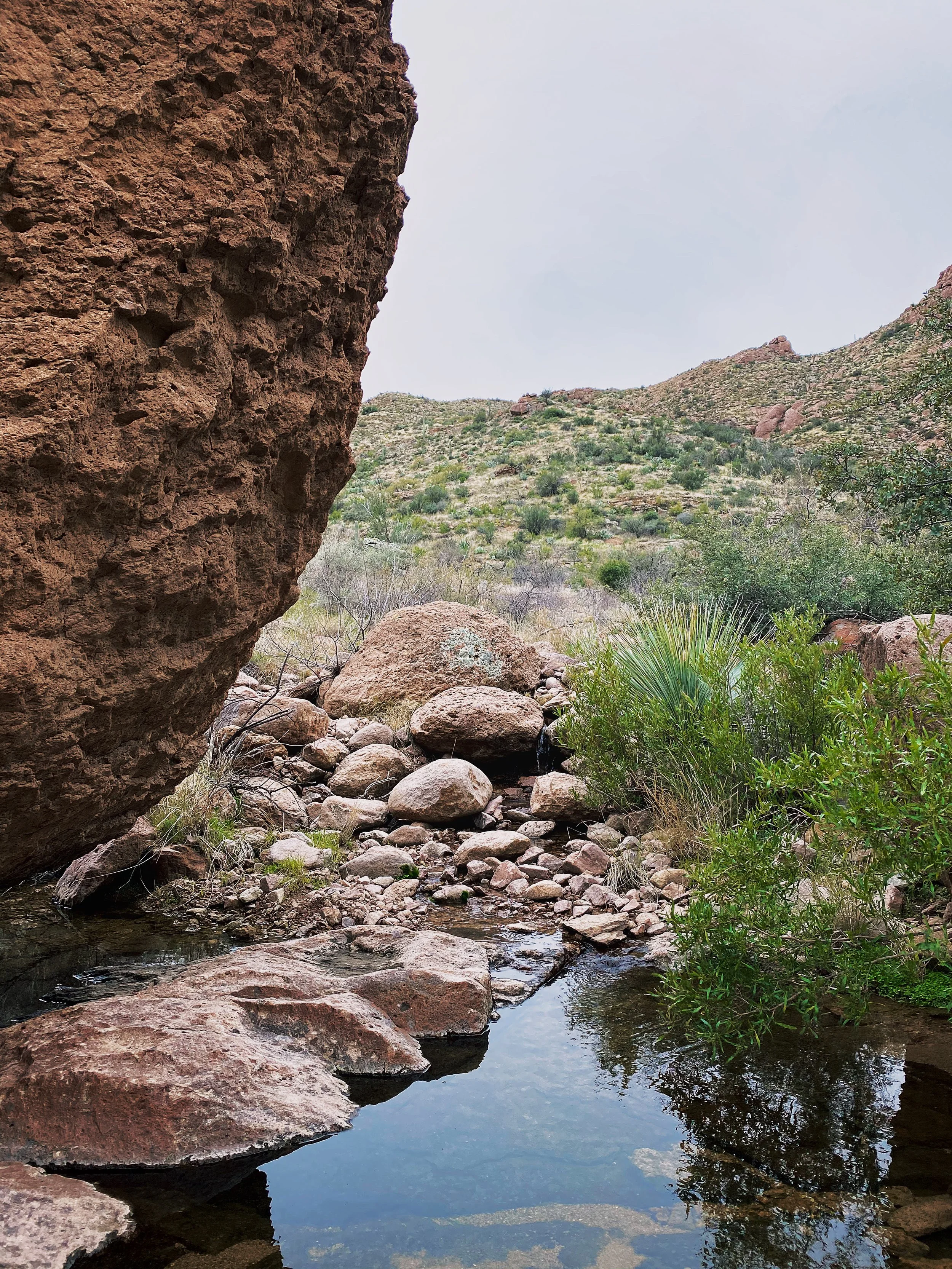
Use caution traversing the slick rock sections. It get’s its name for a very good reason. If there is ANY water flowing through the canyon, it will make passing much more challenging.
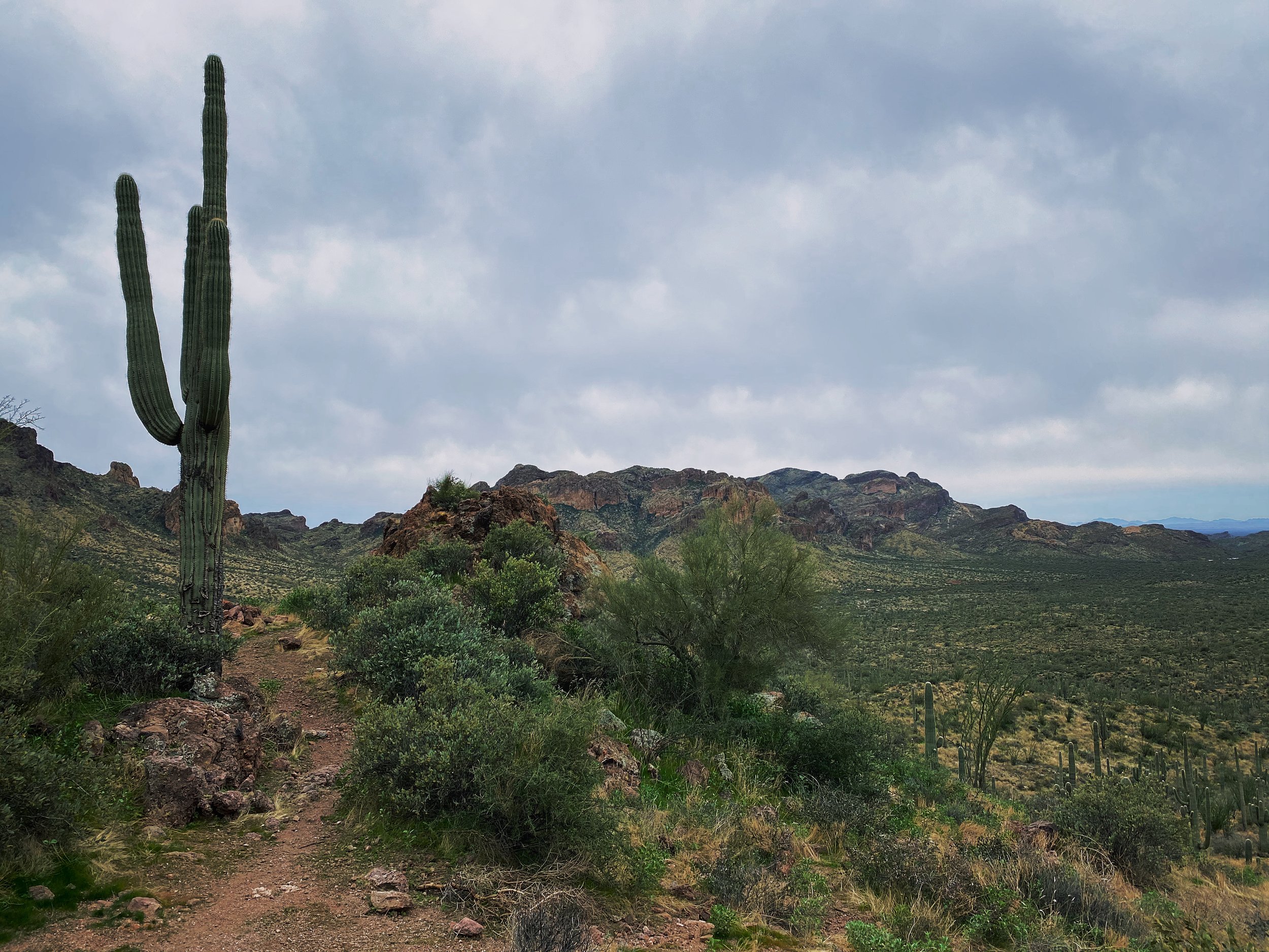
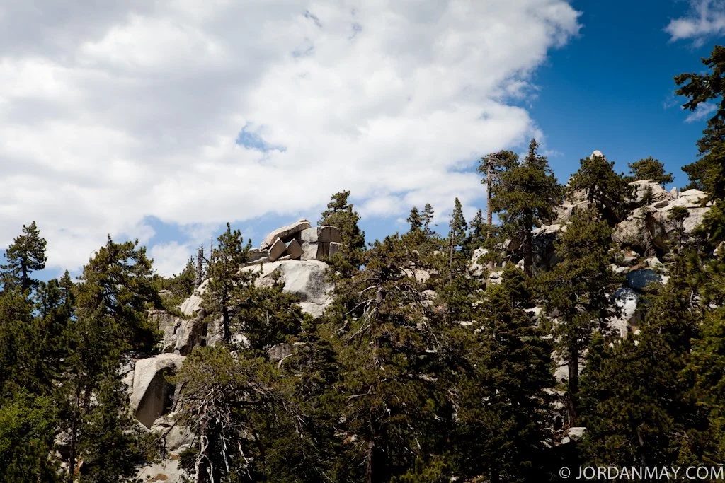
Though most of the inclines are mellow, there are a good number of punchy ups.
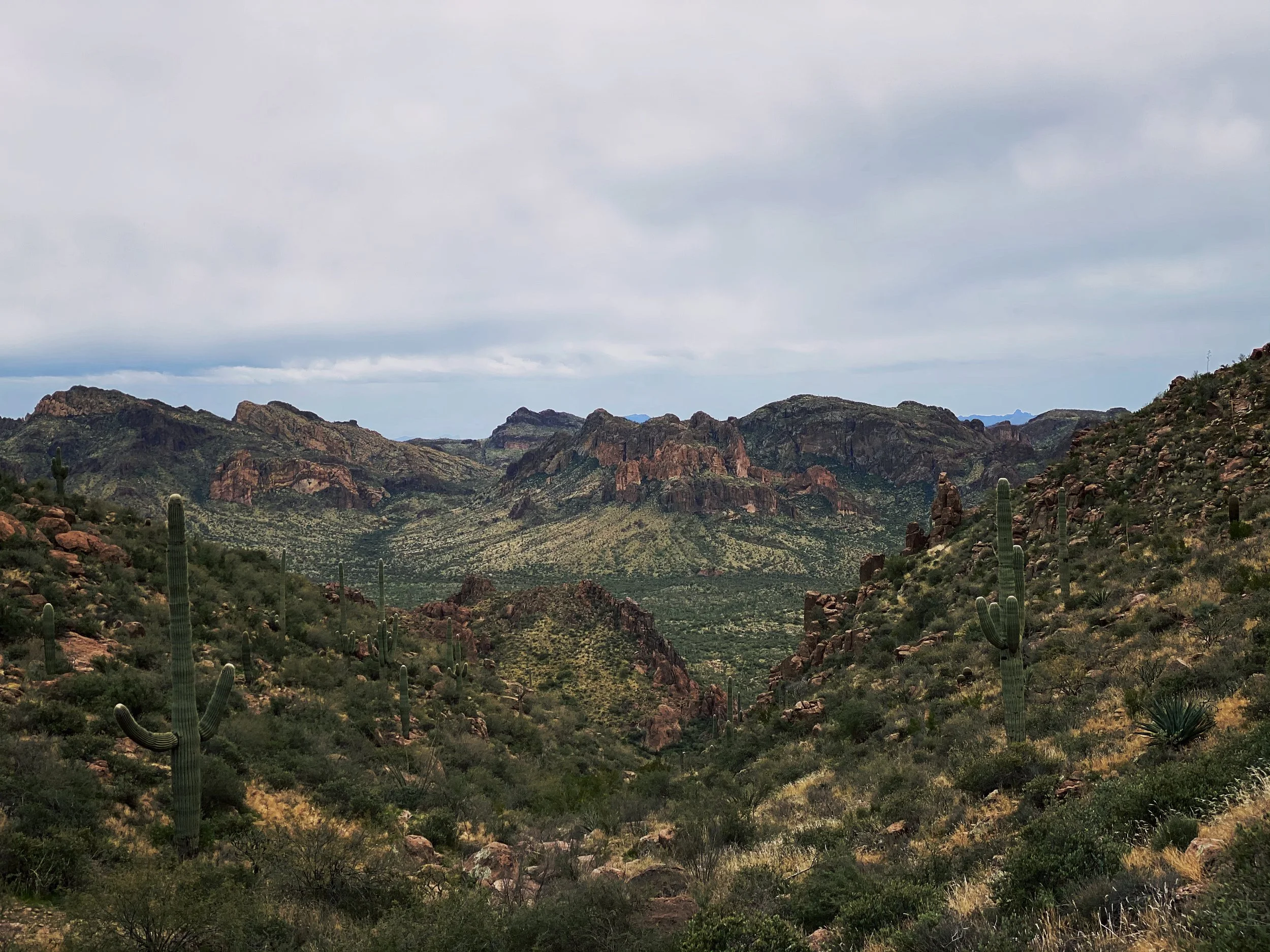
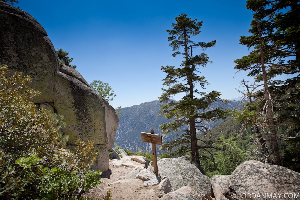
Views on views. At this moment I was really missing my Fuji X-Pro 2 I left in the hotel room.
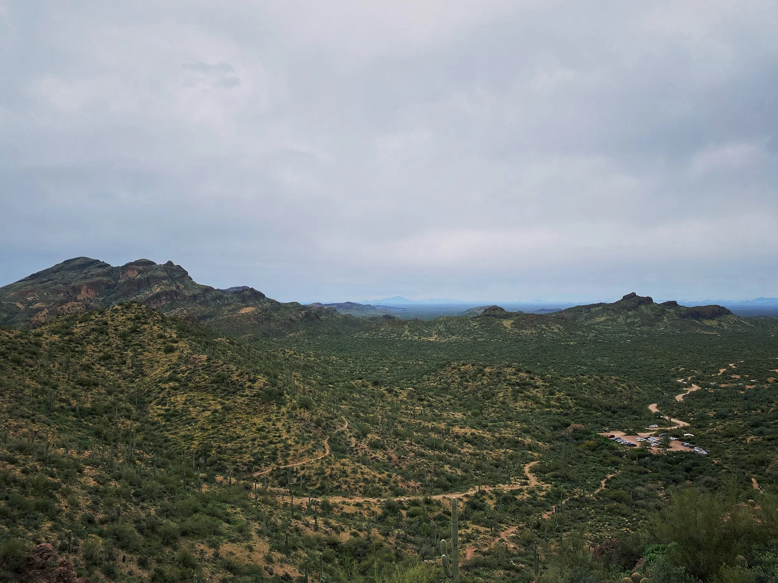
Looking back at the parking area after hitting the first peak of the day.
This is one of the punchy climbs I mentioned. It is much steeper than it looks. Be ready.
I found a great deal of information about the trails, recent trail reports, weather and more on All Trails. Do some research before you embark on your own. As always, stay safe and have a blast out there!
Hiking Siberia Creek
"Hey Jordan, do you want to go for a hike with me in Big Bear?" I responded with merely a grin. Jen had been telling me about one of her favorite Big Bear trails for some time. As soon as time permitted, I jumped at the chance to join her up the mountain. Not only is she an avid snowboarder in the winter, Jen has a second home in Big Bear and spends her summers hiking and biking when not shooting weddings.
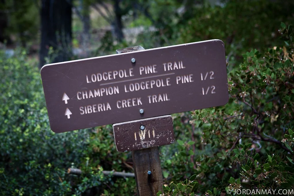
After a quick stop at Leroy's in town, we made our way toward 2N10, where many of the US Cup Mountain Bike Races are held. 2N10 is a fire road that is mostly flat (you can drive a Civic down most of it but you may not want to). Following the 2N10 to the 2N11 will get you to a roundabout parking area and the start of Champion Lodgepole Pine Trail that leads into Siberia Creek.
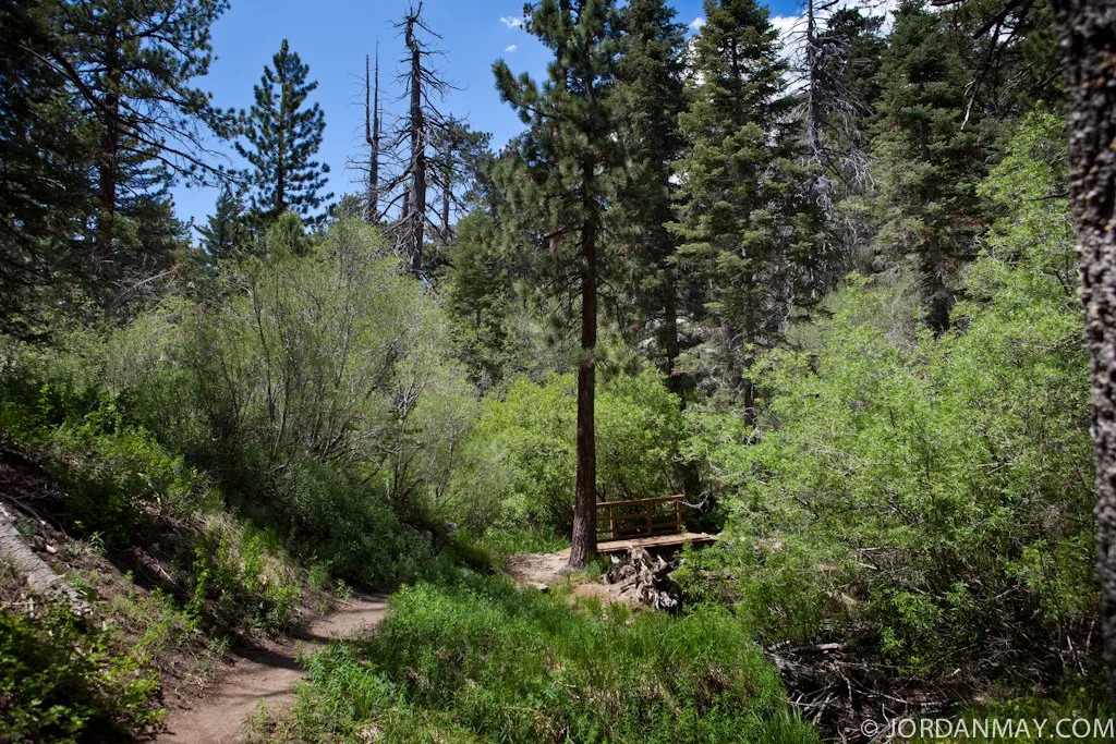
Immediately following the parking area, you will find trail markers. They are very easy to locate and follow. I suggest hitting up Bear Valley Bikes in town or the Big Bear Welcome Center. Plenty of FREE maps available in the shops or online.
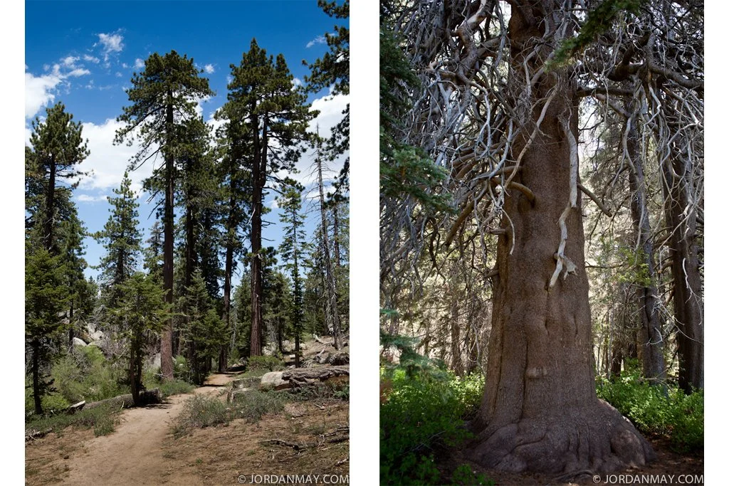
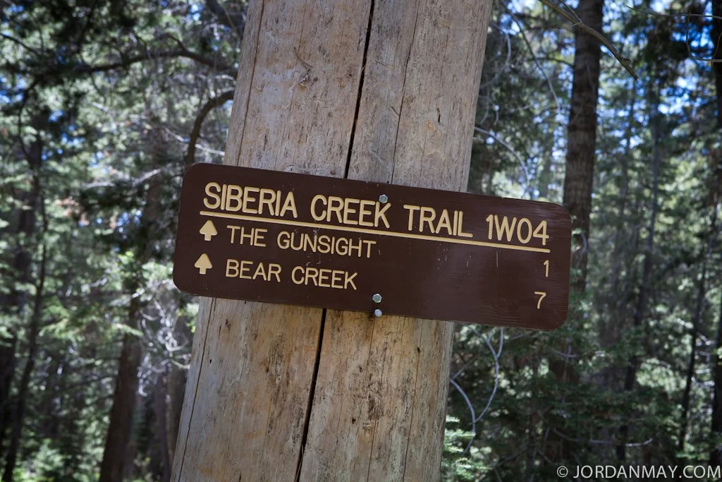
As you make your way to the end of Champion Lodgepole Pine Trail, stay alert for the Siberia Creek Trail 1W04 signpost. After stopping to checkout the Champion, we headed towards Bear Creek. The trunk of this tree is enormous! I would have gone up and hugged the tree if it wasn't fenced off. I really wanted to, but rules are rules.
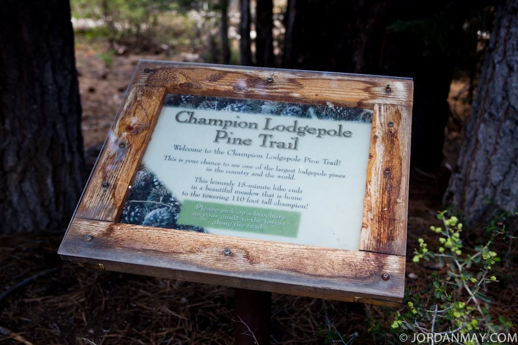
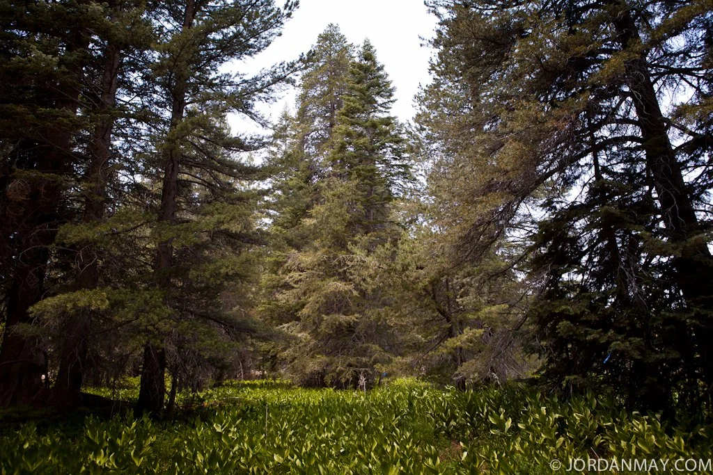
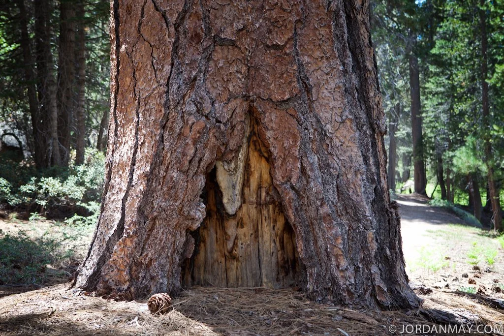
Less than a mile in, you will come to the Champion Lodgepole Pine Trail telling you all about the history of the worlds oldest living pine tree. The tree you are about to see below stands 110 feet tall and has been living for over 440 years. Respect. Think of all the fires we've had in this area over just our lifetime, this guy made it.
There he is in all his glory. Standing dead center, the trunk of the tree splits in two near the top, recognized by the blue sky peeking through the middle. Horrible views, right?
Jen knew all the great spots for snack breaks. Handy having a local with you on the trail.
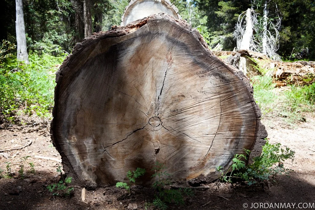
Now here is something you don't see everyday. You have certainly seen a cut down tree before, but how many dating back to the Civil War? Someone spent some serious time counting the age rings and wrote in various historic dates. We spotted, World War I, WWII and many more. Awesome! (I don't support graffiti but I do love history)
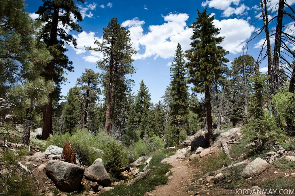
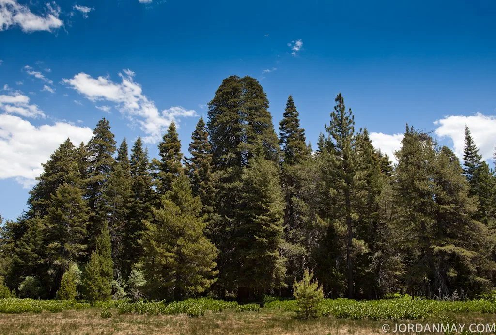
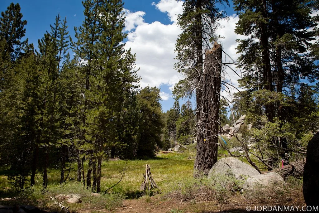
The entire trail is amazing to look at and relatively flat for the first mile. Don't forget you are hiking at 7,900 feet. Keep that in mind and plan ahead.

Although we knocked several times, we could not find any Keebler Elves at home. We could have really used come cookies.
If you have the time, I suggest visiting Bear Bear between May-August. The weather is at its peak and you’ll be in for a magical forest treat. Bring a camera.
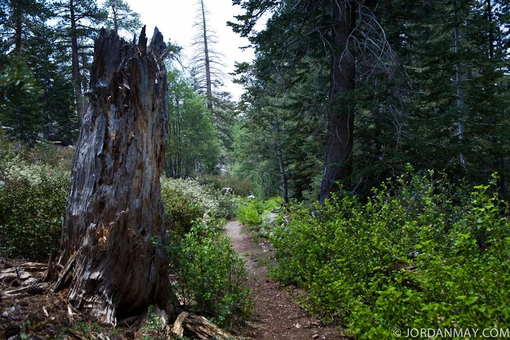
This sign reads, "Trail Not Maintained". From here on out please exercise caution and common sense when hiking. Honestly, you should be already. Up to this point, the trail would be great for cycling. I hate to admit it but I was too busy focusing on the trail to snap any photos ahead. A few miles past this sign you will reach Bear Creek. The trail becomes very loose and rocky, as well as dropping in elevation quite a bit. We continued on for about a mile before heading back for the day. My double-fail of the day was not turning my Garmin GPS watch on until we started back for the car. Our return trip marked roughly 3.2 miles and 1733 feet of elevation gain. I would say total roundtrip elevation would be around the 2500 mark.
We had a great day on the mountain and I look forward to heading back and hiking all the way to Bear Creek. Next time, my watch will be turned on and I won't leave my hiking poles in the car. Plan for a good 3-4 hours of hiking and bring plenty of hydration and food if you go.
Directions from Fawnskin/Big Bear Lake, CA: Travel west on Highway 18 and turn east on Hwy. 38. From there you turn right (south) onto Mill Creek Road (Forest Road 2N10). Follow Mill Creek Road for 4.5 miles and turn right (east) onto 2N11 and continue for 1 mile to the trailhead.
I hope you enjoyed out hike. Stay safe out there and plan ahead with water, food, some sort of communication device and first aid supplies. If you are traveling solo, please let someone know where you are going and when you should be expected to return. Better safe than sorry.