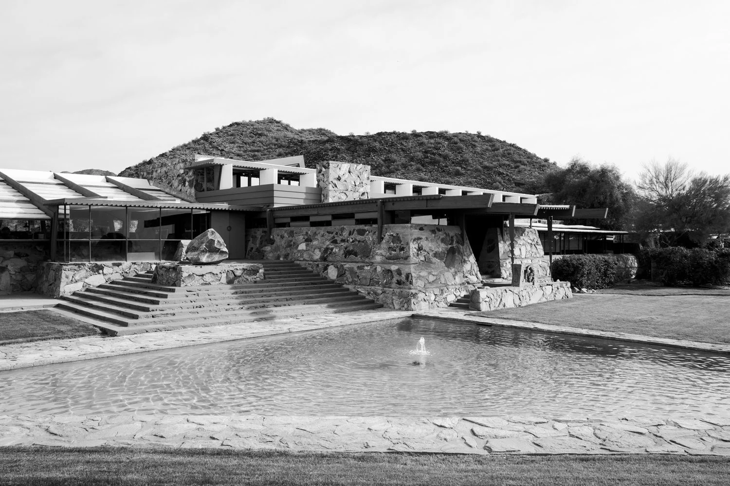
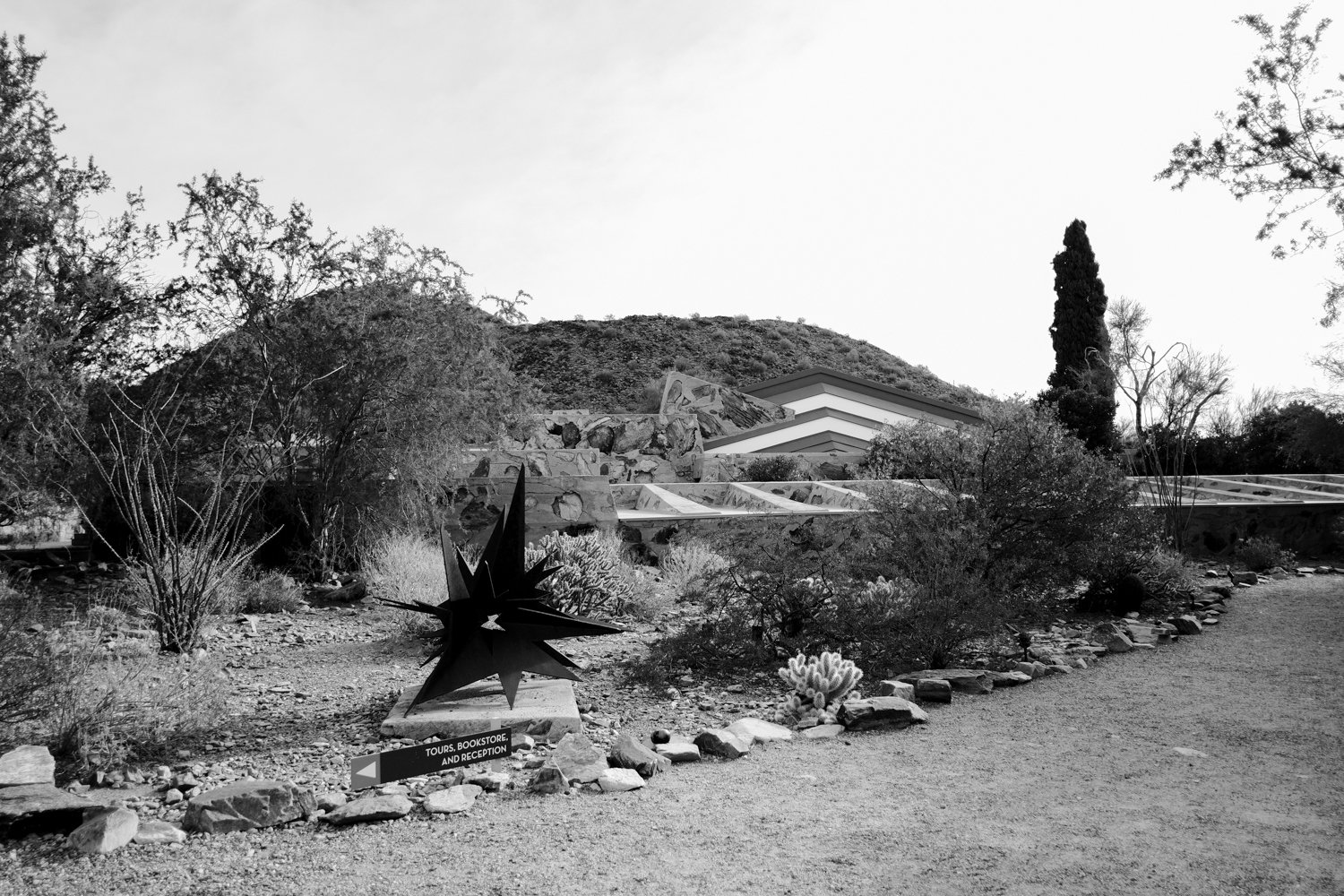
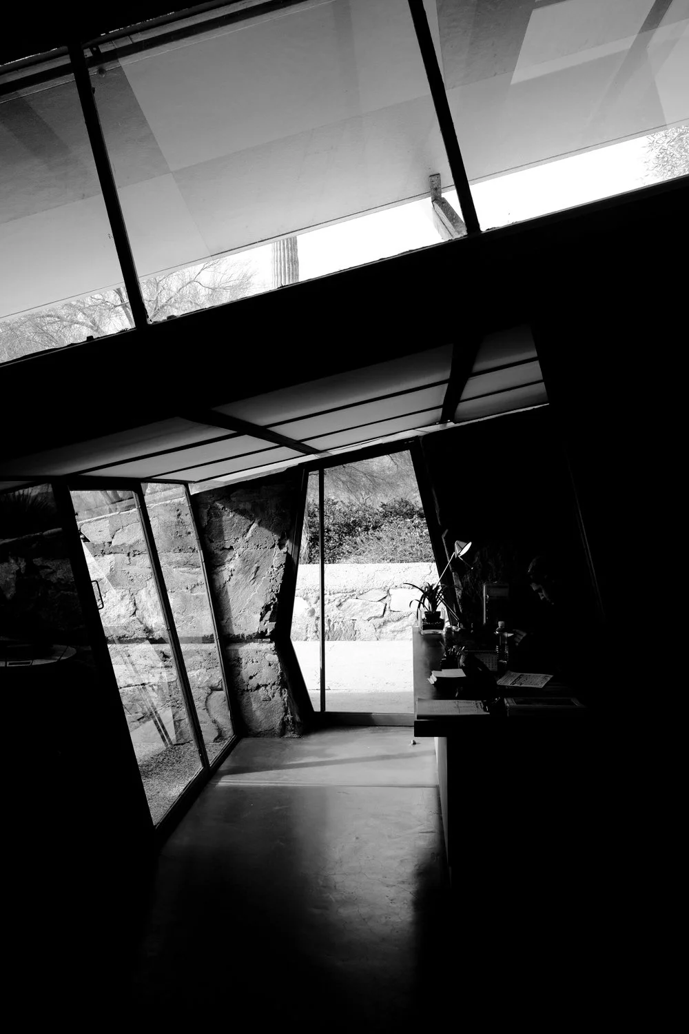
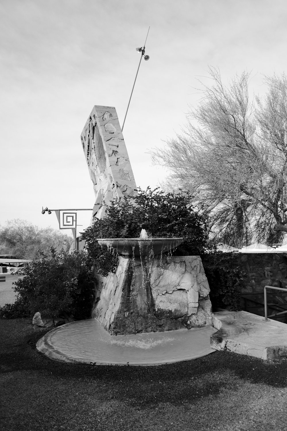
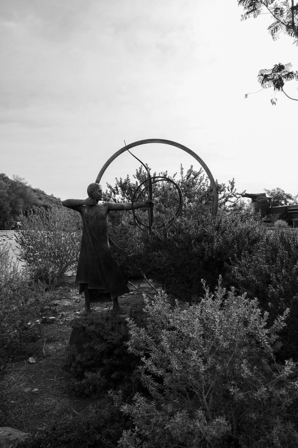
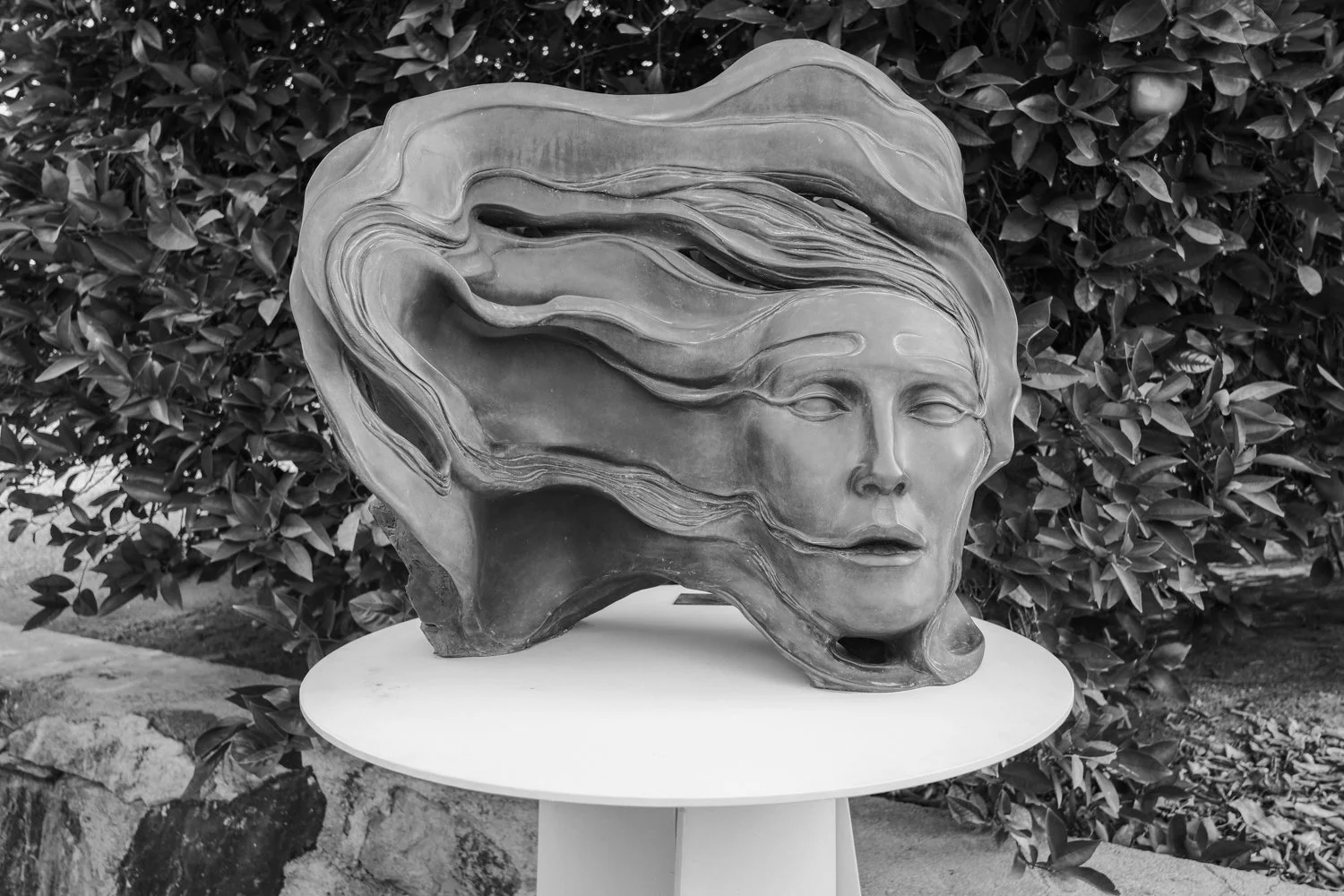
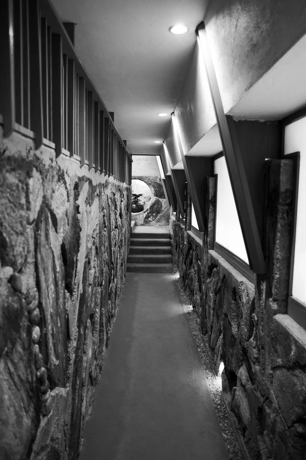
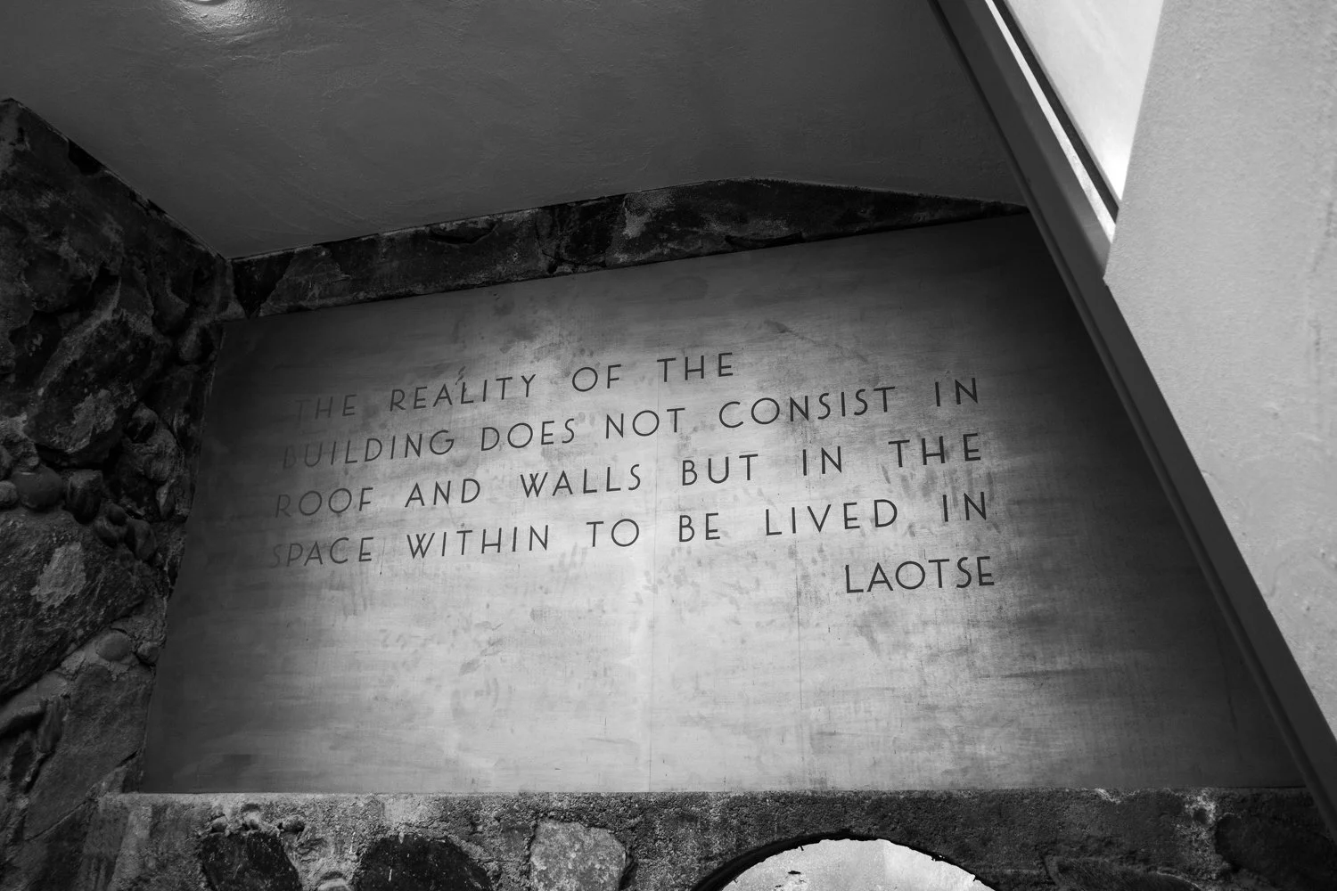
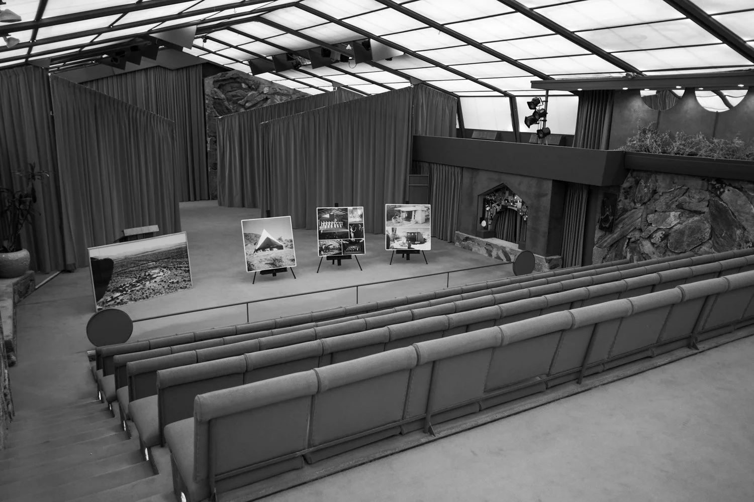
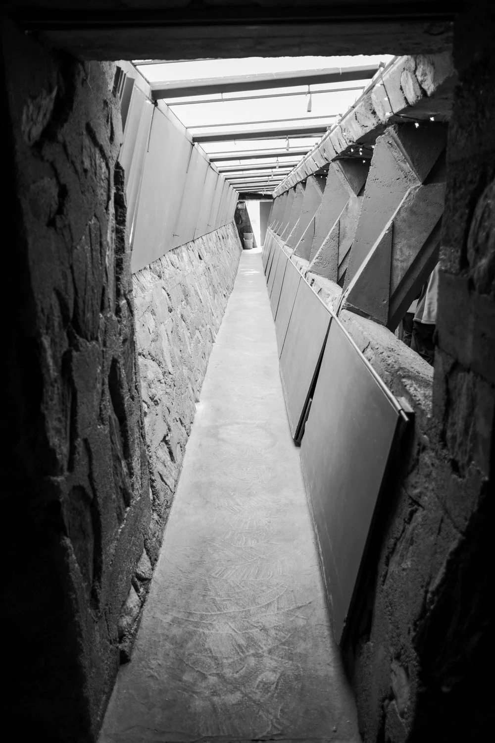
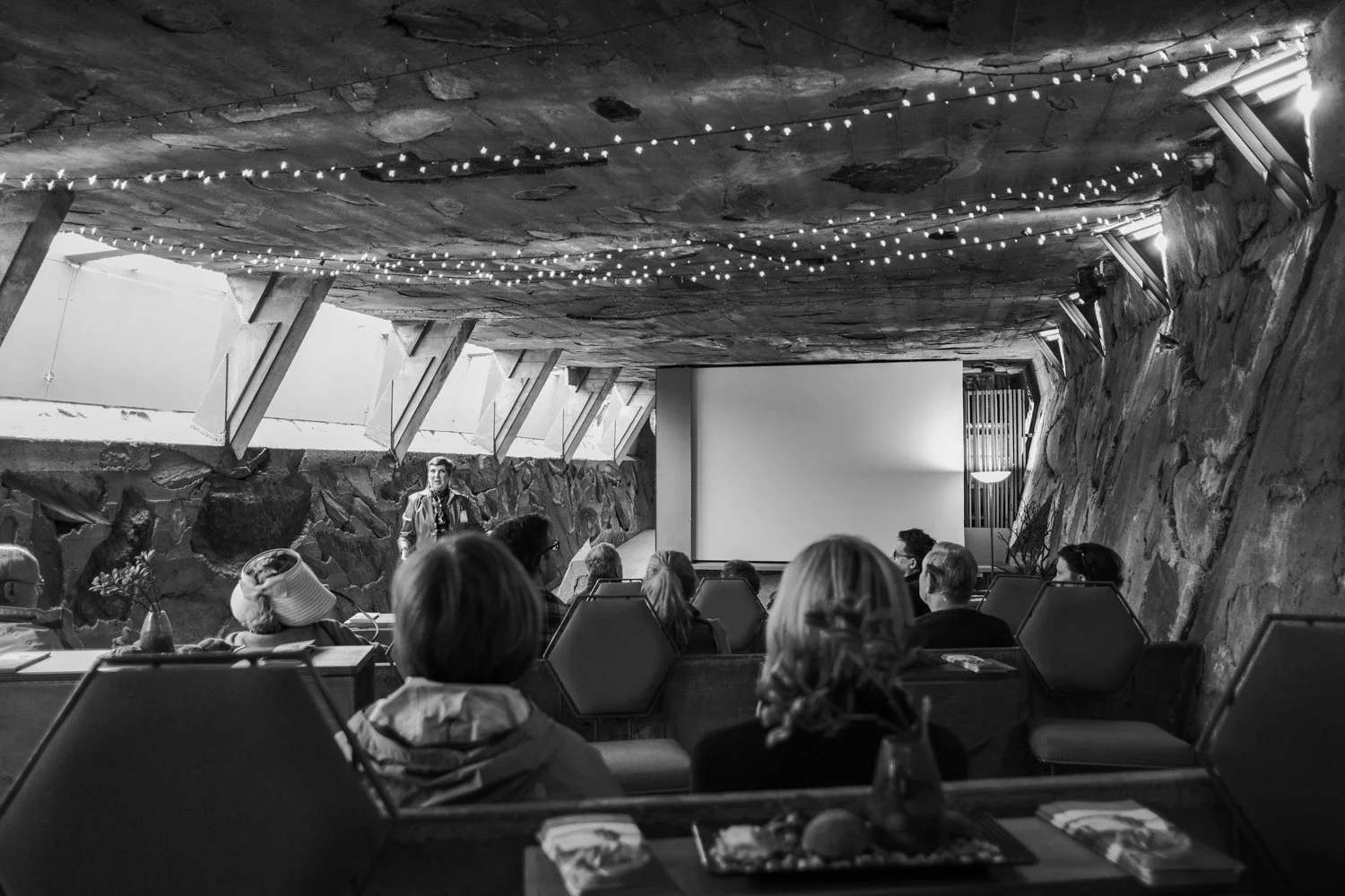
Taliesin West
Something you may not know about me is my love for Architecture. When it comes to admiring some of the best to ever do it, you cannot escape the name Frank Lloyd Wright. Located in Scottsdale, Arizona, Taliesin West began construction in 1937 as the creators winter home. To say that the man created a deep connection with the desert landscape would be speaking lightly. Everything on the grounds seems to sprout from the ground itself. There’s a sort of magic in the air here.
Taliesin West is now a UNESCO World Heritage Site and a National Historic Landmark. It is also home to The School of Architecture at Taliesin. If you decide to take the guided tour, which I highly recommend, you will learn all about the grounds history, construction, fires on the property, and the active school grounds. Please be courteous of the volunteers and the students you may run into while visiting.
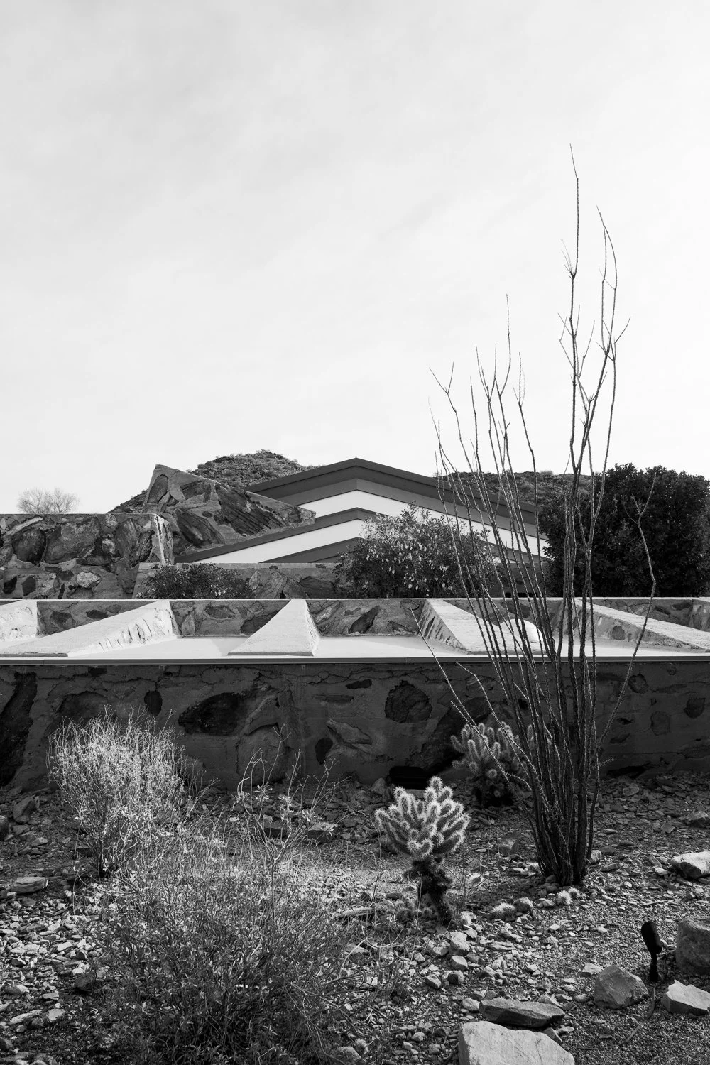
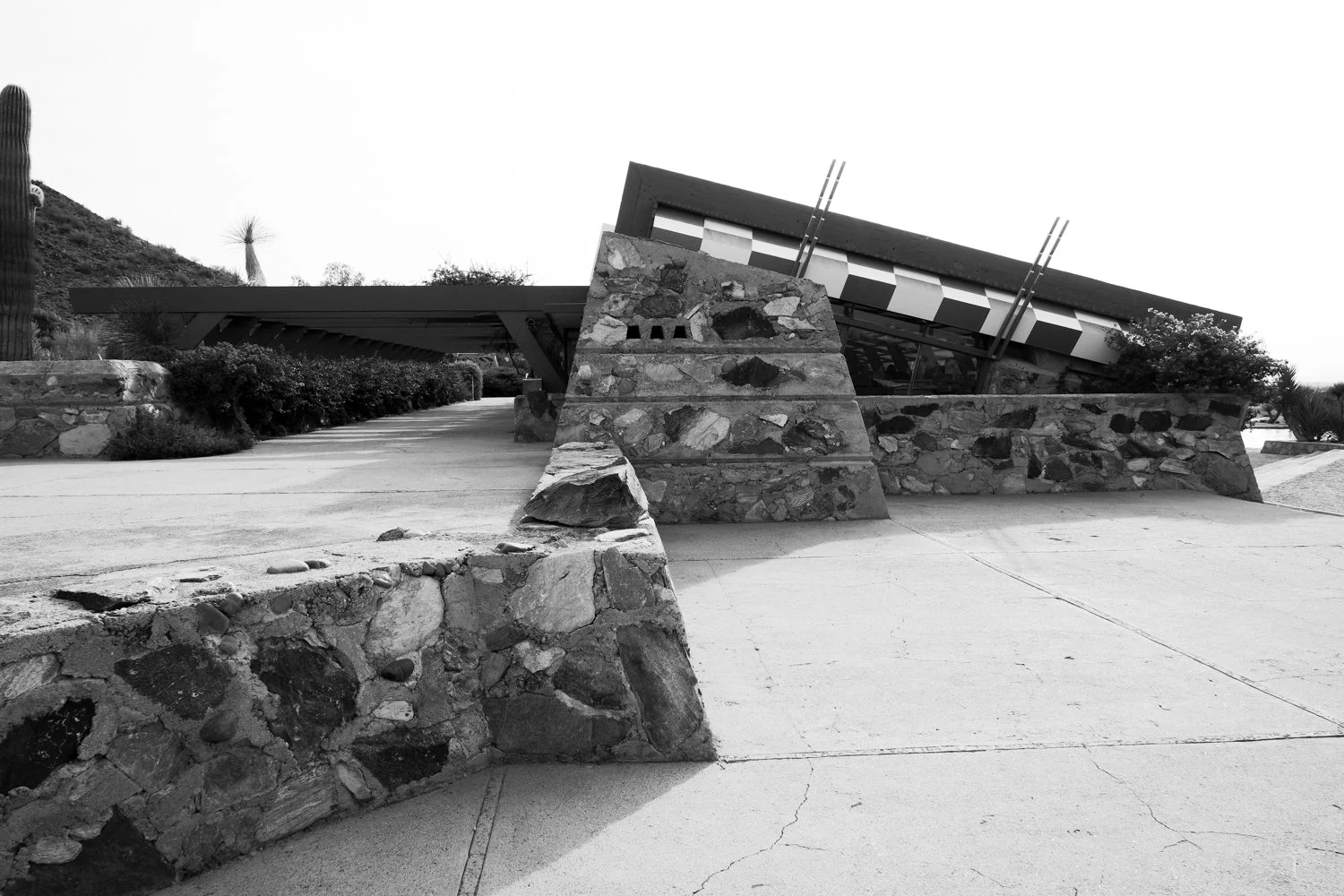
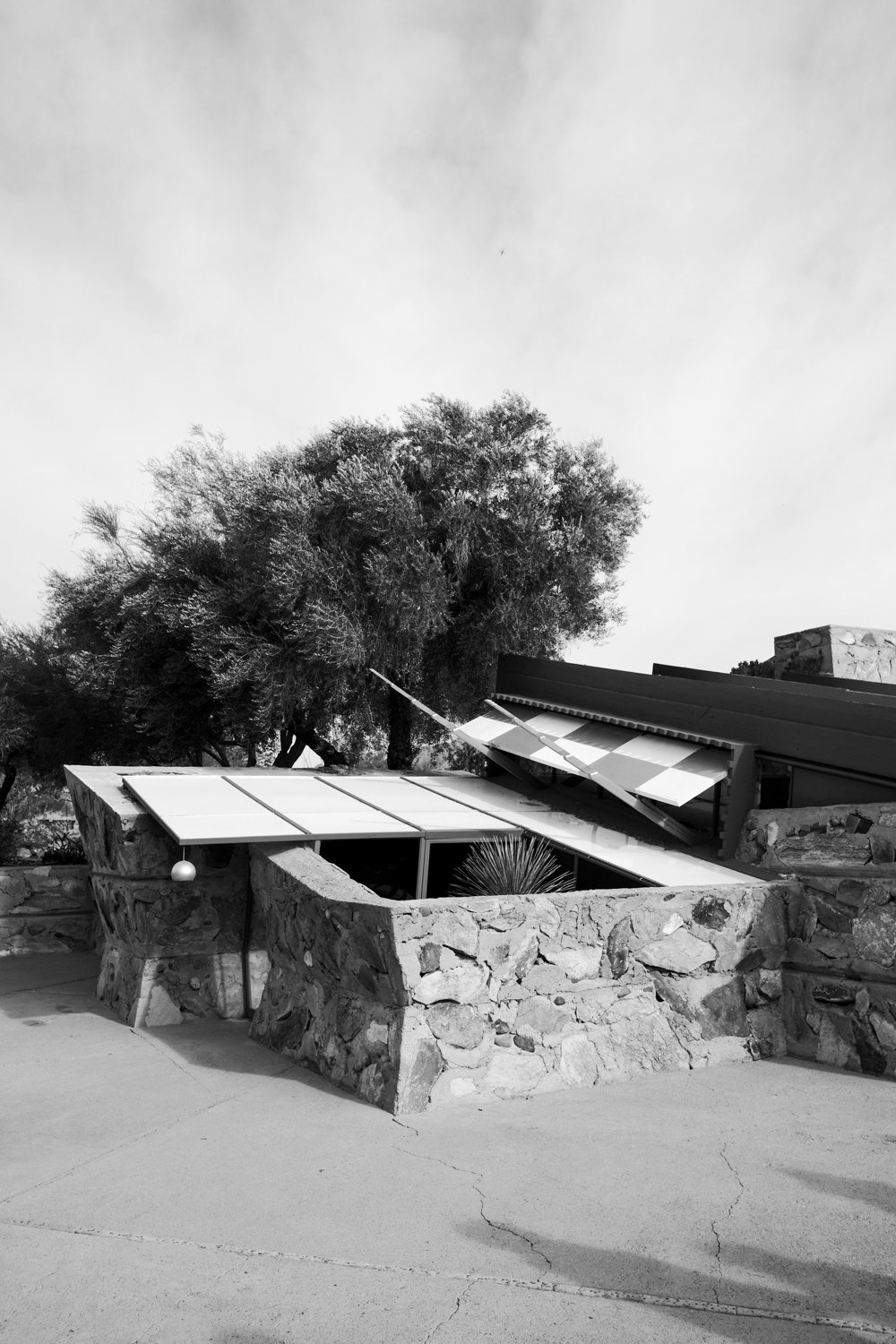
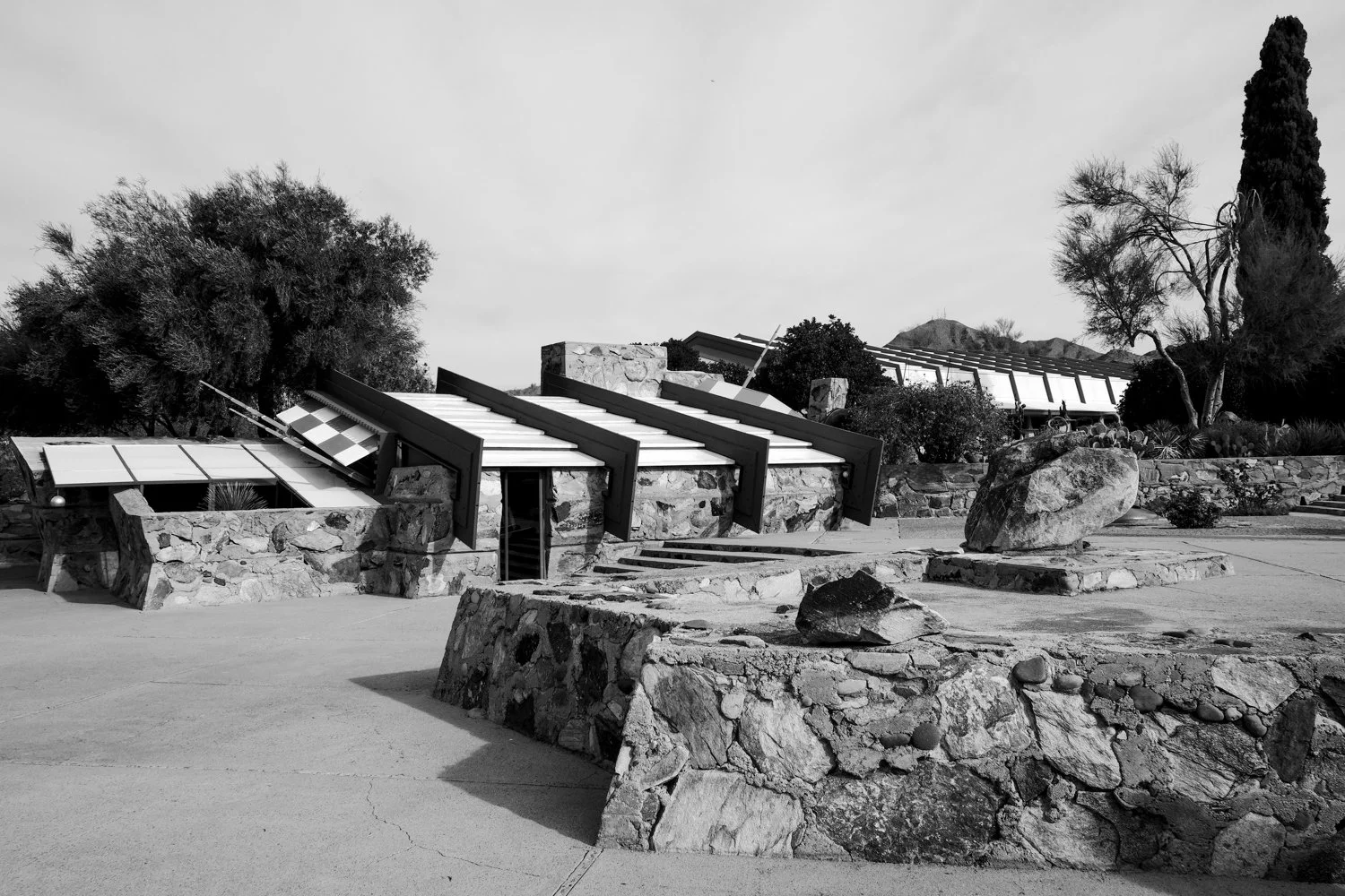
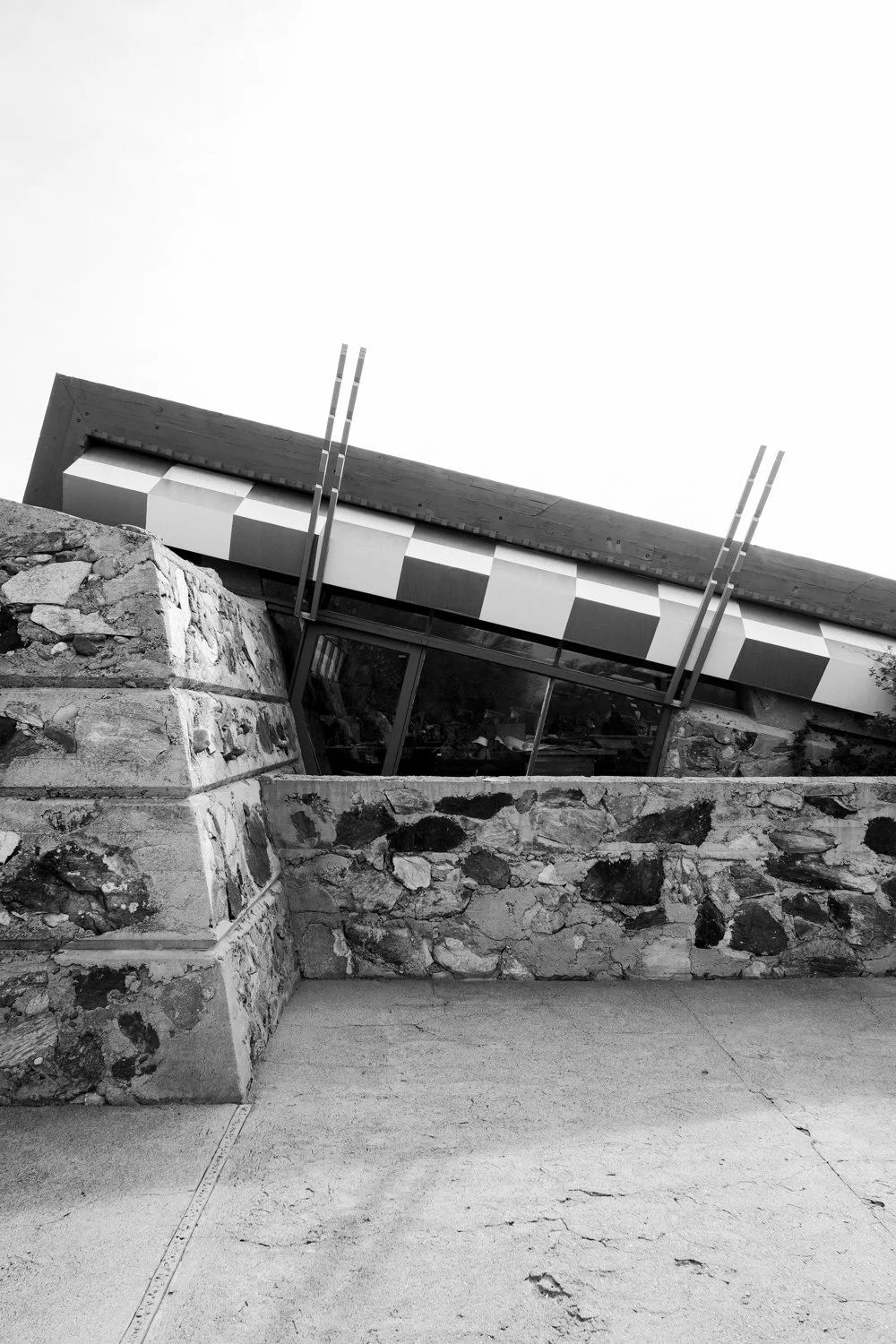
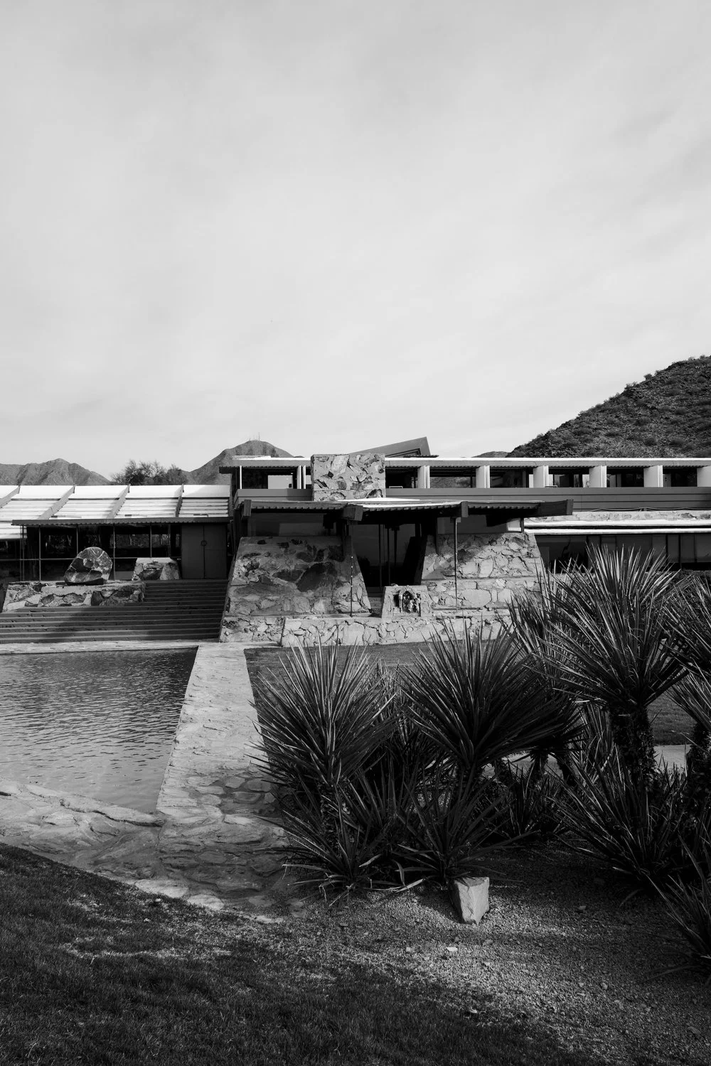
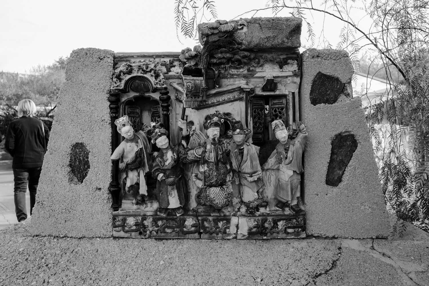
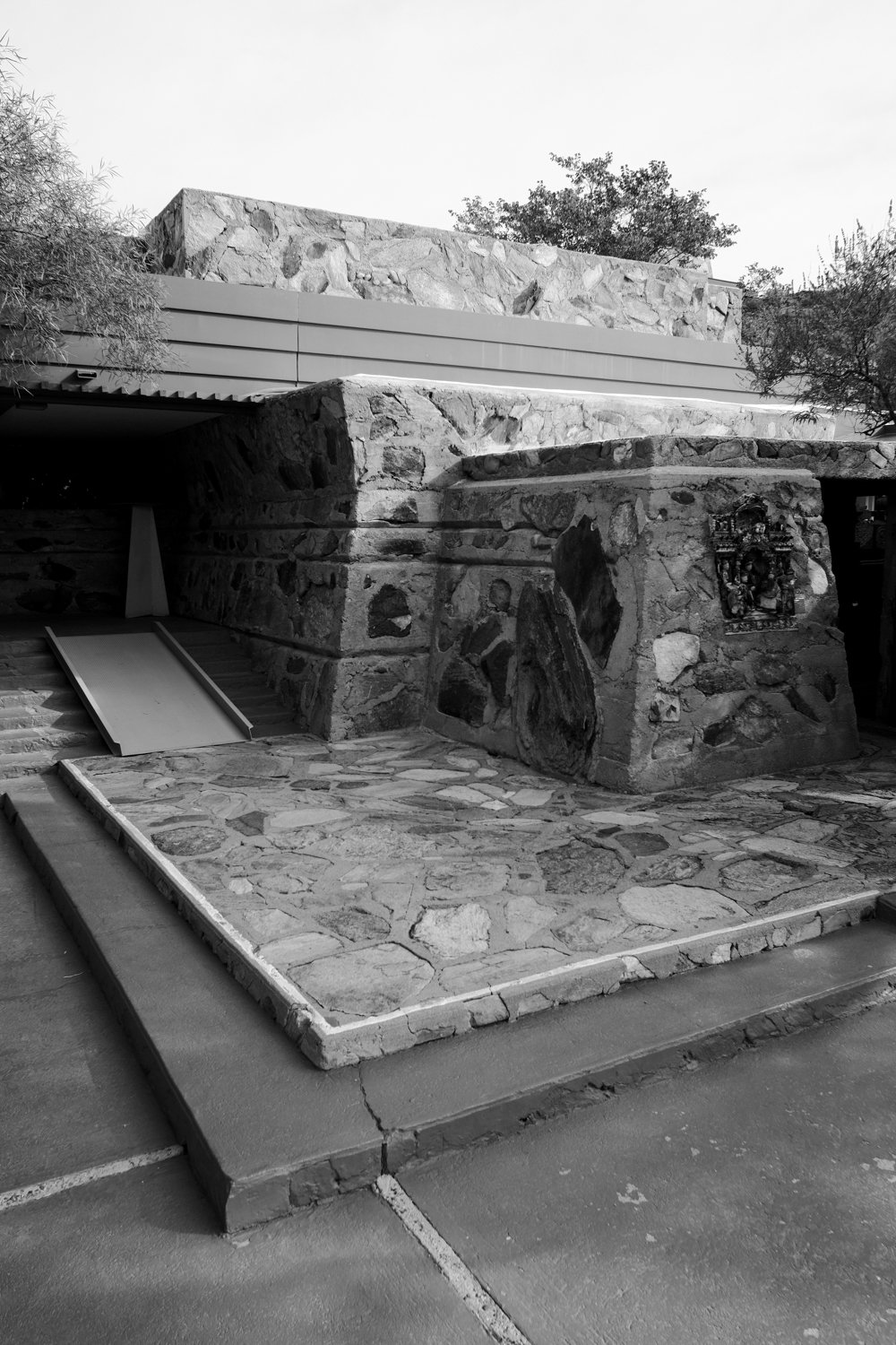
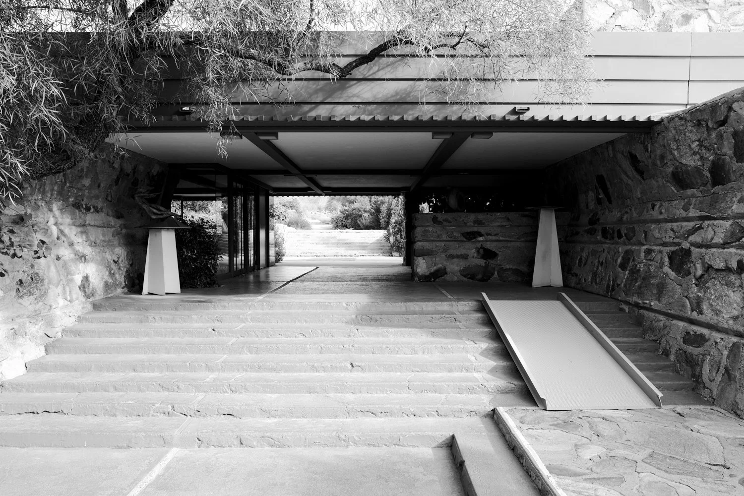

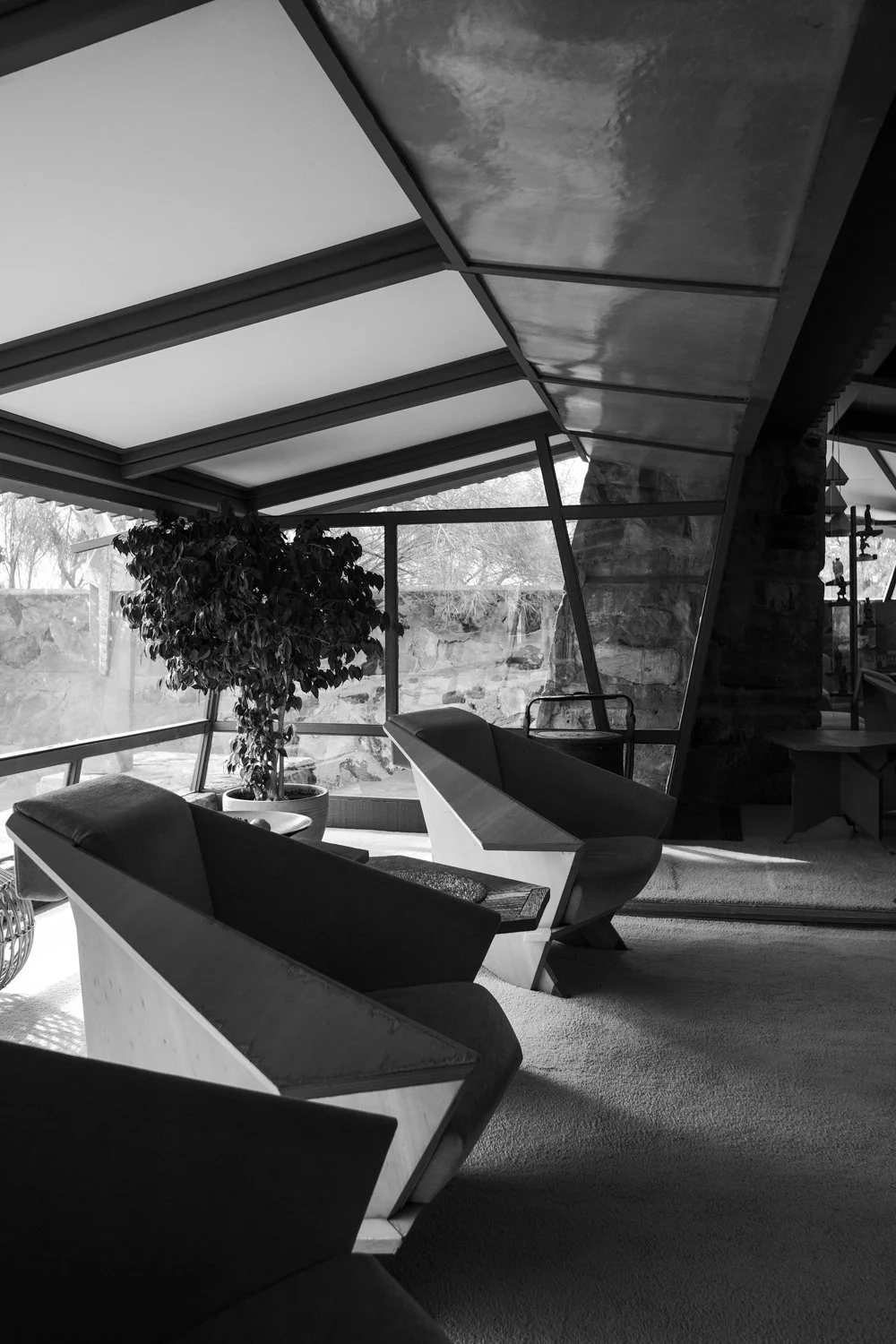
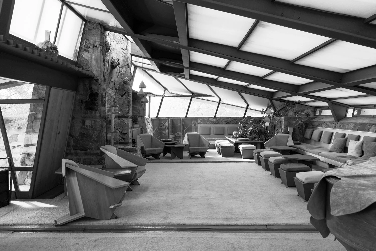
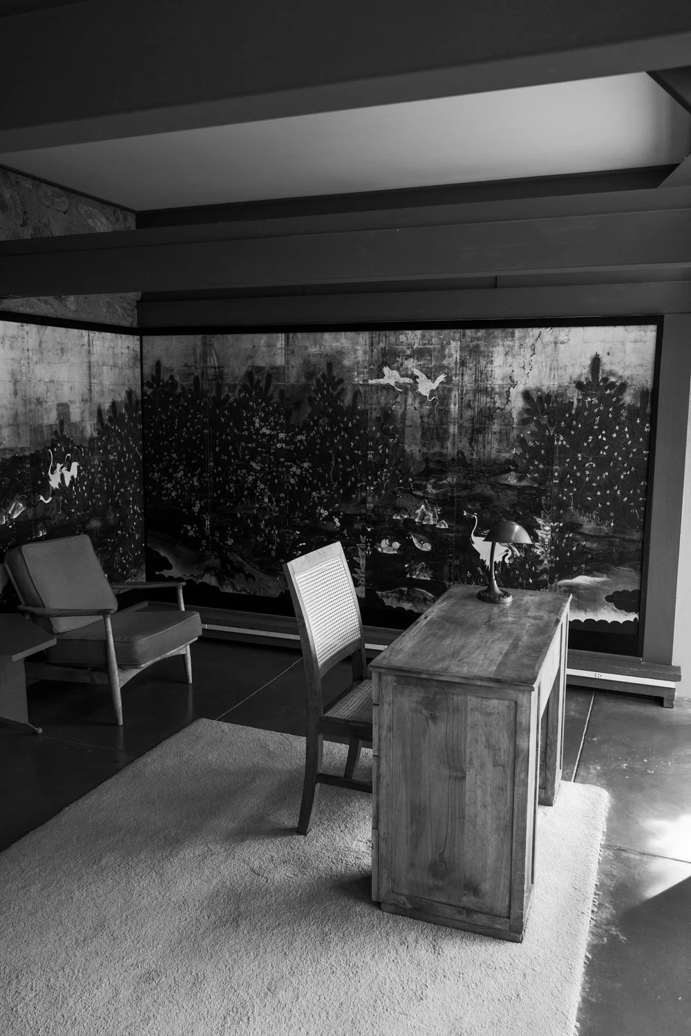
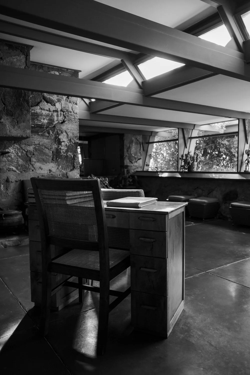
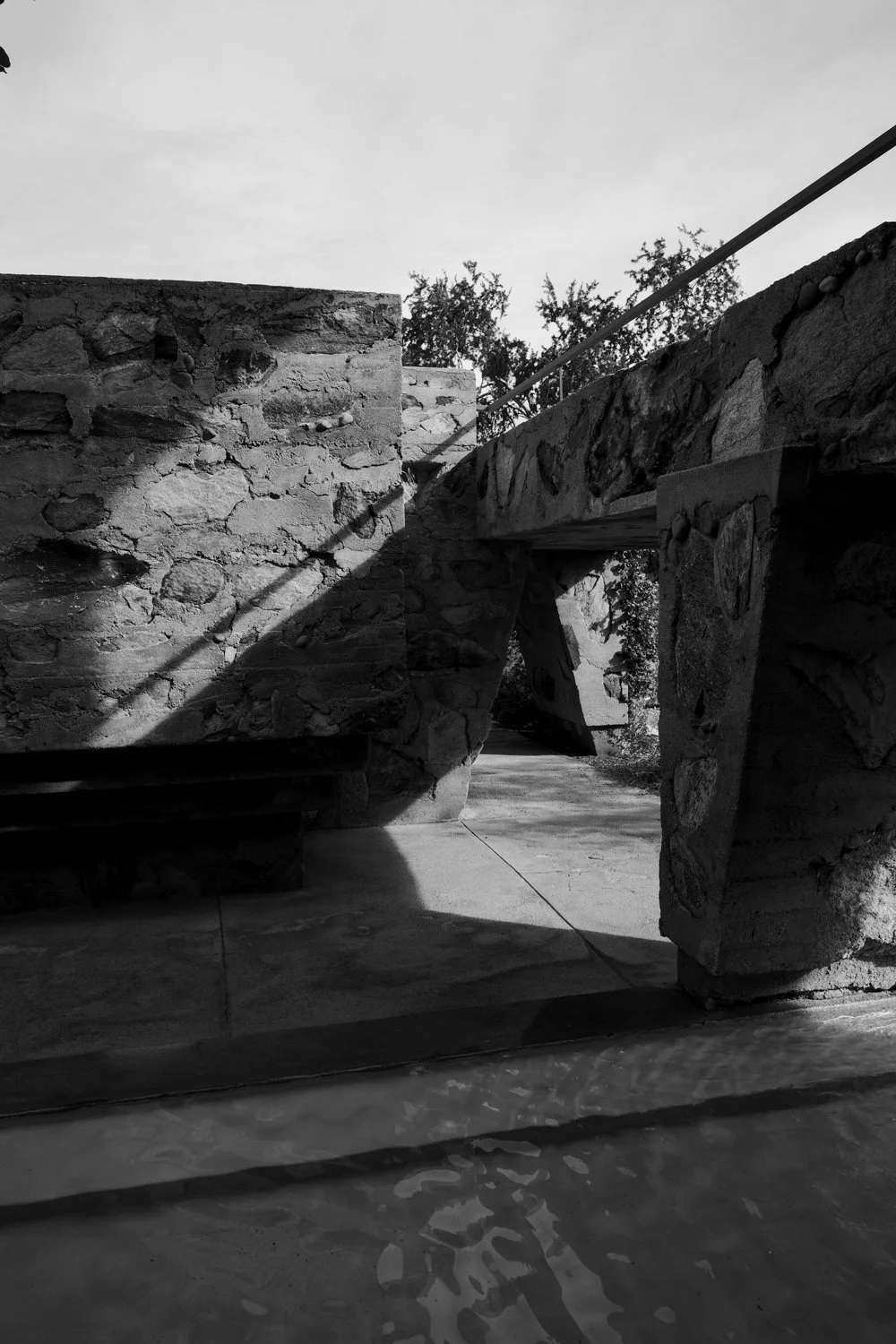
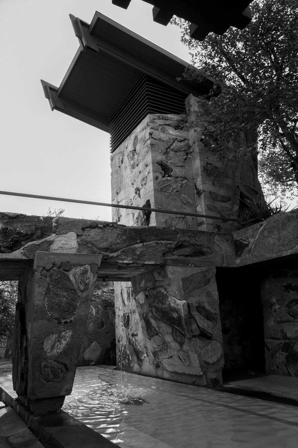
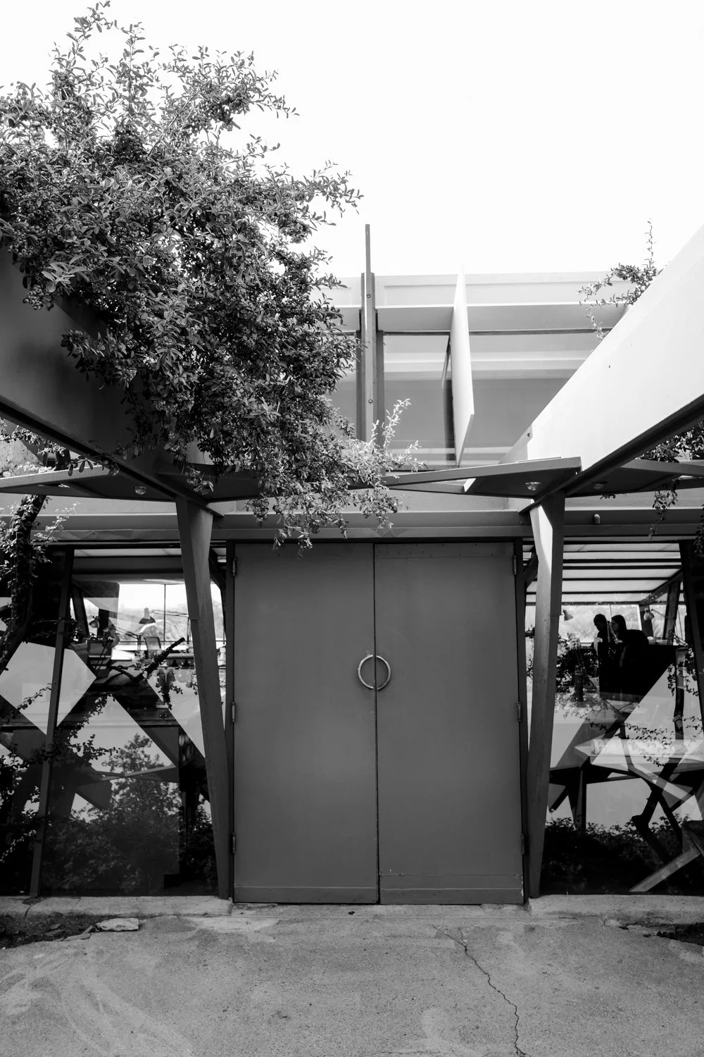

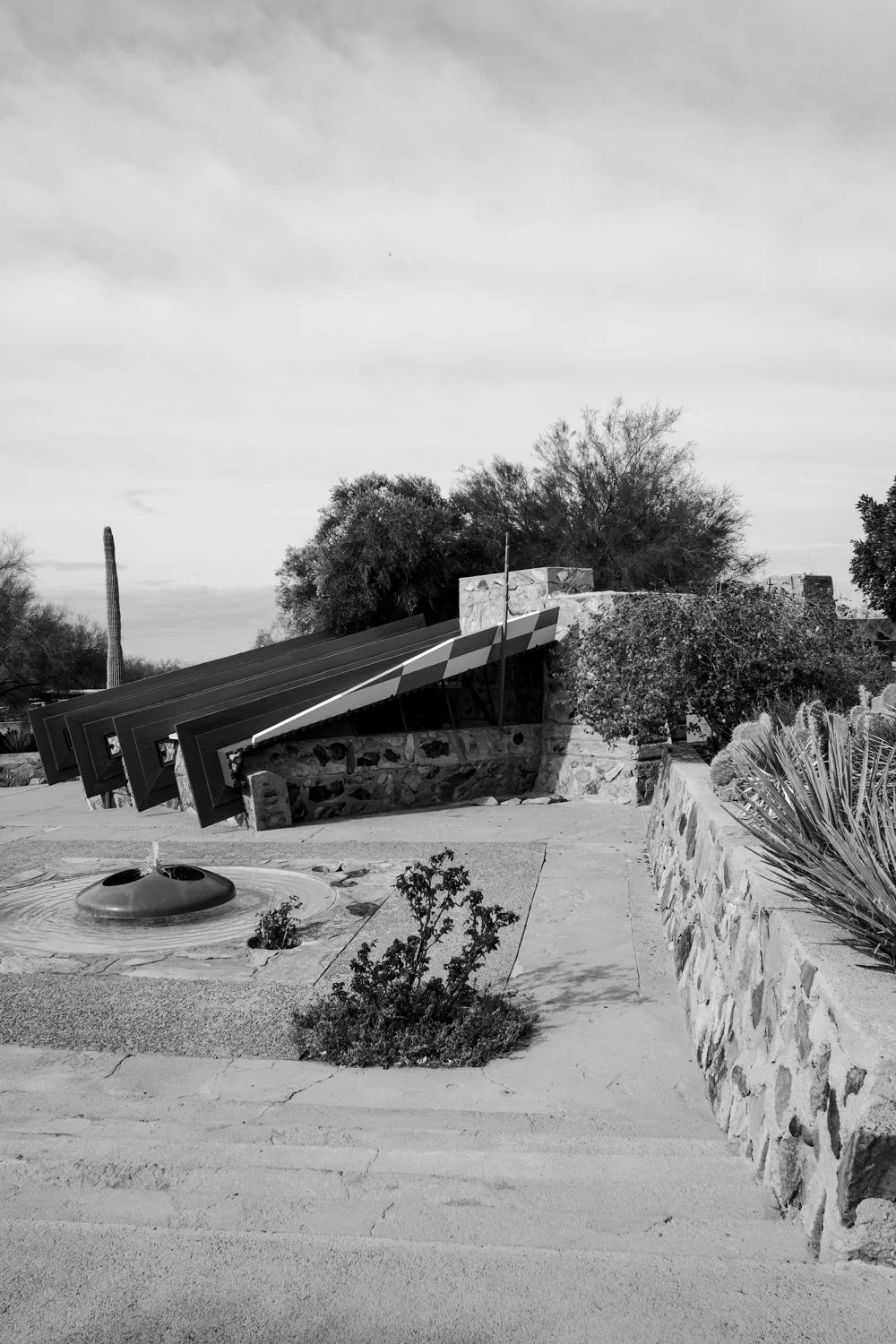
Camera: Fujifilm X-Pro2, 18mm f/2 lens.
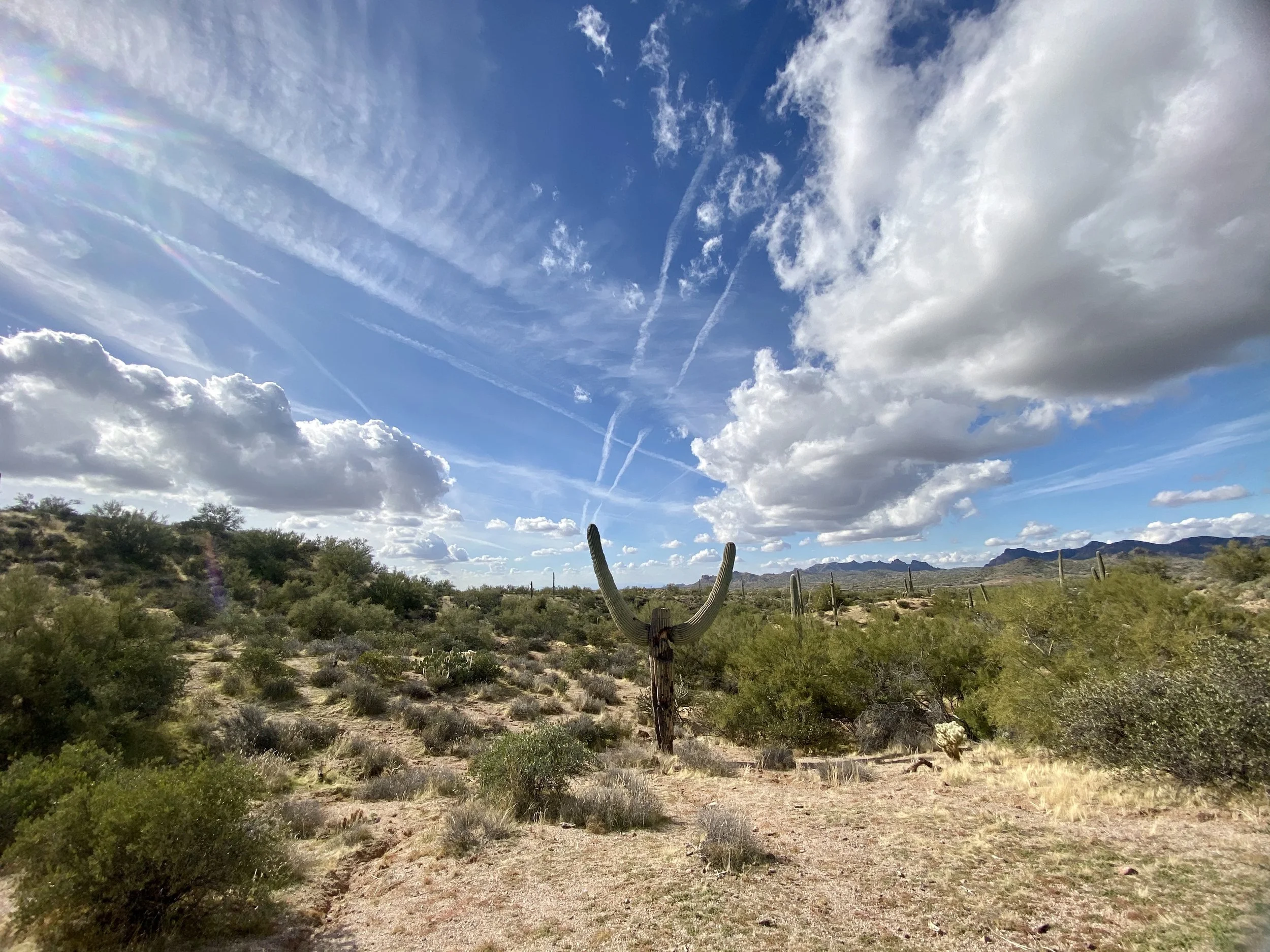
Massacre Falls Hike
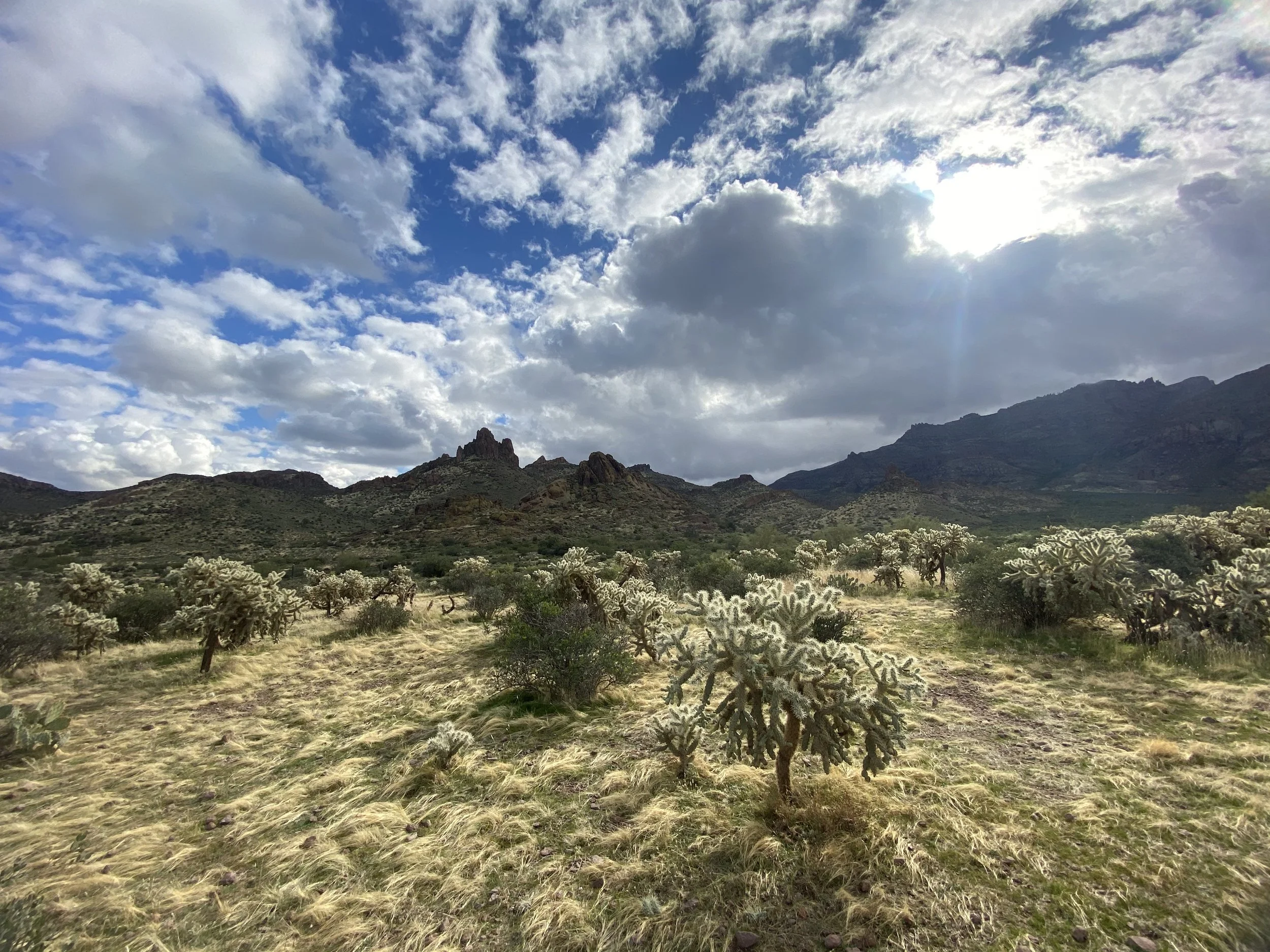
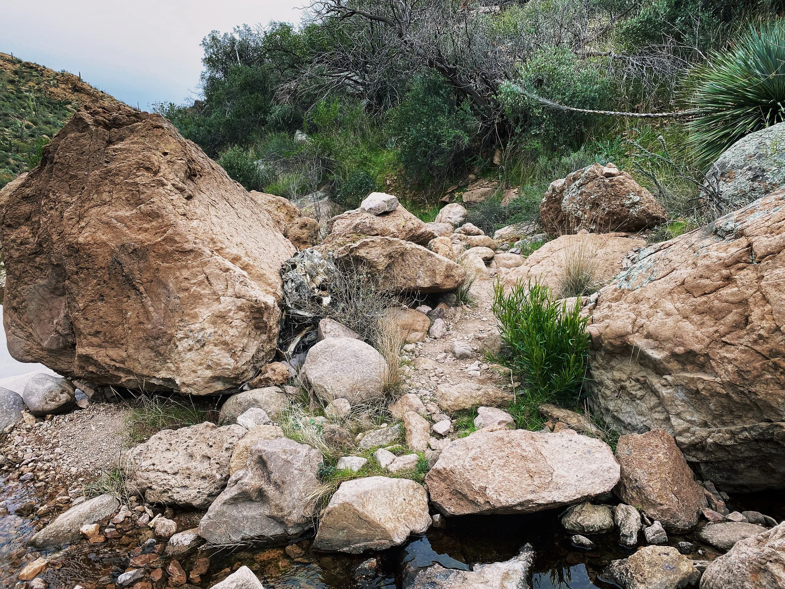
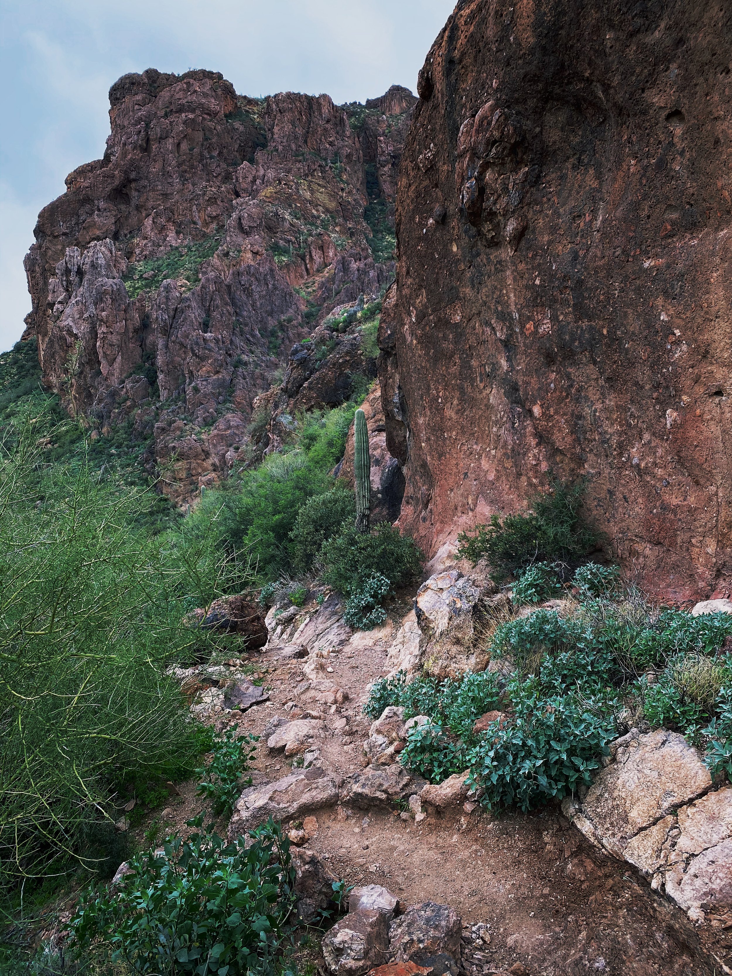
Where this trail gets its name is a bit of a mystery. Prior to the Mexican-American War of 1846, this area was part of Mexico. Among the families that once lived in this area were the Peralta Family. If you are familiar with the Phoenix area of the state, you will recognize the name. Numerous trails, landmarks and shops share the namesake. Legend has it, after the war ended, the Mexican families in the area encountered Native American Tribes where what is now considered, Massacre Grounds. Some say the Native American Tribes drove the Mexican families off local cliffs. Some say they simply drove them off the land and stole the Mexican gold. We may never know. One thing we do know, the area where the event I mentioned took place is not located on this trail system.
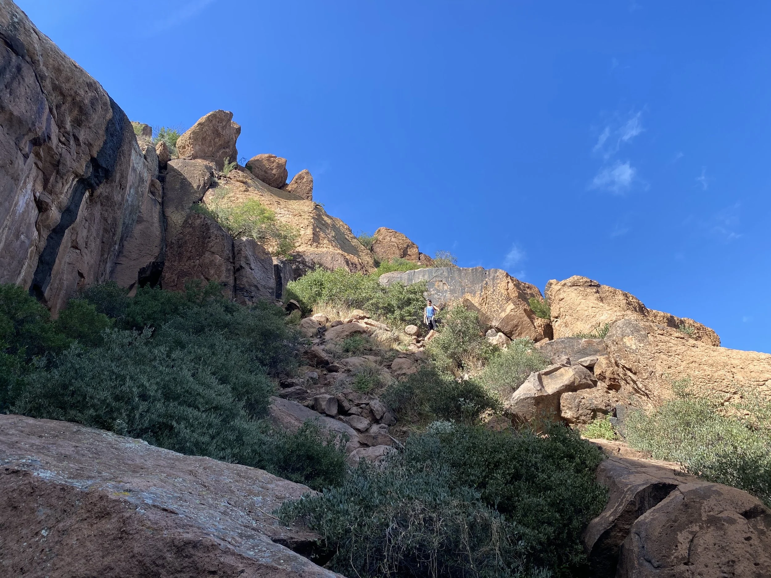
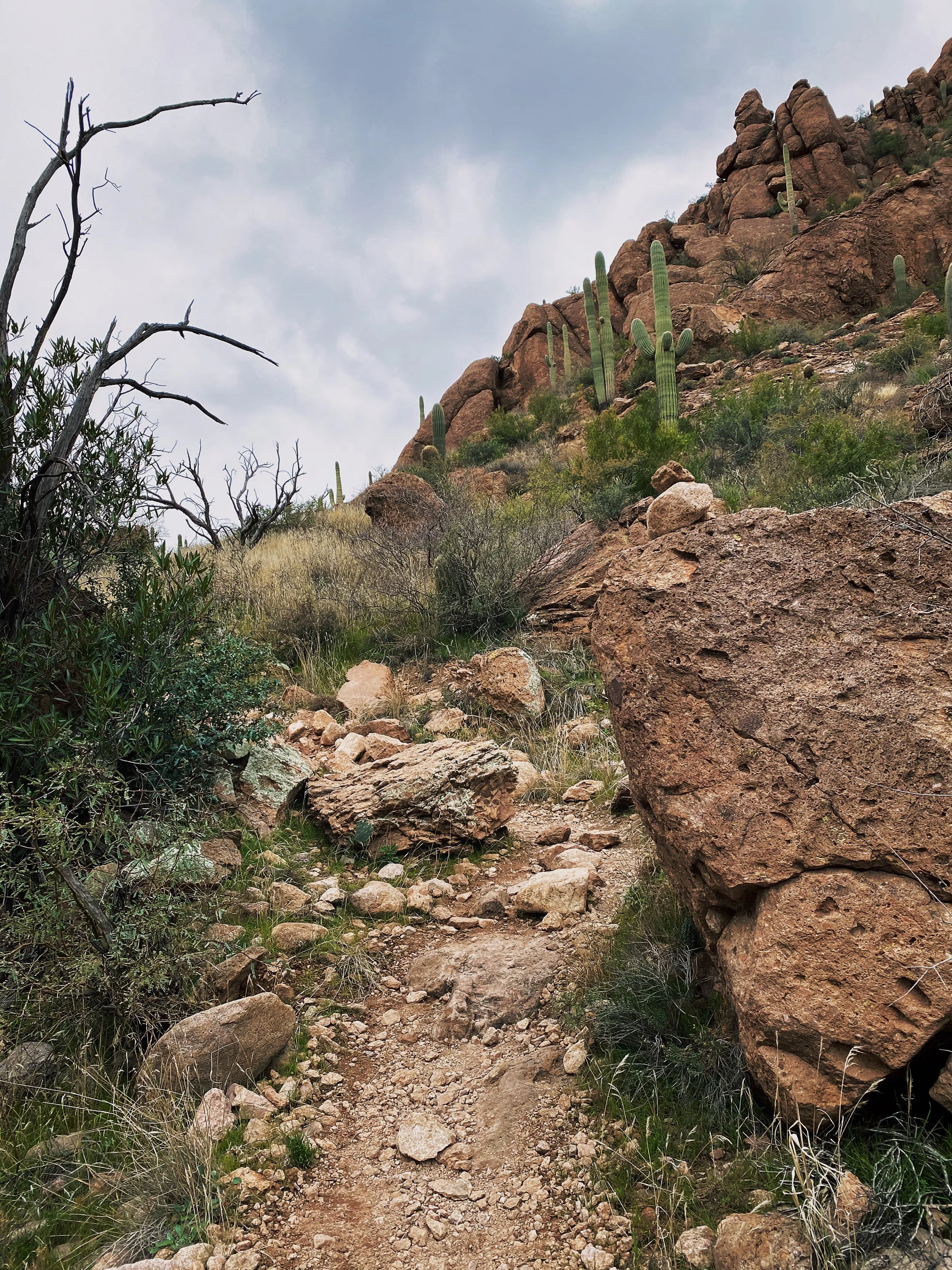
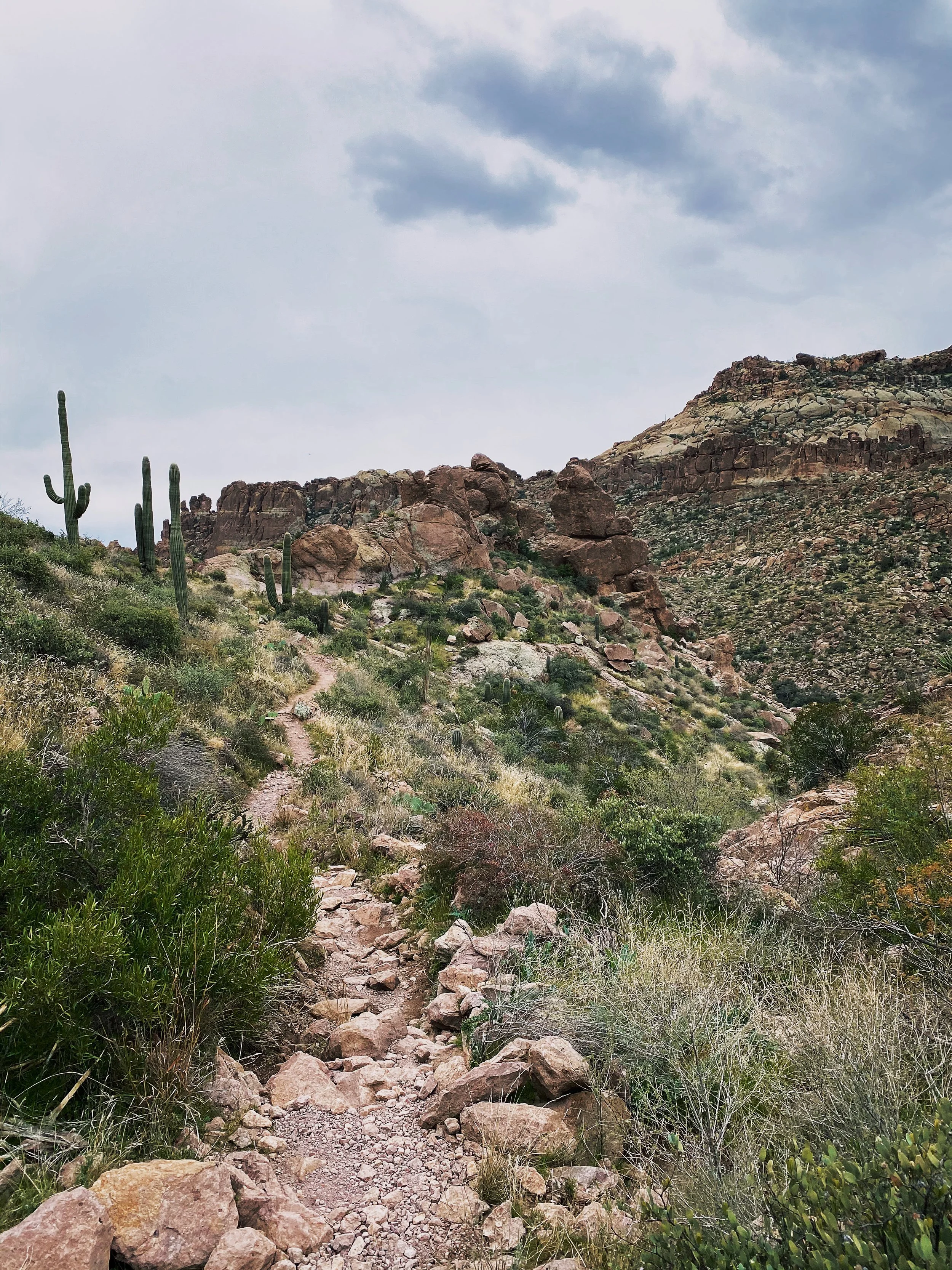
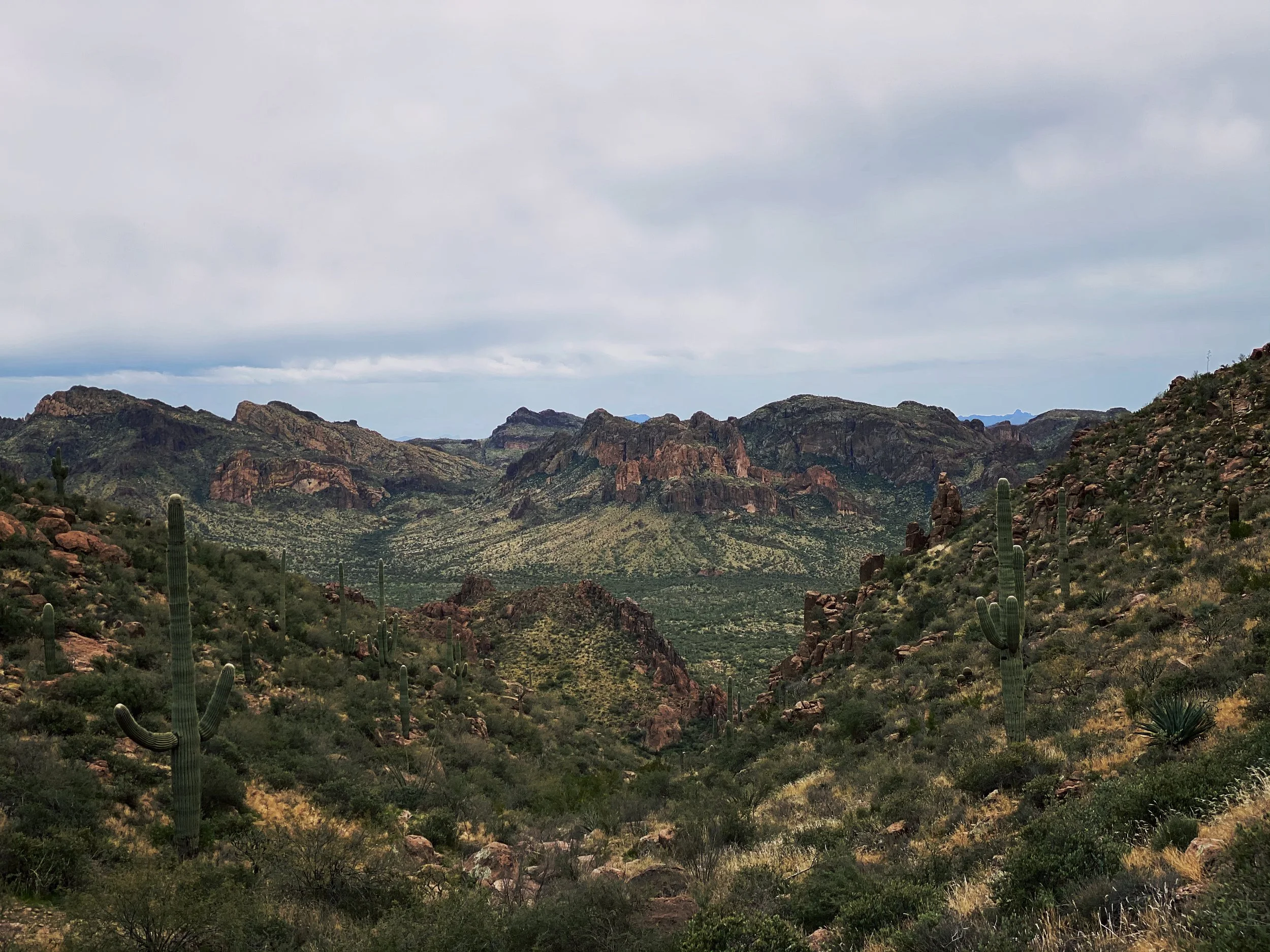
Aside from such a complex history, the trail sounded really good on paper. Navigating your way there is very easy as well as following a well-marked path. Much like every trail in this area, you will hike through sand, climb over some rock, dodge cactus and even scale up a few sharp rock faces. Nothing too advanced but take caution and wear good hiking boots.
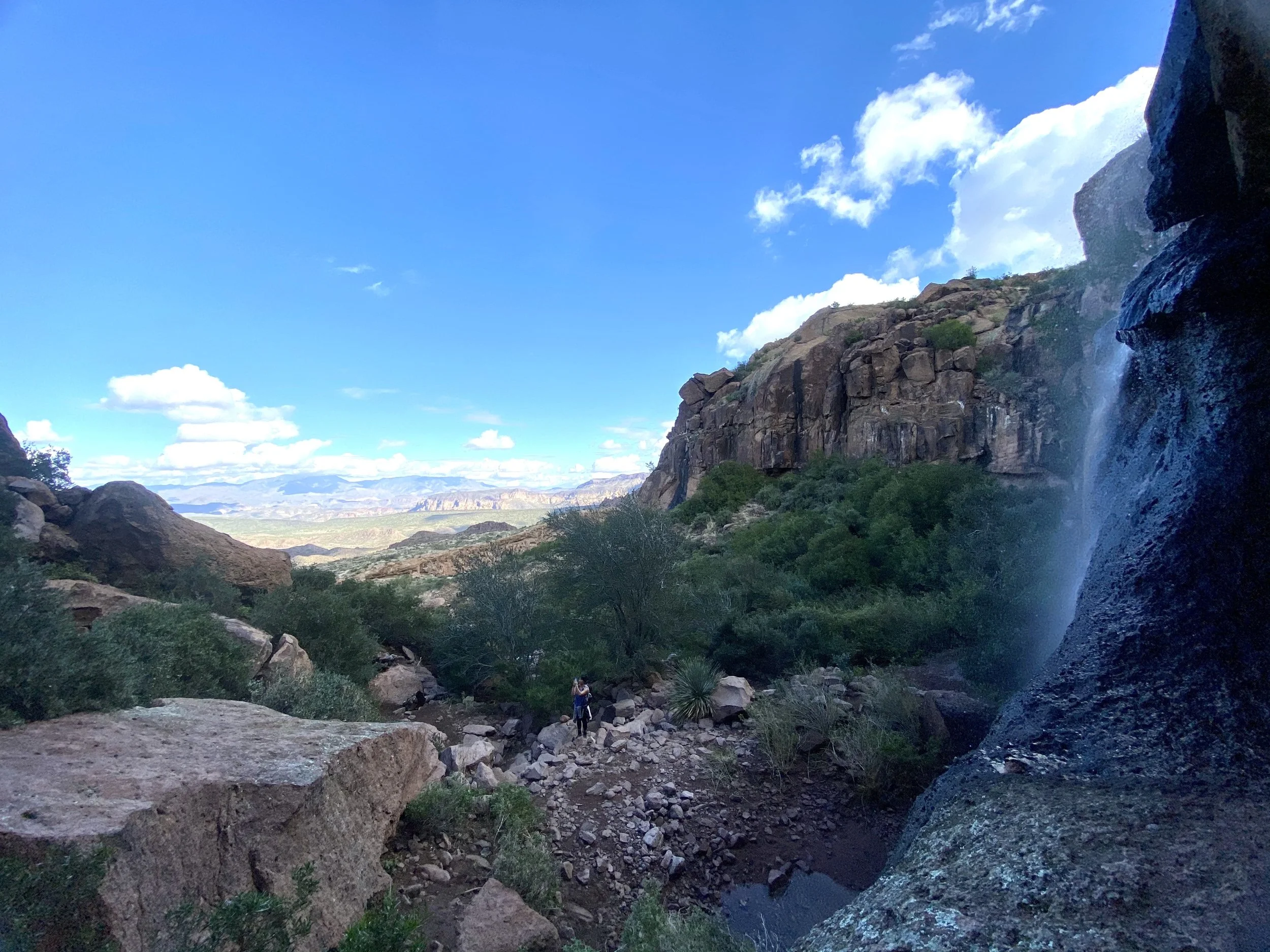
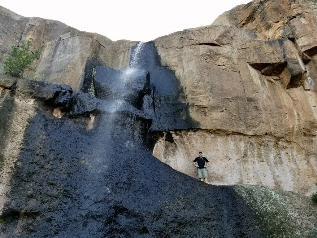
From the parking area to the falls, the trail is roughly 2.7 miles with 1,200 feet of elevation gain. Quickly after I started the hike, I met a new friend. She joined me all the way to the falls and back. I even snagged a picture of me at the falls. It’s pretty rare I get a photo of me doing stuff like this. I prefer being on the other side of the camera.
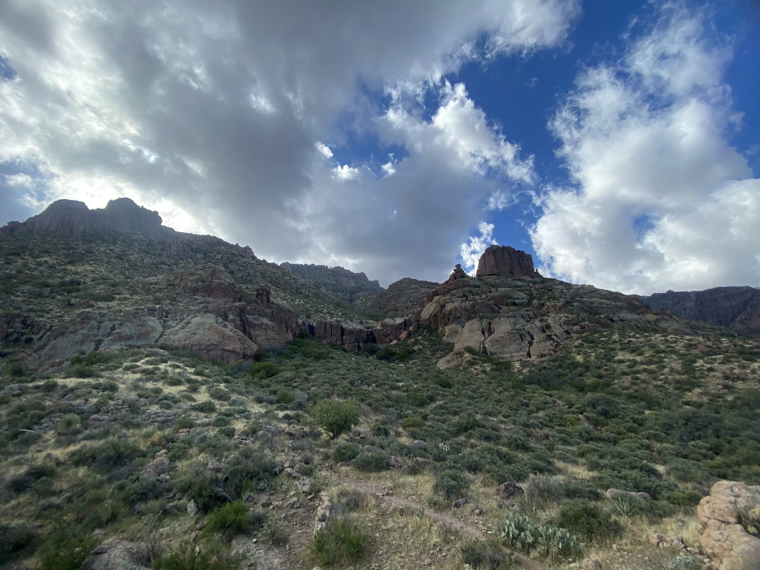
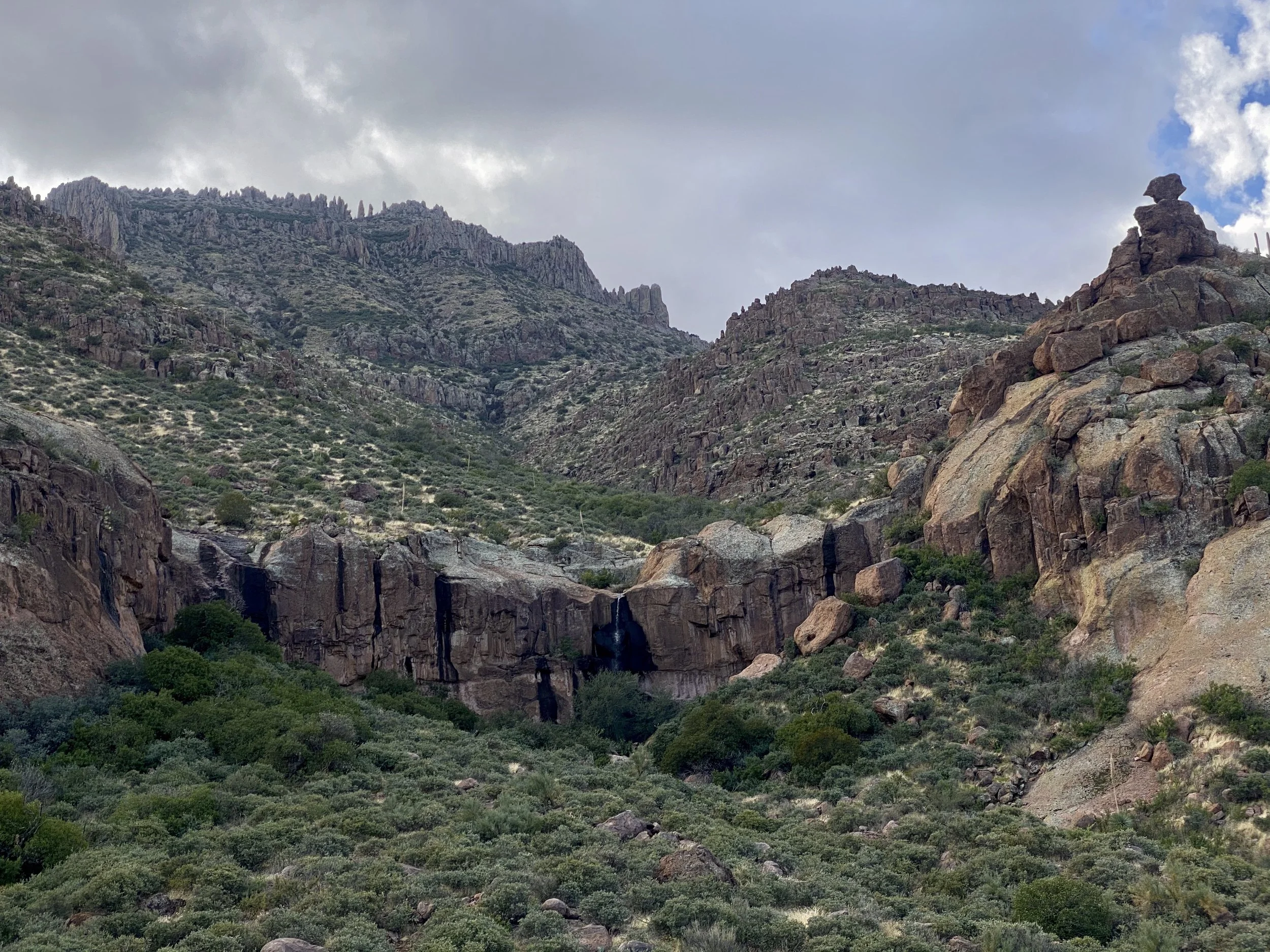
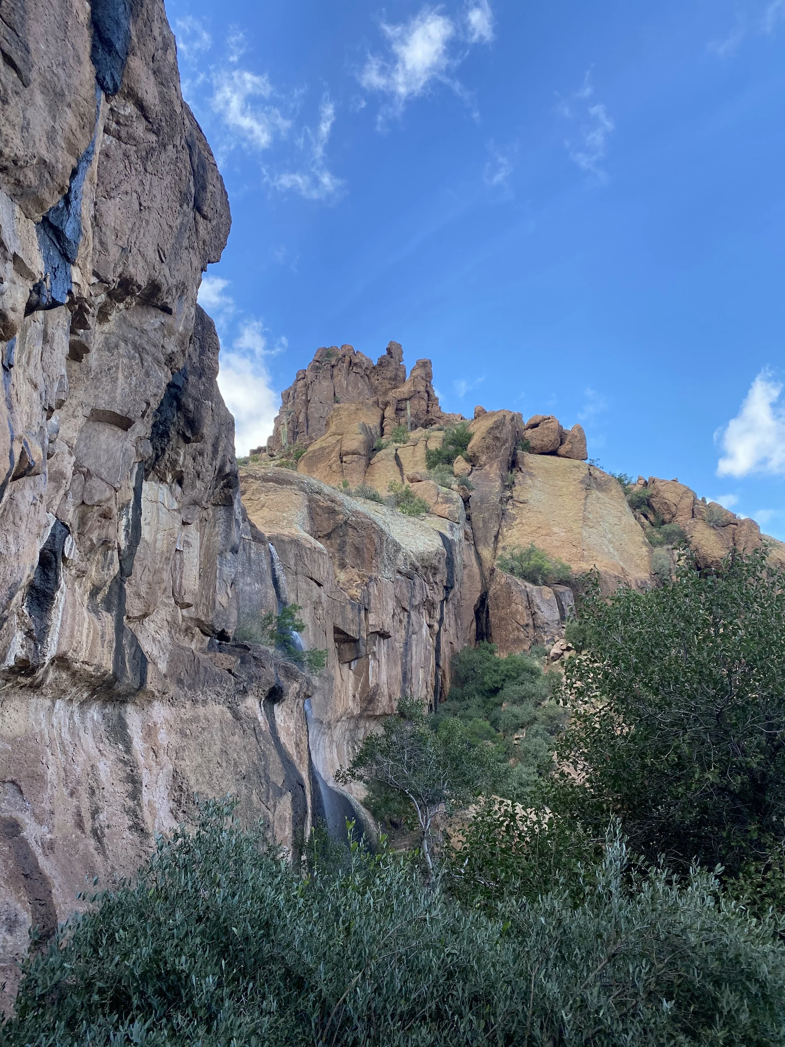
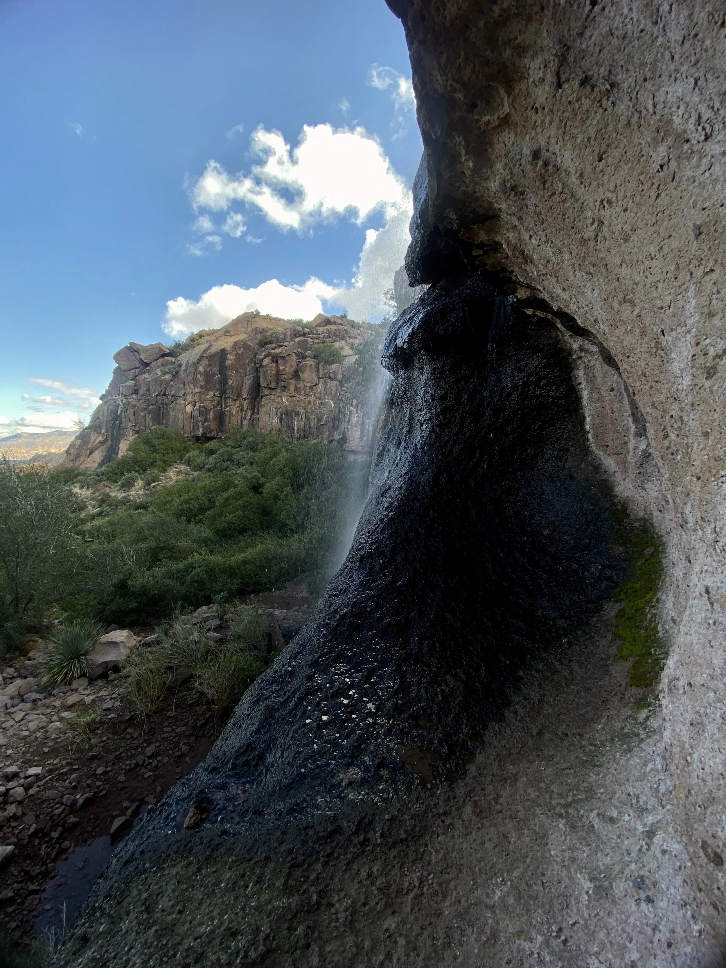
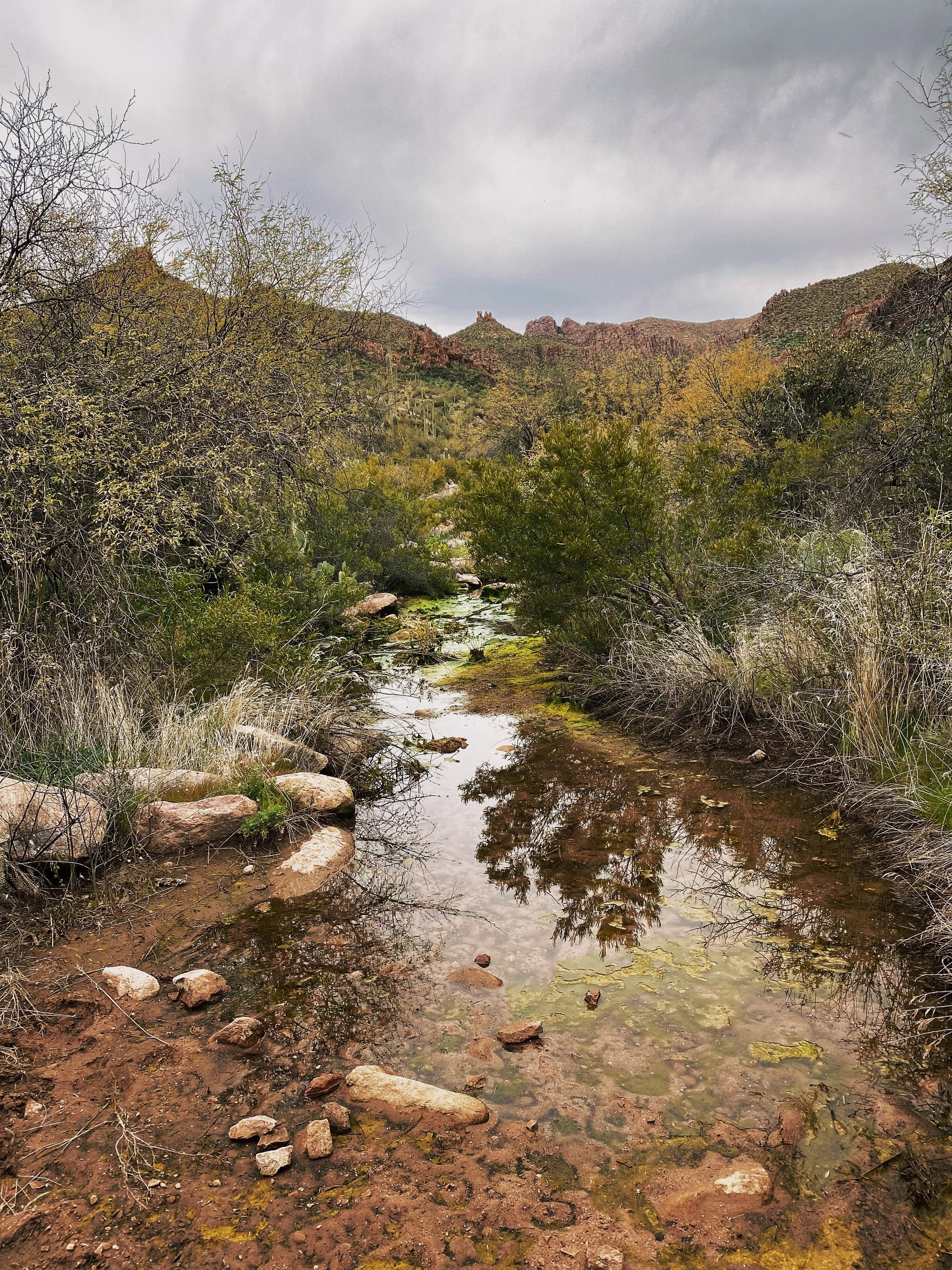
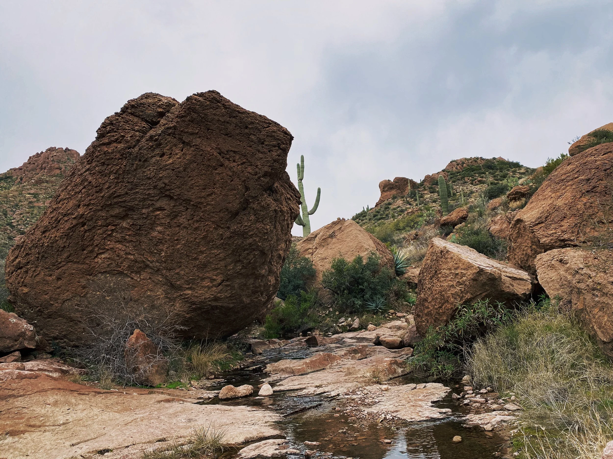
This area receives a good amount of rain which is why the waterfall is usually flowing. We didn’t have a ton of flow when we arrived but it was still a refreshing lunch break. I plan on coming back after a good rain to really see the falls flowing.
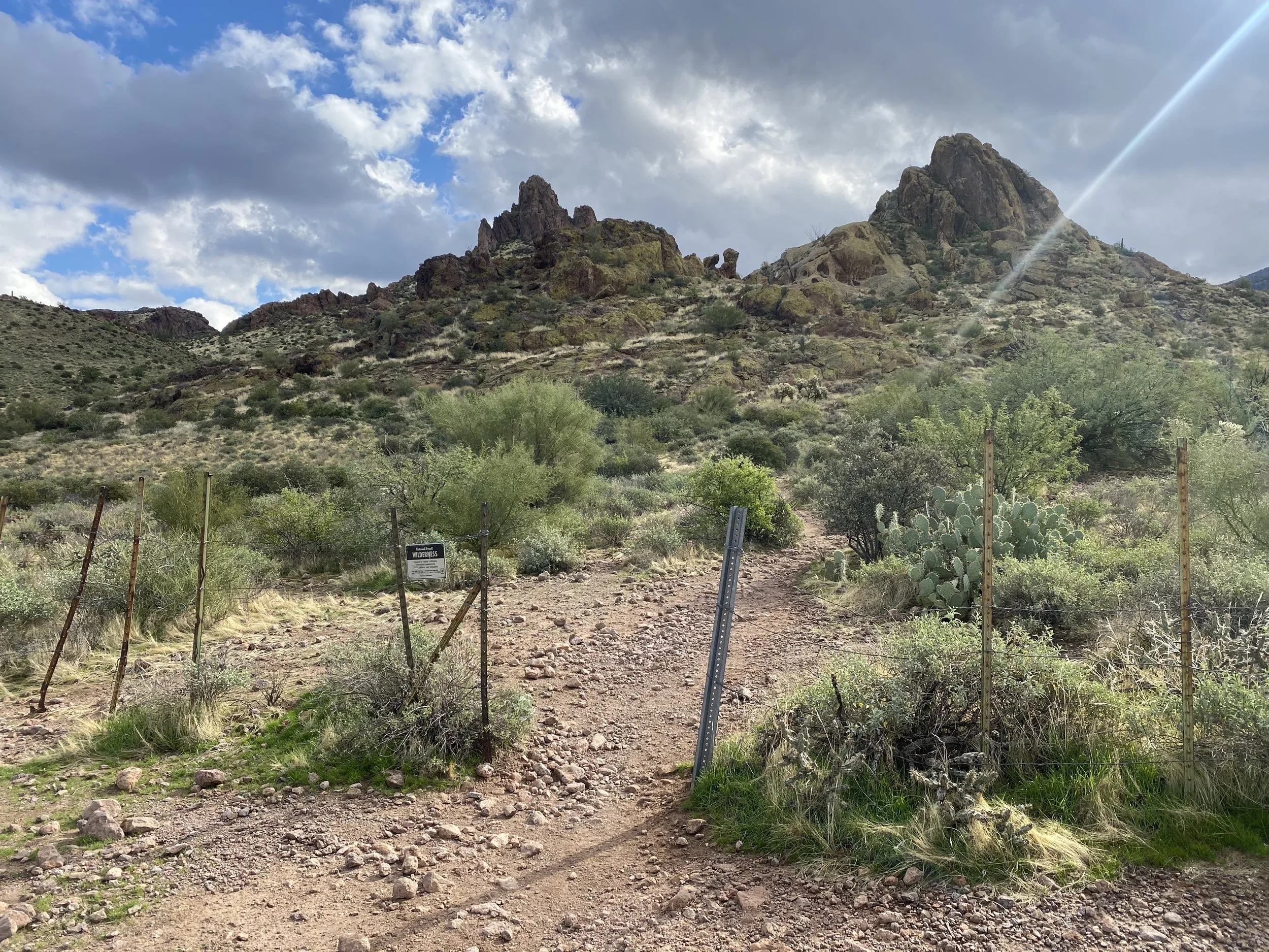
You know you’re on the right trail when you pass through this fence opening.

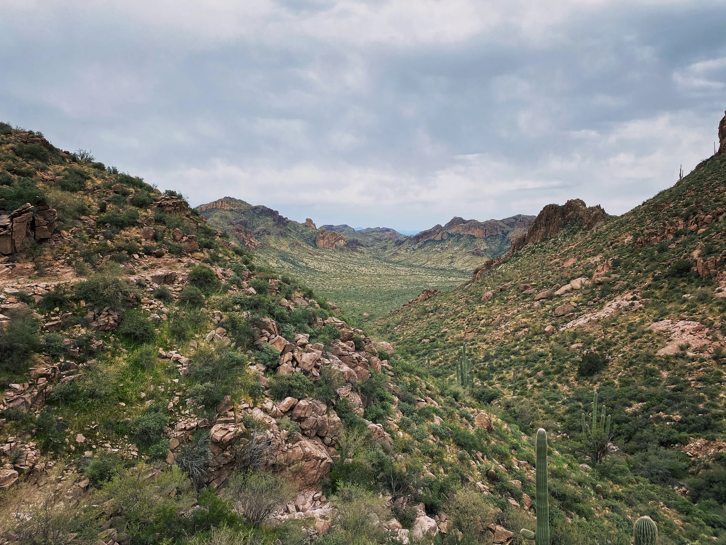
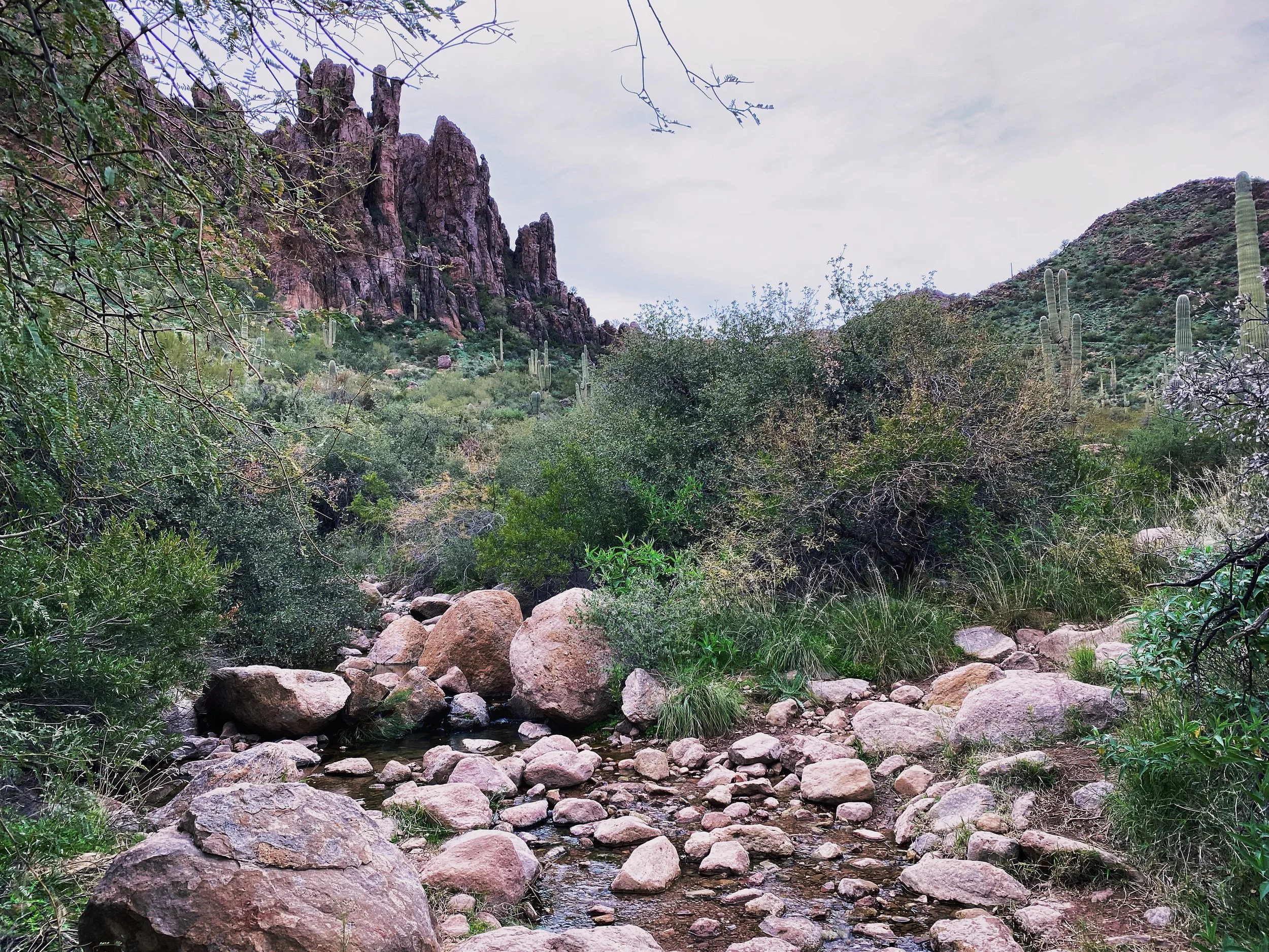
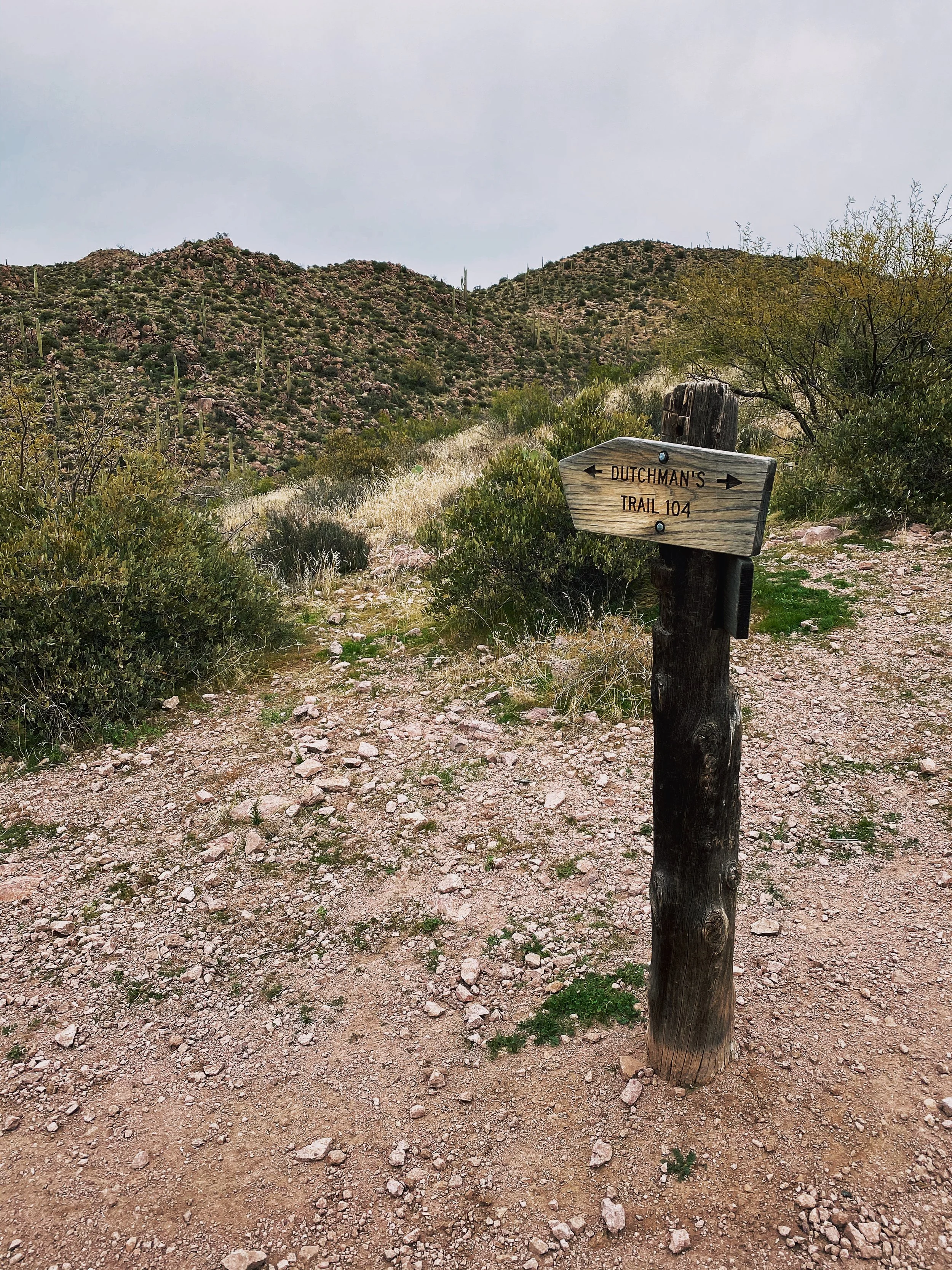
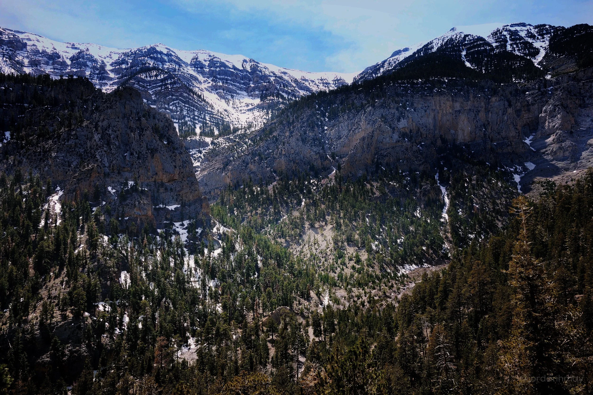
Dutchman Bluff Springs Loop
Located just East of Phoenix, Arizona, the Dutchman Bluff Springs Hiking Loop is tucked in nicely along the Superstition Mountains. During one of my assignments in Arizona, I made time to get in a days hike. Looking over All Trails, I came across this gem. I was looking for something that required medium to strenuous effort without any rock climbing or scaling rock walls. Hiking solo, I wanted to keep risk to a minimum. I still had a job to do the next day after all!
This loop is just over 9 miles in length and typically takes 4-5 hours to complete, depending on weather and your fitness level. I finished somewhere in the middle of that timeframe. As with every trail in Arizona, please be prepared. Hiking in the desert can be dangerous without proper preparation. Always let someone know where you are going and when you should be back. Pack more food and water than expected. I suggest some type of satellite emergency device, such as a Garmin InReach. A good portion of this trail has ZERO cellular coverage. For the kids out there, that means your iPhone isn’t going to let you upload to Instagram while hiking. Sorry.
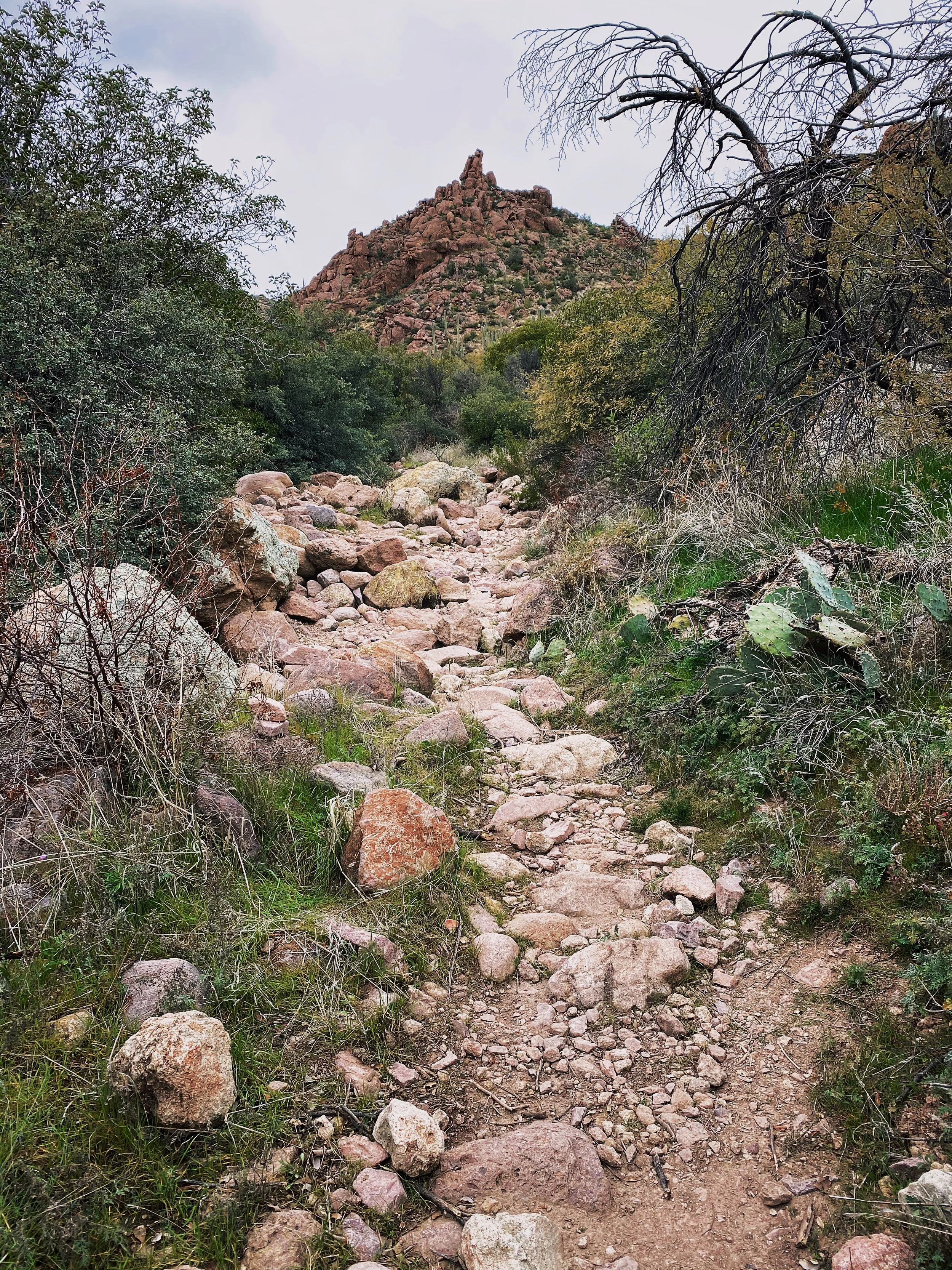
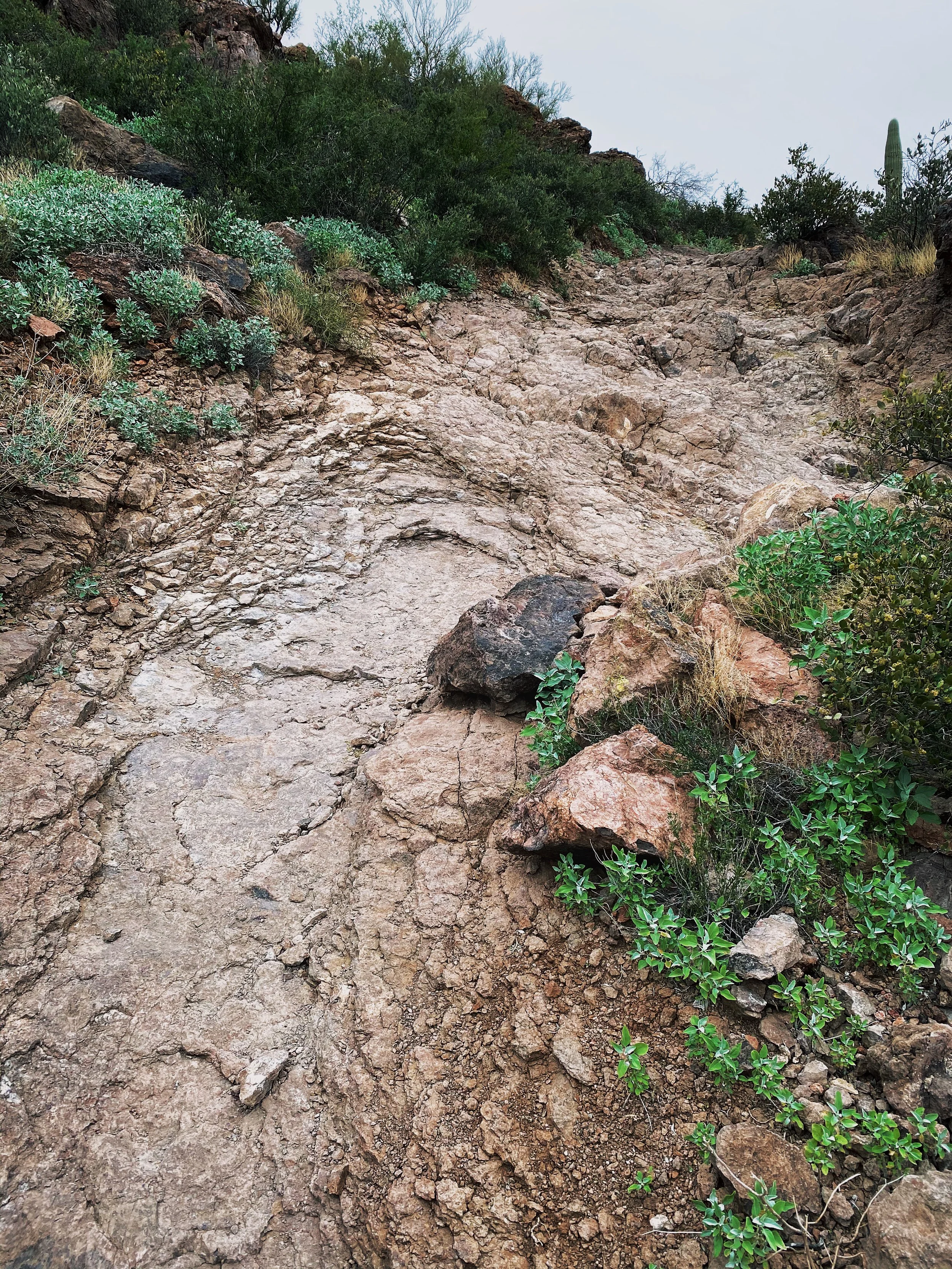
I would also recommend a solid pair of hiking boots, leave the trainers at home. You will want some ankle support and a hard sole. A good portion of this trail requires navigating rocks, stream beds, narrow passages and a few exposed sections where footing is key.
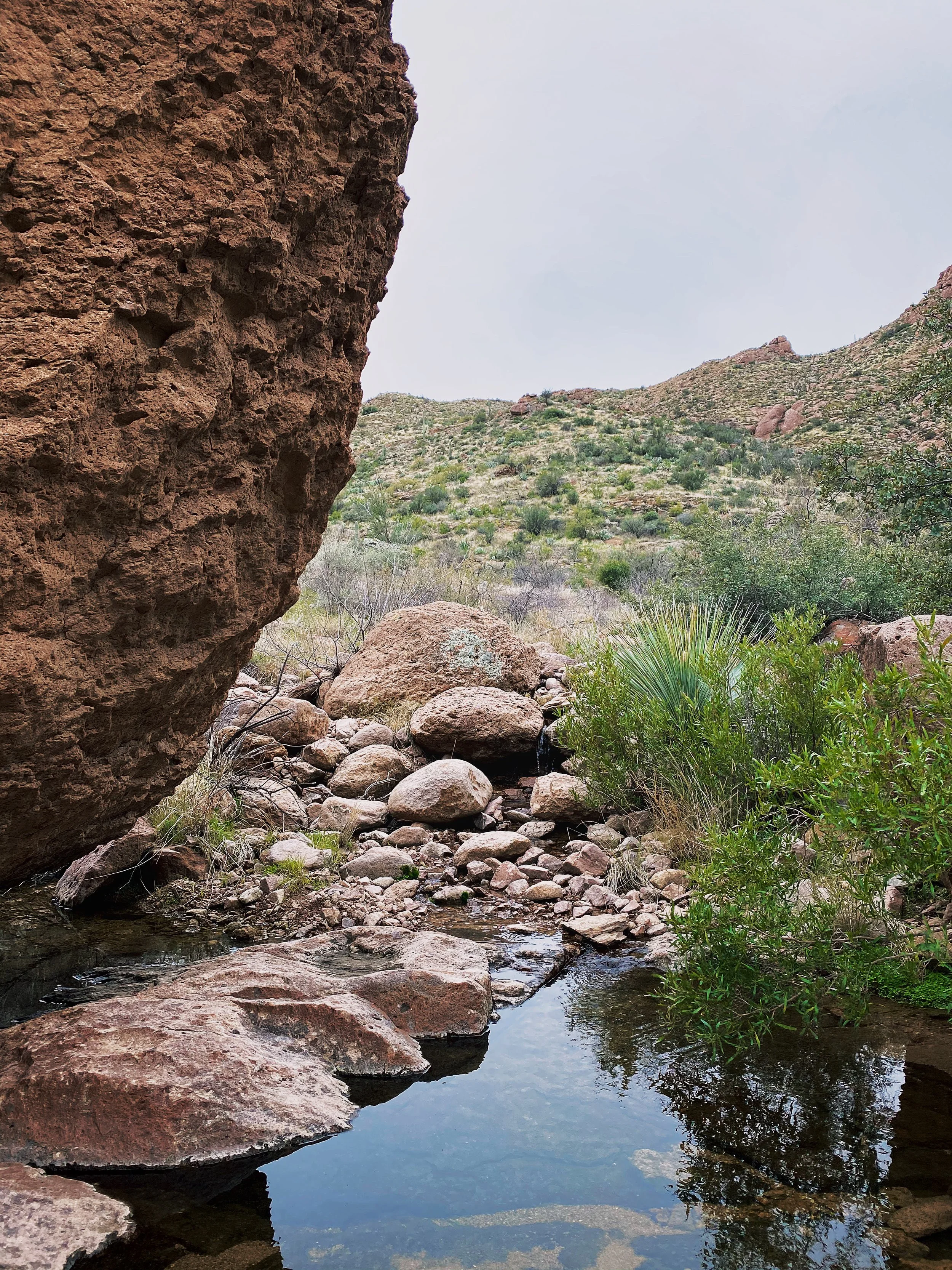
Bring a camera or at least your phone, you will be in for a number of scenic treats along the way.
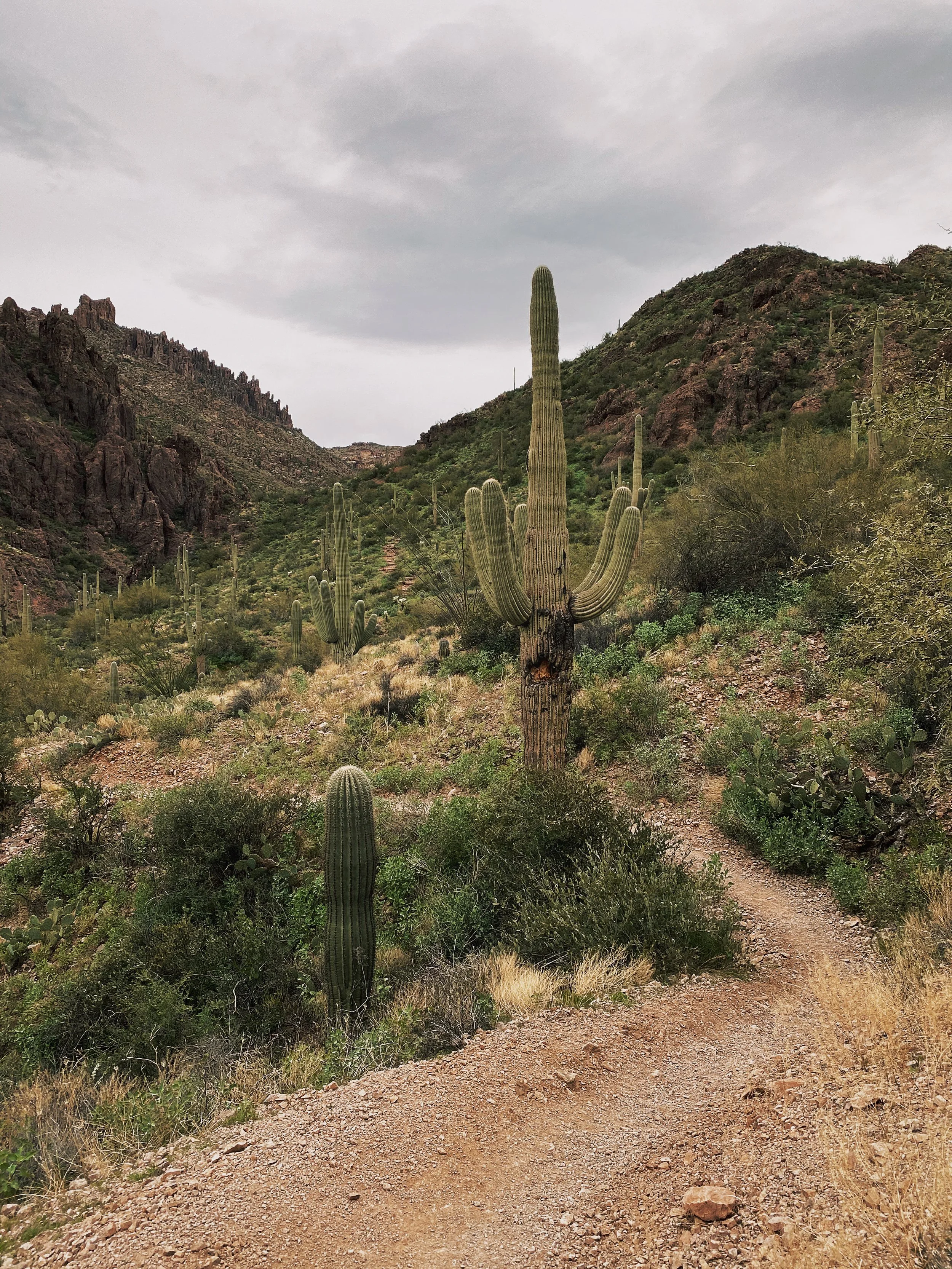
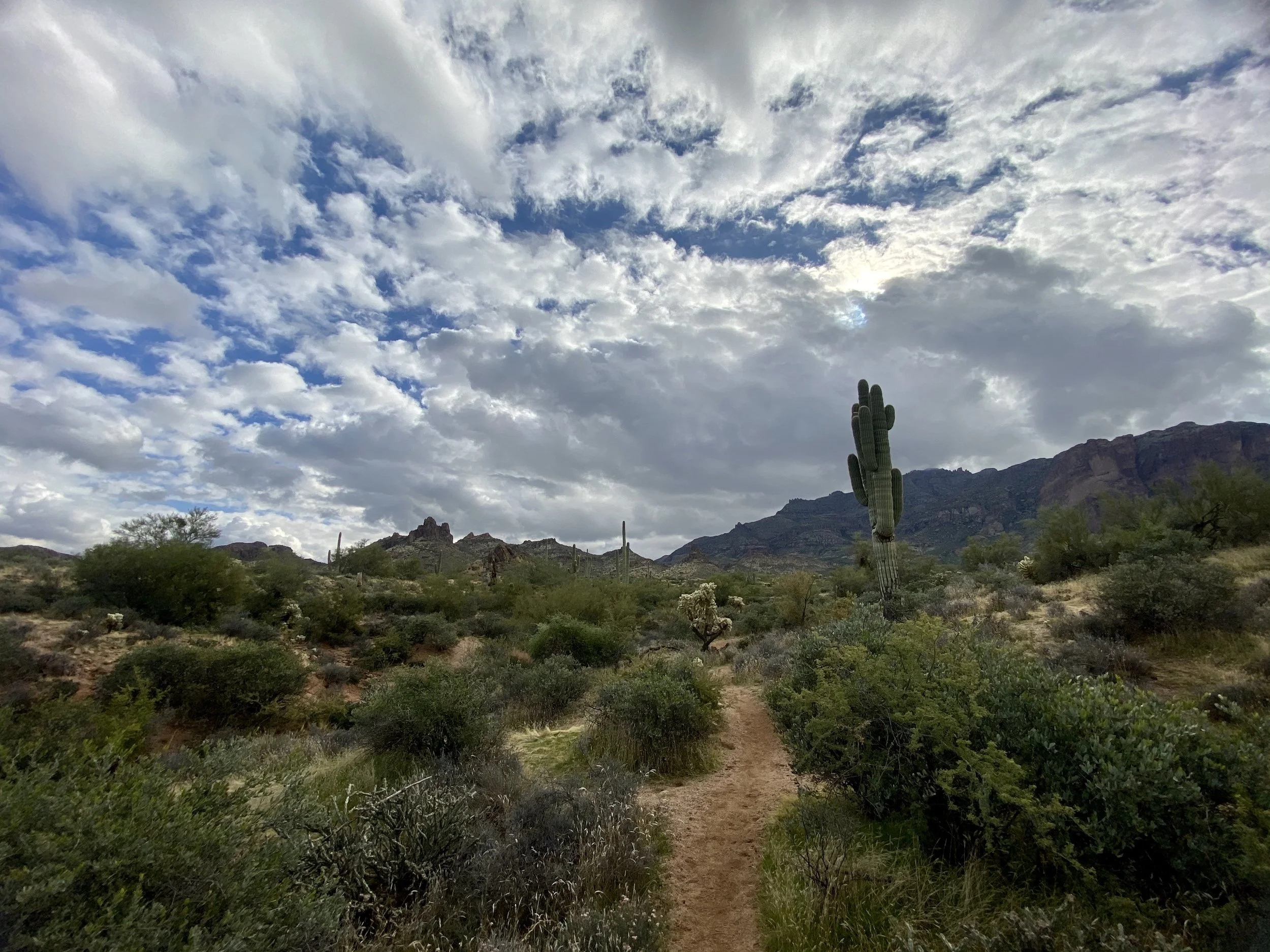
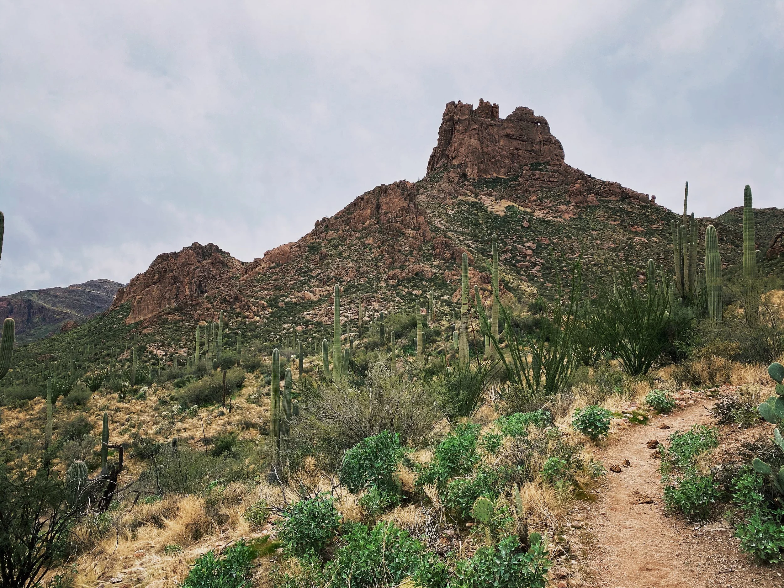
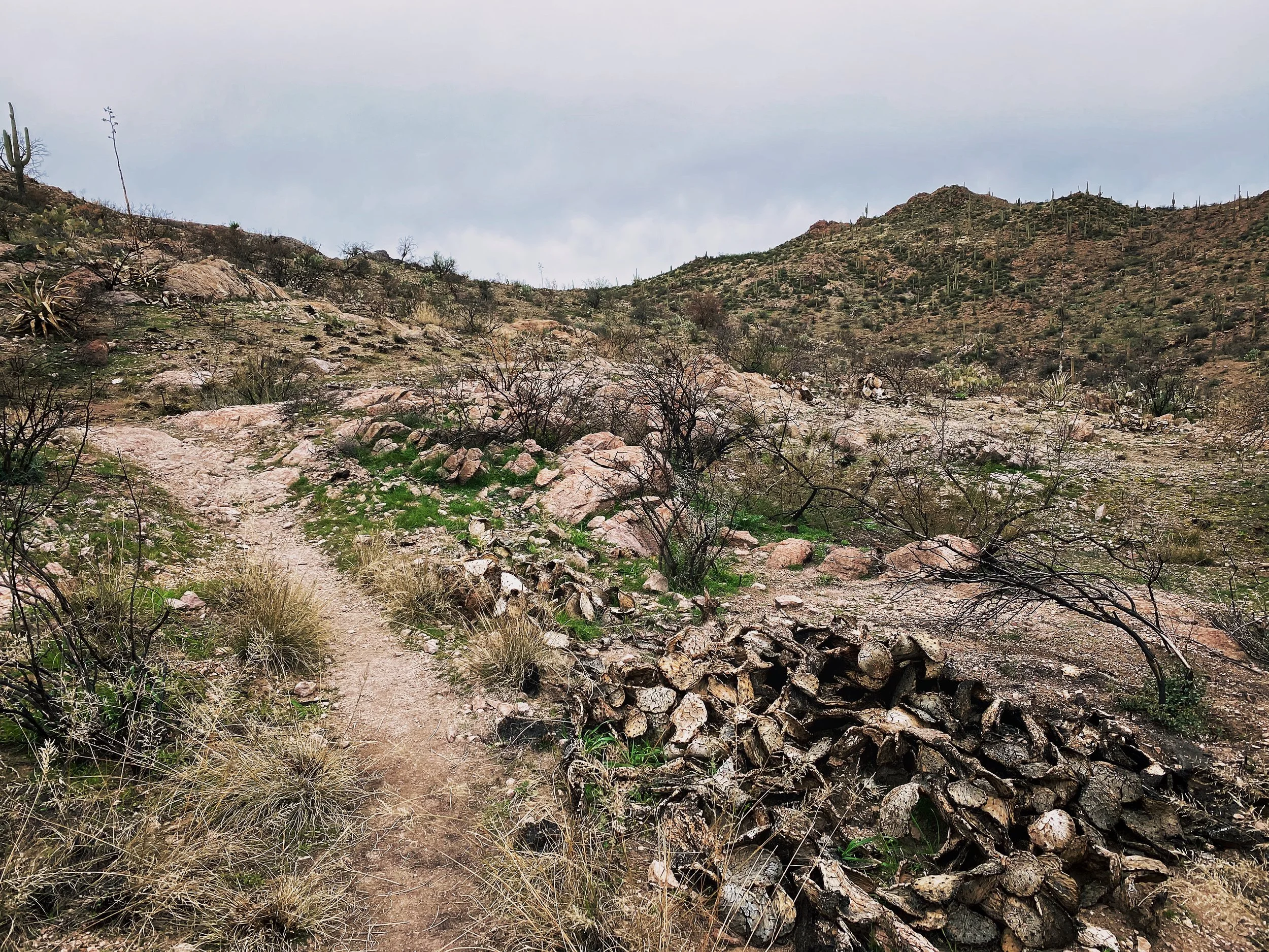
Saguaro cactus is littered everywhere standing tall. Remember to keep an eye on your arm movement as you pass or you may have some prickly friends along for the ride.
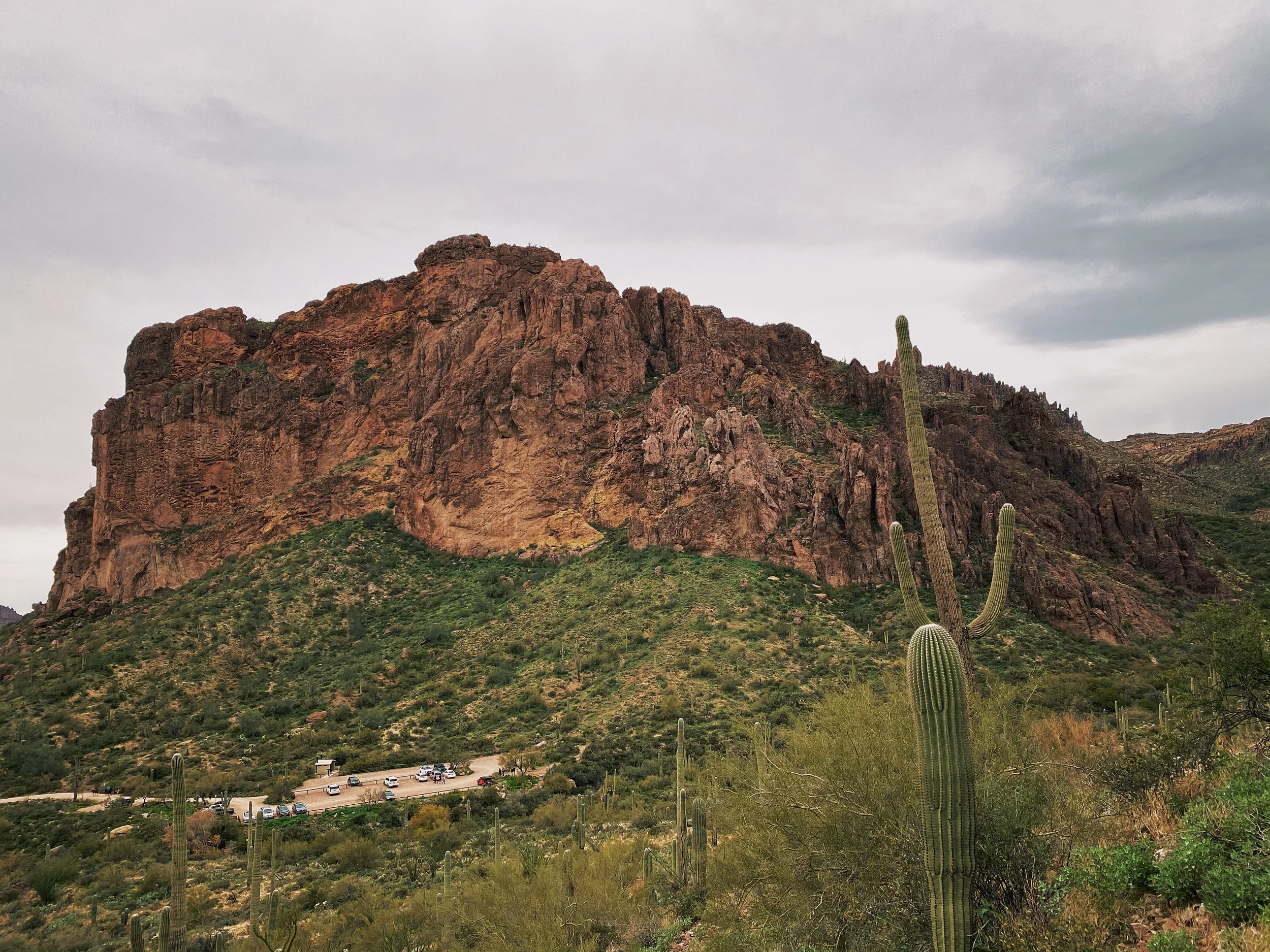
Upon arrival you will find a small dirt parking lot and restrooms. I have completed this hike 3 times and found the restrooms always open. I wouldn’t count on it though. Be prepared to pack it in and pack it out.
The trail is very easy to follow, though I would still recommend downloading a copy of the trail map to your phone ahead of time. Even with zero cellular coverage, a downloaded map file should still show you as a DOT on the map. I was able to follow the All Trails map with ease.
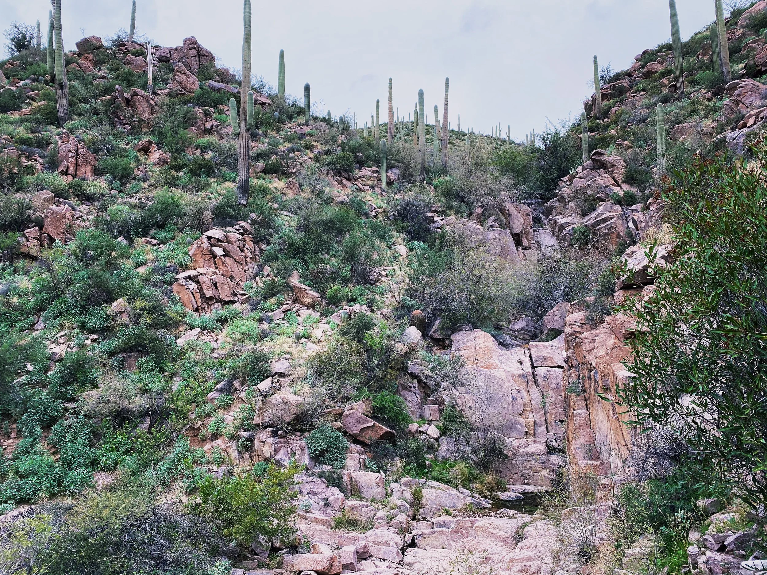
Sections like this are why I recommend hiking boots. Easy to turn an ankle navigating rock gardens. A set of hiking poles may not be a bad choice either.
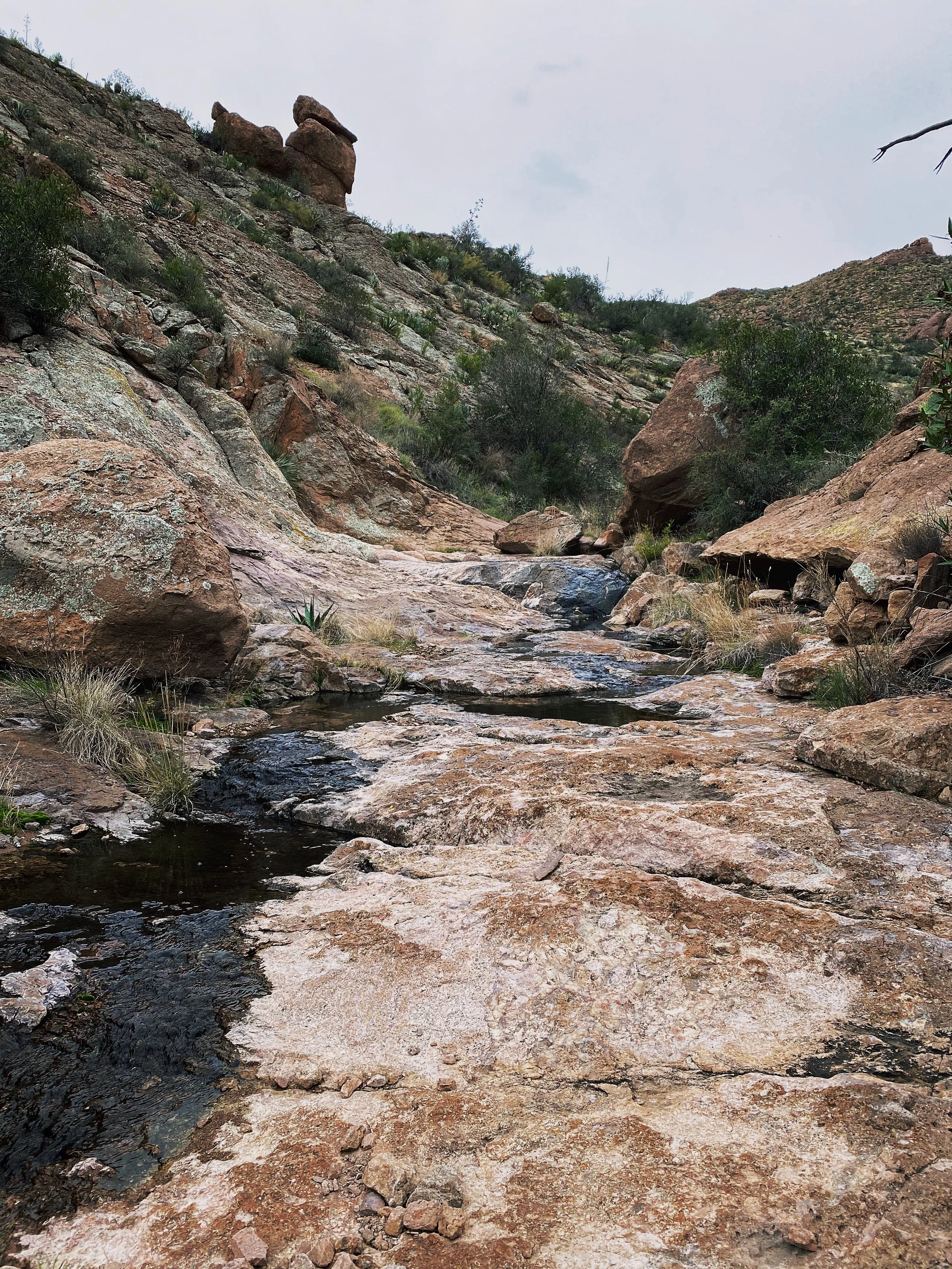
Use caution traversing the slick rock sections. It get’s its name for a very good reason. If there is ANY water flowing through the canyon, it will make passing much more challenging.
Though most of the inclines are mellow, there are a good number of punchy ups.
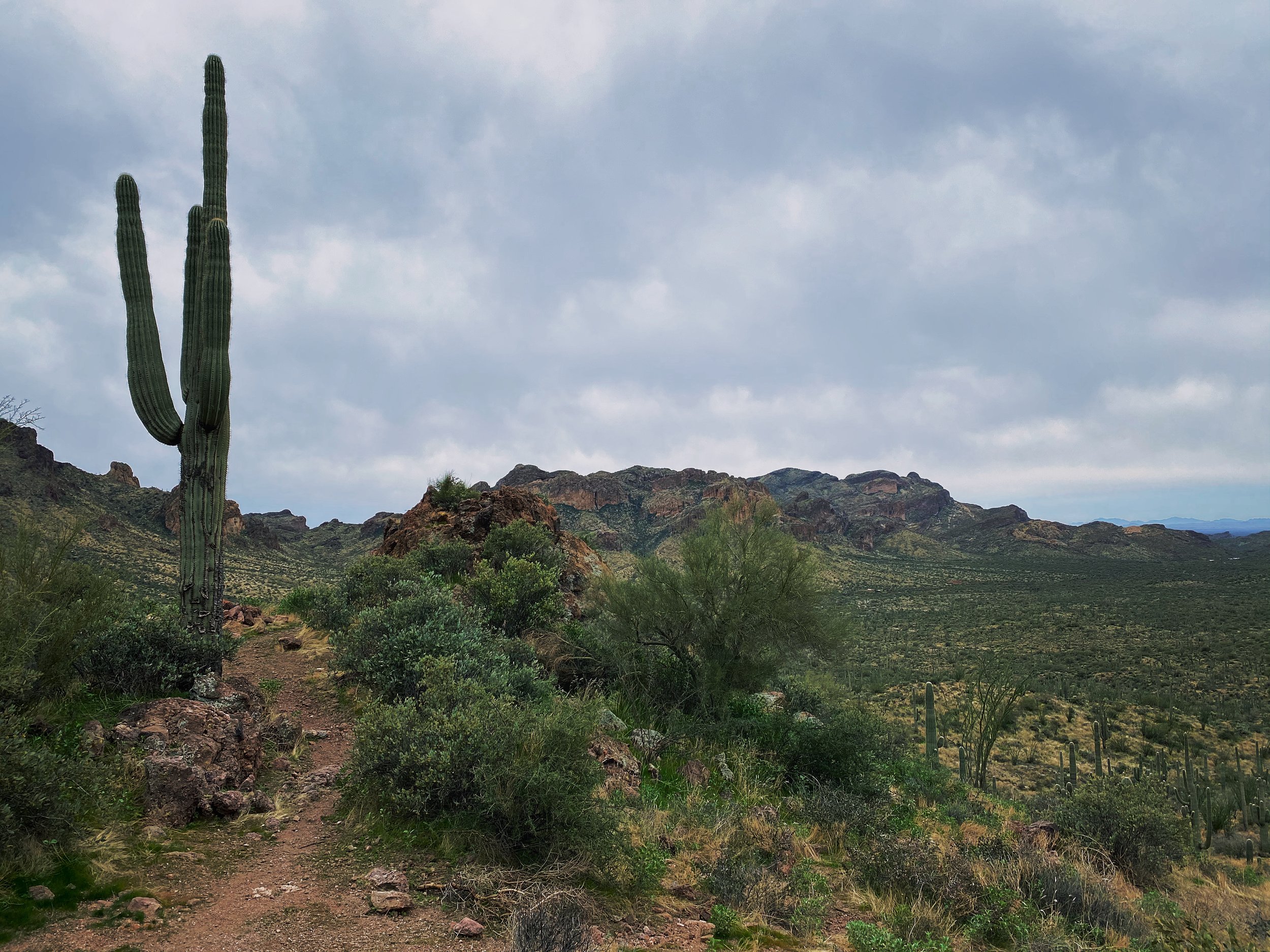
Views on views. At this moment I was really missing my Fuji X-Pro 2 I left in the hotel room.
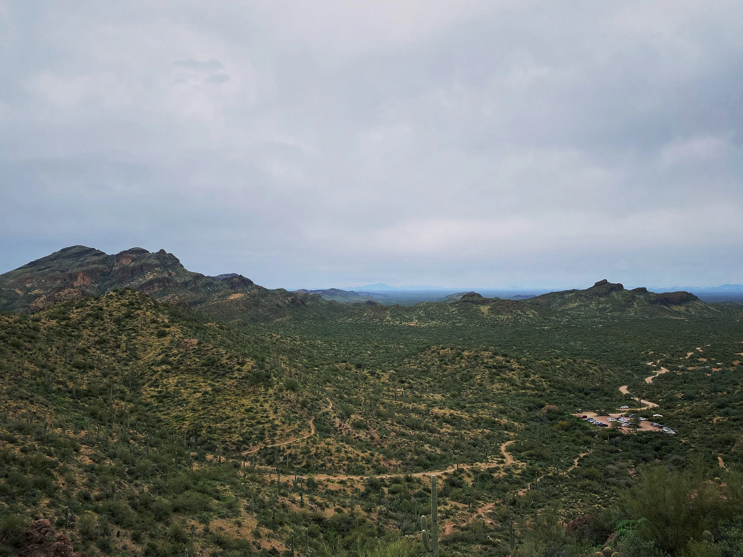
Looking back at the parking area after hitting the first peak of the day.
This is one of the punchy climbs I mentioned. It is much steeper than it looks. Be ready.
I found a great deal of information about the trails, recent trail reports, weather and more on All Trails. Do some research before you embark on your own. As always, stay safe and have a blast out there!
Thankful
The sun breaks the horizon. Last sip of coffee is down. Shoes are tied. Cap cannot be found. Fill the bottle to the very top. Camera at the ready. Morning breeze strikes a chill. Three zips, two snaps. Down layered warmth. Hiking stick in firm grasp. Found my cap. Dirt crunching under my feet. Climb. Quicken the pace. Crack. Both hands free. Keep going. Blueberry breakfast. Goal in sight. Push. Floor covered white. Just one more. Sip sip. A neighbor far below. Big pine surrounded. Miles of smiles. Breathe. Peak creeps closer. Powder falling down. Shutter click. Holding memories. Relax. Thankful.